
More than 40 km of roads turned into design data
An integrated survey for cycle lanes, bridges, pedestrian underpasses and river sections: mobile mapping, terrestrial laser scanning, robotic total stations and GNSS in a single coherent workflow.
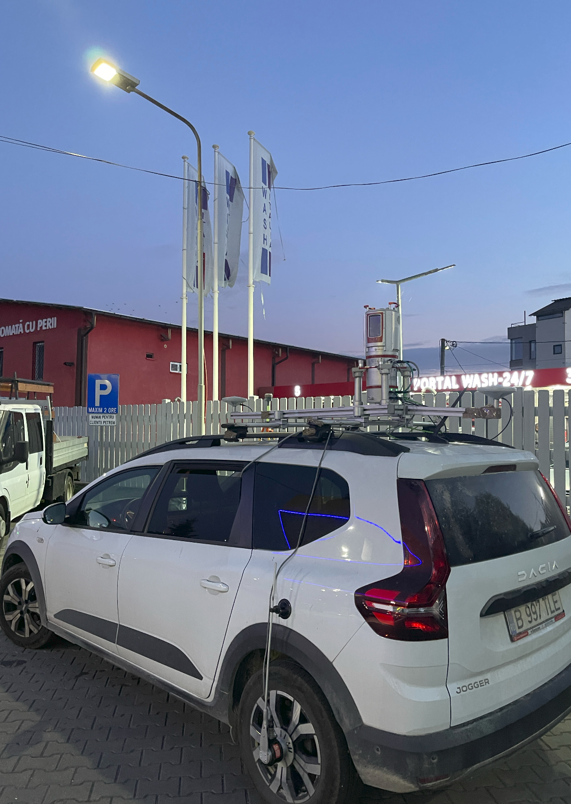
A city is not measured with a single technology.
To develop the cycle lane network and prepare work on bridges and pedestrian underpasses, the 3D Discovery team documented more than 40 km of routes in Râmnicu Vâlcea.
The corridors included carriageway, pavements, junctions, built fronts, crossing areas and riverbeds along the routes analysed. Each environment needed an adapted measurement method, but all the data was tied into a common base for design.
Speed along the corridor. Detail in the critical areas.
Mobile mapping
Continuous, efficient capture of street geometry over long distances, with minimal impact on traffic.
Terrestrial scanning
High density at complex points: bridges, underpasses, junctions and hard-to-reach areas.
Robotic total stations
Survey control and precise measurement of the elements relevant to design.
GNSS systems
Geospatial positioning and tying the field campaigns into a single system.
The urban corridor, documented in 3D
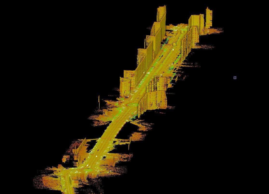
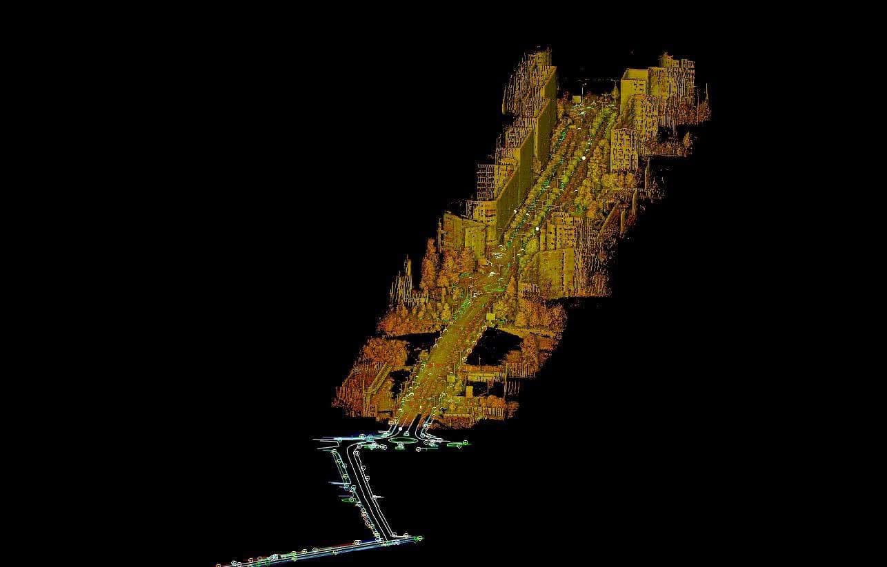
The information needed for design decisions
The combined capture recorded the existing geometry of the routes and the relationship between infrastructure, pedestrian space, buildings and watercourses.
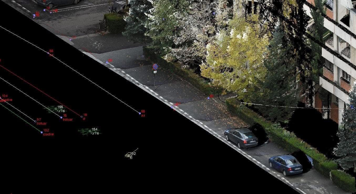
A verifiable digital base for infrastructure.
The point clouds and survey measurements give designers the real context of the site, reduce extra site visits and support the analysis of solutions before work on the ground.
Preparing a road or urban mobility project?
Send us the route and the project objectives. We choose the right capture method and the structure of the deliverables.
Discuss the project with the 3DD team