
19th-century villa, Giurgiu — 3D scanning for restoration
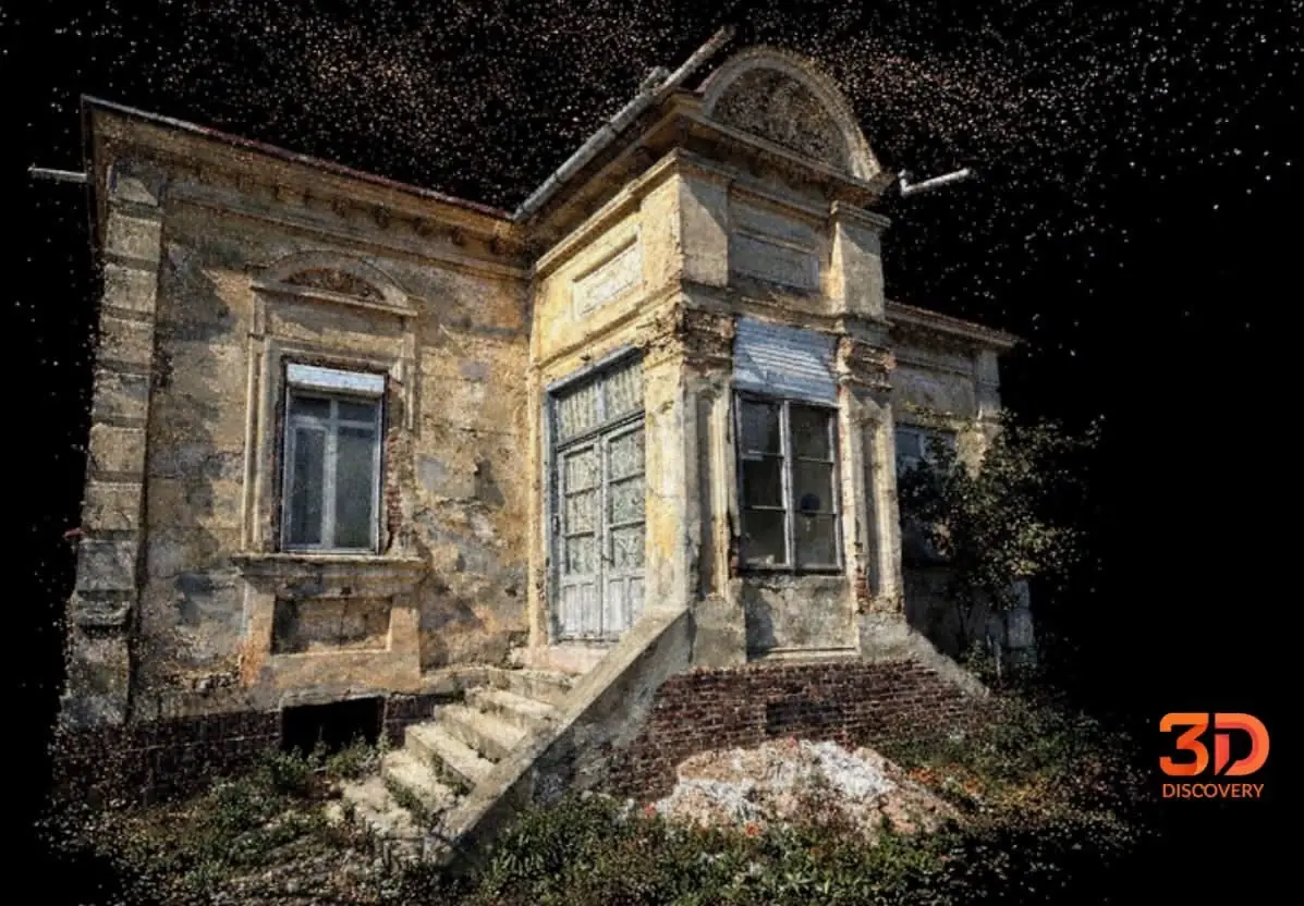
A late 19th-century historic house documented with laser scanning to design work on its façades: one day on site, point cloud, 3D model and façade survey at 1:50.
In short
- Building: historic house, late 19th century, Giurgiu
- Equipment: RIEGL terrestrial laser scanner
- On site: 1 day, interior and exterior
- Modelling: about 3 days
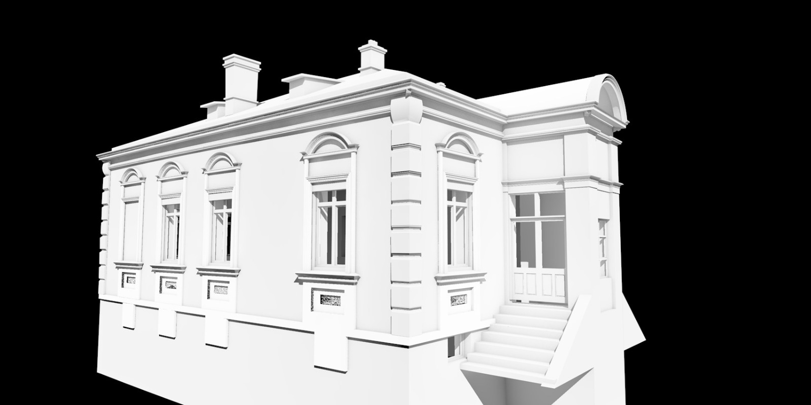
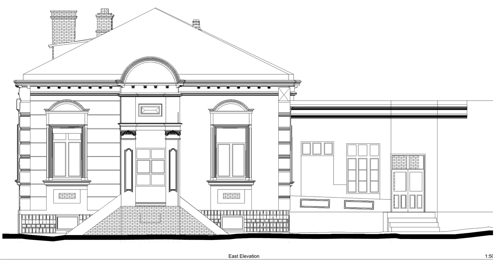
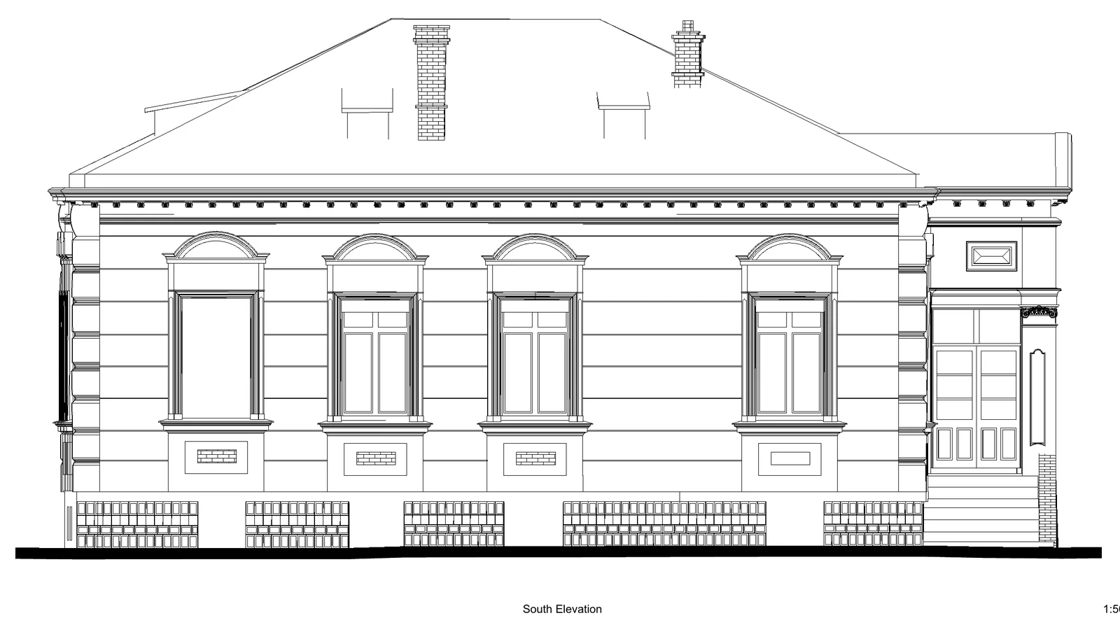
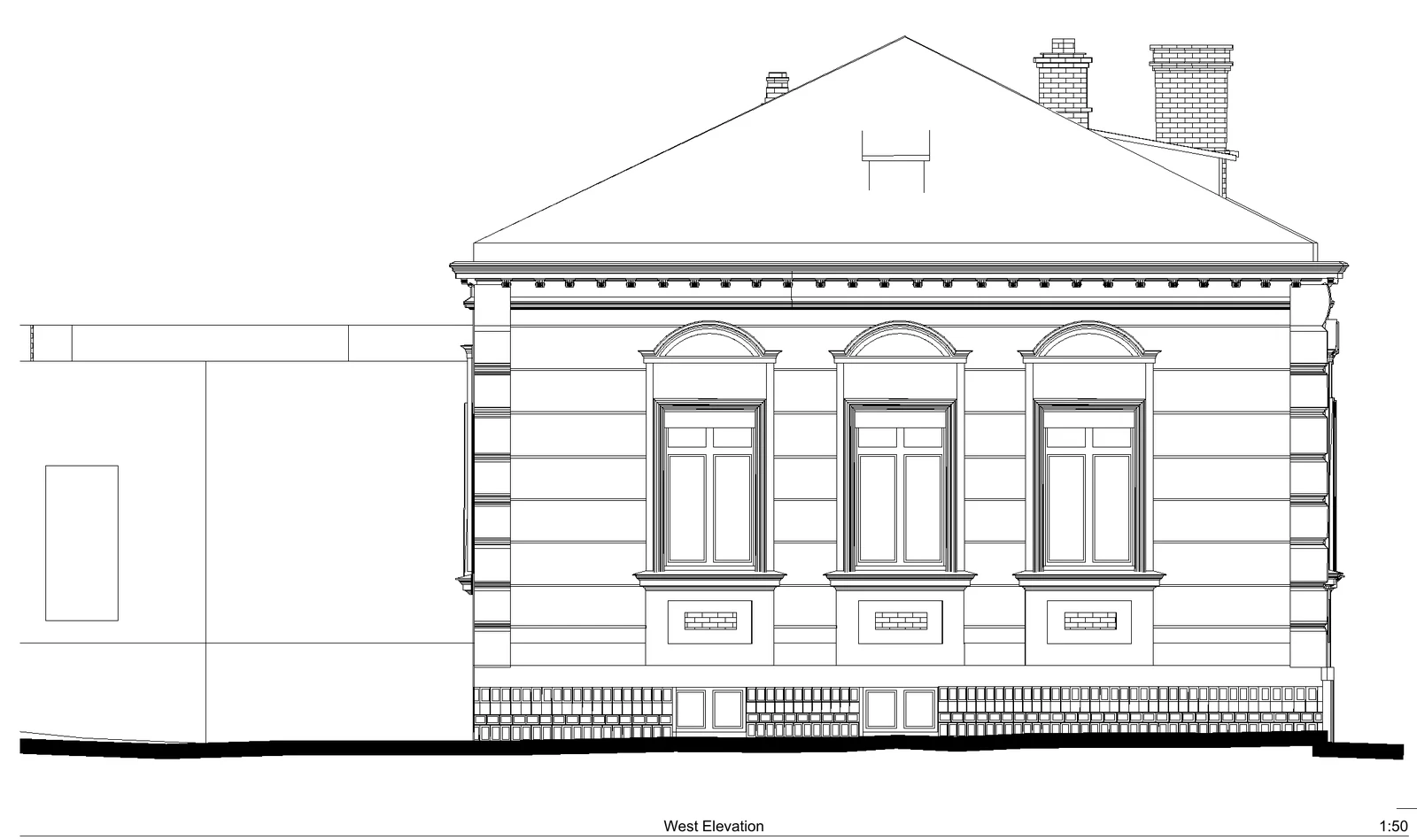
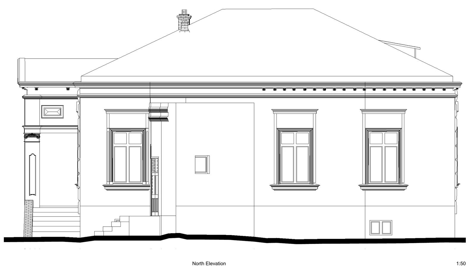
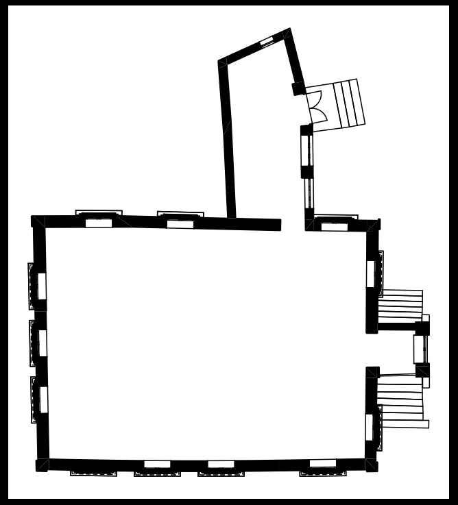
- Deliverables: point cloud, 3D model, elevations at 1:50 (East, West, South, North), ground floor plan
- Purpose: designing interventions on the façades
Project objective
The design team needed a precise geometric base for the façade interventions: the proportions of the openings, profiles, cornices, window surrounds and existing deformations had to be recorded faithfully before design.
Scanning and modelling
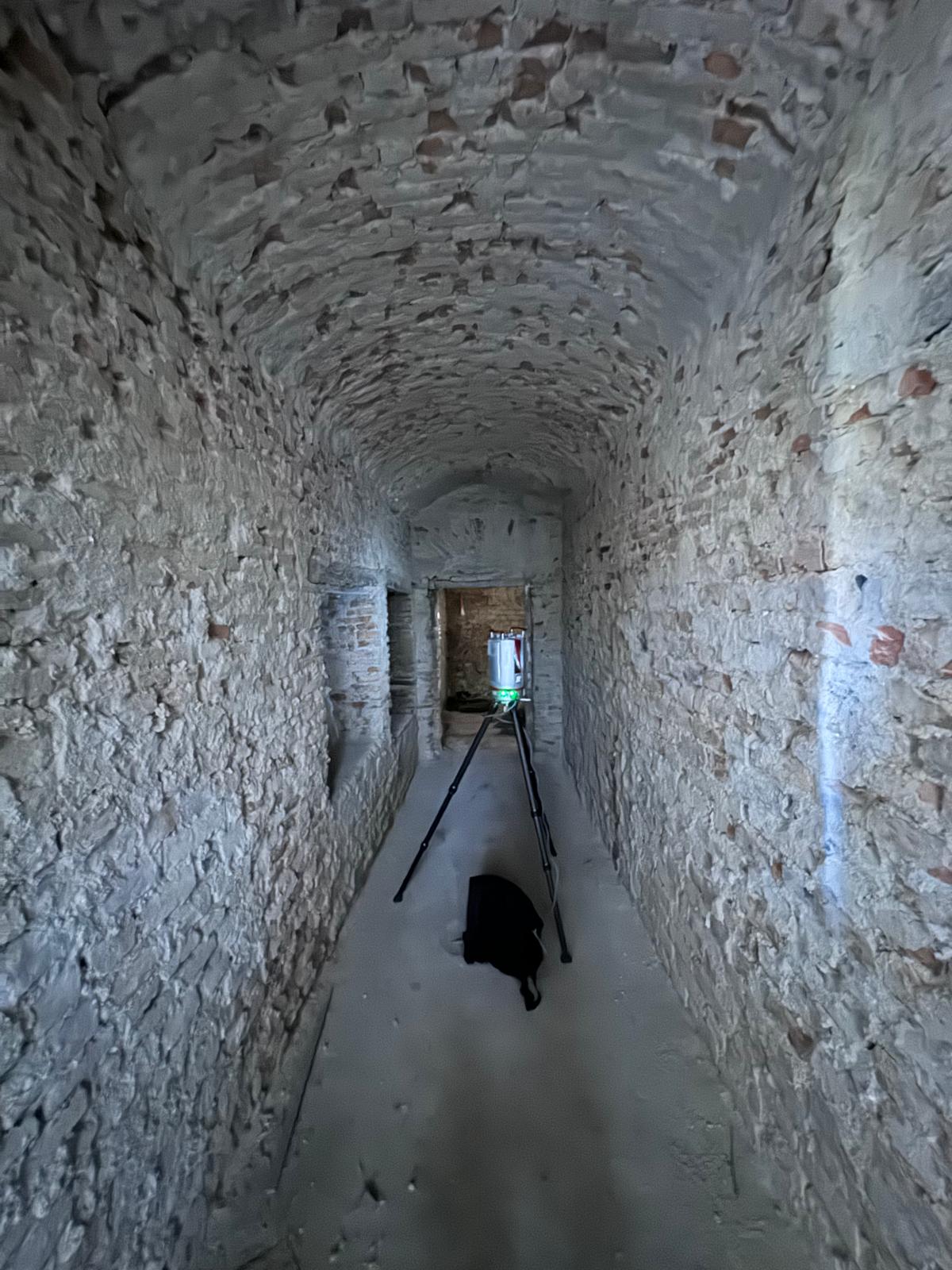
The building was scanned with a RIEGL terrestrial laser system, inside and out, in a single day on site. The point cloud was used to build the 3D model and extract the elevations, and modelling took about three days.
The result
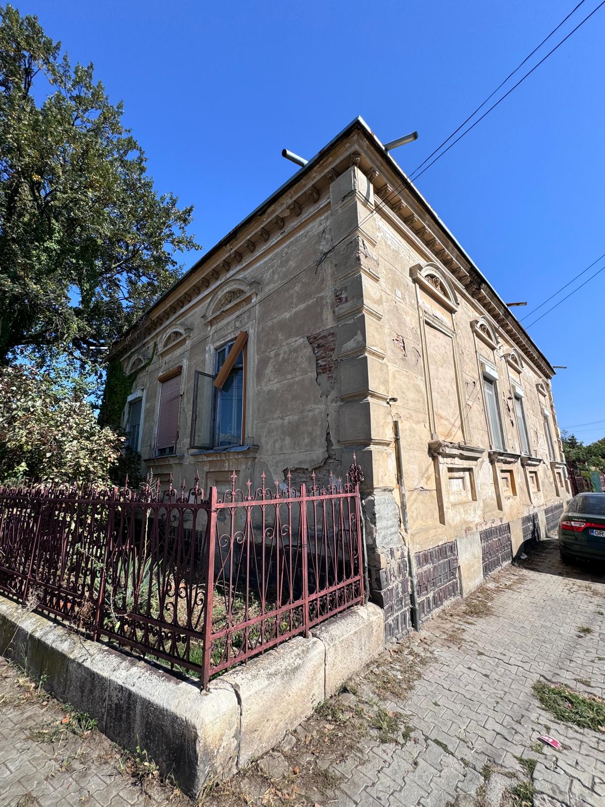
The architect receives a measured representation of the existing building, including the details and irregularities of the façades: semicircular pediment, dentilled cornices, window surrounds, brick plinth. The model reduces repeated site checks and allows the interventions to be designed on the building's real geometry.
Project gallery
From the point cloud to the façade survey. Click an image to enlarge.

Frequently asked questions
How long did the 3D scan of the Giurgiu villa take?
Site capture took one day, inside and out, with a RIEGL terrestrial laser scanner. 3D modelling took about three days.
What deliverables did the design team receive?
A point cloud, a 3D model and façade documentation: the four elevations at 1:50 and the ground floor plan, extracted from the scan.
Why laser scanning rather than conventional measurement for a historic building?
Profiles, cornices, window surrounds and existing deformations are recorded faithfully in a single day on site, without approximate measurements or repeated checks on site.
What is the façade survey used for?
For designing façade interventions on the building's real geometry: restoration, rebuilding decorative elements and approvals.
Have a historic building to document?
Send us a few photos, the location and the approximate floor area. Within 24 working hours we tell you how we would document it, what we deliver and what it costs. Indicative ranges on the pricing page.
Describe your project →