
In short: a historic building is documented before restoration with 3D laser scanning complemented by a topographic survey. Sections, elevations and plans are extracted from the point cloud to show the real geometry, with the deformations and interventions accumulated over time, not the intent in the archive drawings. At Cantacuzino Villa in Călimănești, site capture took one day with a Riegl VZ-400i scanner.
The restoration of a historic building starts before the first intervention: with an exact understanding of the existing geometry. At Cantacuzino Villa in Călimănești, 3D Discovery completely documented the building and the site, so that the architects, structural engineer and surveyor could work on the same verified technical base.
Why old drawings are not enough
Archive drawings describe, at best, the original design intent. A historic building, however, carries the marks of time: deformations, deviations, successive interventions and elements that no longer match the existing drawings. In restoration, these differences are not details. They affect the solutions, the quantities, the coordination between disciplines and the budget.
3D laser scanning captures the current condition without simplifying the geometry. The result is a measurable reference that can be consulted and checked throughout the project.
Documenting Cantacuzino Villa
In one day the 3D Discovery team carried out complete data capture, inside and out, using the Riegl VZ-400i laser scanner and GNSS equipment. The topographic survey brought the building, the terrain and its surroundings into a common coordinate system.
- Location: Călimănești, Vâlcea County
- Type: historic villa
- Capture: one day, interior and exterior
- Technology: Riegl VZ-400i and GNSS
- Deliverables: 3D model, sections, elevations and topographic plan
- Purpose: restoration and conservation
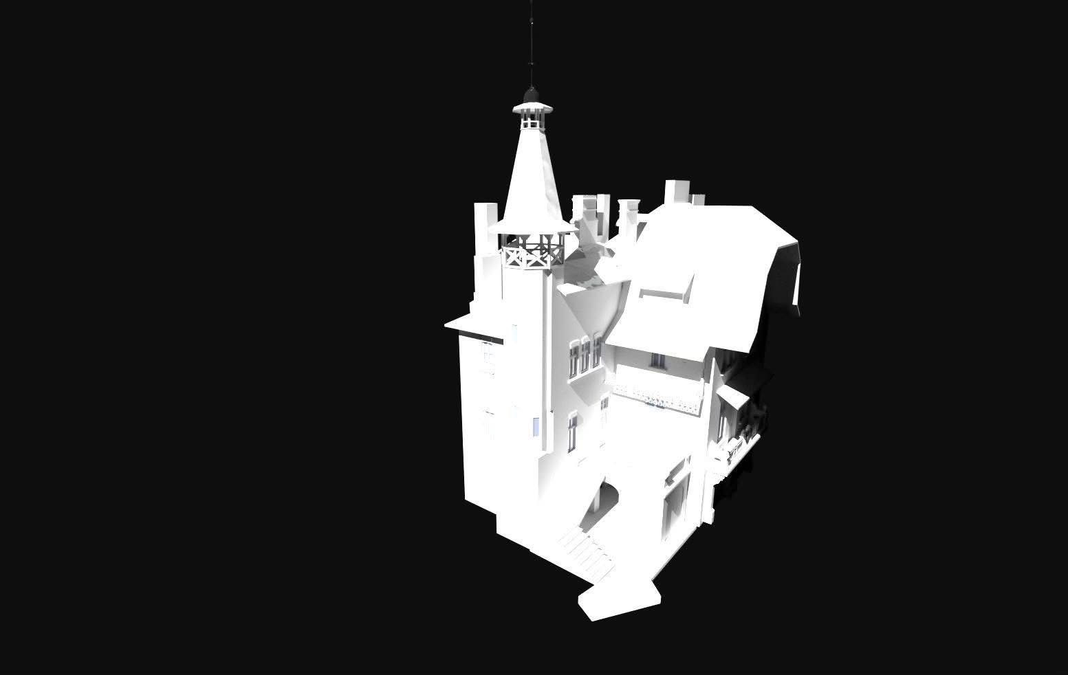
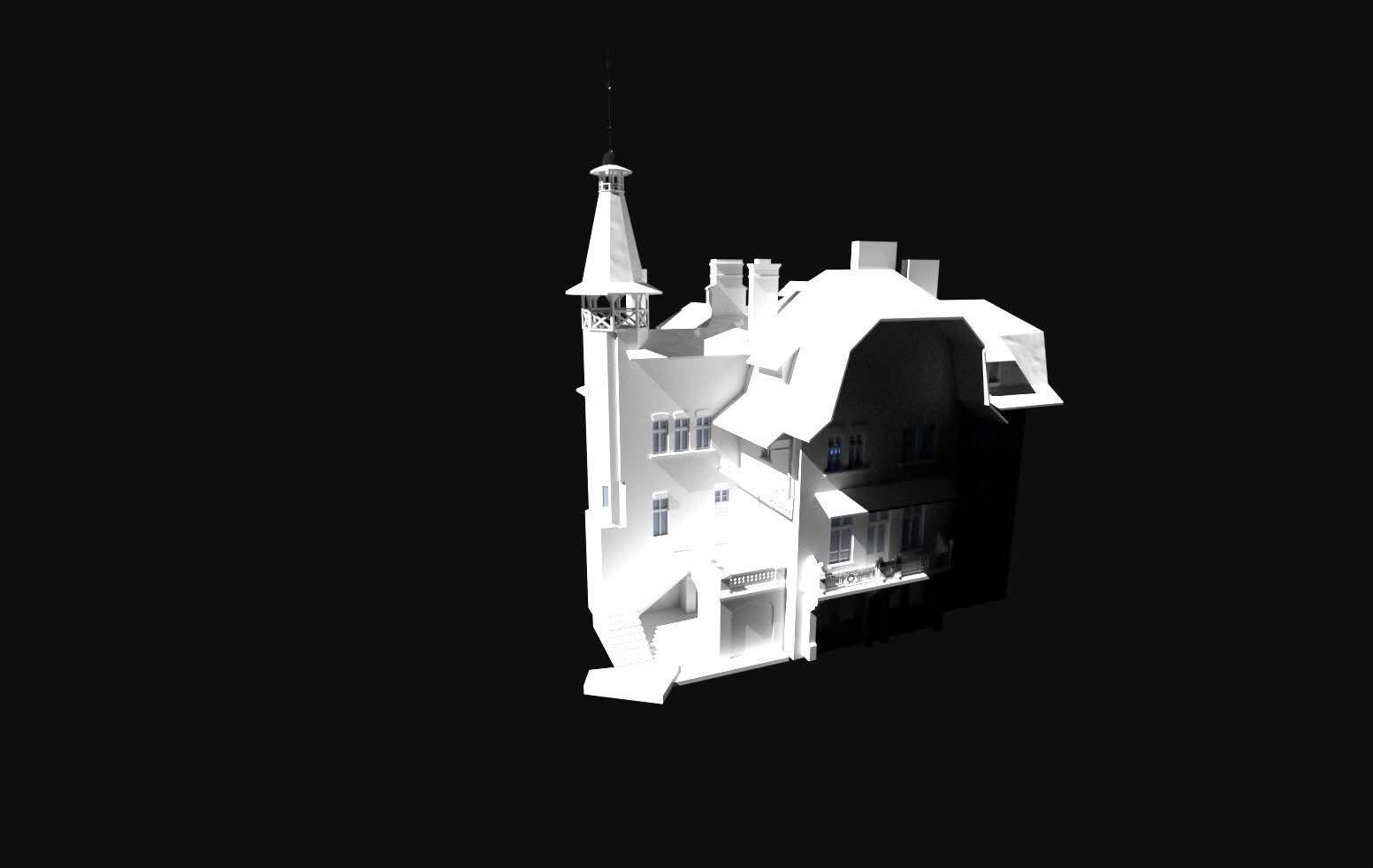
From the point cloud to usable documentation
The millions of points captured on site were registered and checked to form a coherent digital representation. From it, the three-dimensional model and the measured sections and elevations were extracted. This is not a spectacular image but technical data from which dimensions, levels, alignments and spatial relationships can be checked.
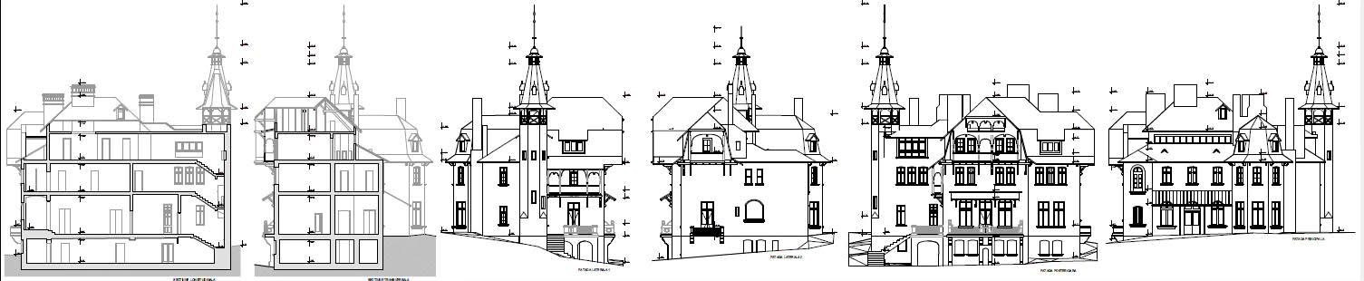
The major advantage is continuity of information: the architect, structural engineer and surveyor no longer rebuild the same reality separately. They all start from the same dataset.
Why the topographic plan complements 3D scanning
The building model explains the geometry of the structure. The topographic plan explains its position on the ground and its relationship to its surroundings. Together they provide the context needed for design, approvals and coordinating interventions.
For Cantacuzino Villa, combining the two types of measurement removed the fragmentation between the building survey and the site documentation.
The real value: fewer unknowns before design
3D documentation does not replace the expertise of the architect or engineer. It does, however, give them a safer base. The real geometry can reduce return visits, repeated measurements and corrections after design has started.
Every 3D Discovery project is configured modularly. Only the methods and deliverables the objective needs are included: laser scanning, land surveying, UAV photogrammetry, 2D plans or 3D modelling.
Frequently asked questions
Can a historic building be scanned without any intervention on it?
Yes. Laser scanning is a contactless capture method and is suitable for documenting the visible geometry of heritage buildings.
What is delivered after scanning?
Depending on the objective, the point cloud, floor plans, sections, elevations, a 3D model and a topographic plan can be delivered. The package is agreed before quoting.
How long does the documentation take?
The time depends on floor area, access, complexity and level of detail. For Cantacuzino Villa, complete capture inside and out was carried out in one day.
Have a historic building to document?
See the Cantacuzino Villa project sheet or check the indicative ranges for 3D documentation. Send us the approximate floor area, the location and the deliverables you need, and within 24 working hours you receive a first estimate.