
Cantacuzino Villa, Călimănești — 3D scanning and topographic plan
Complete documentation of a historic building, from the existing geometry to deliverables usable directly in restoration and conservation.
In short
- Building: historic villa, Călimănești, Vâlcea County
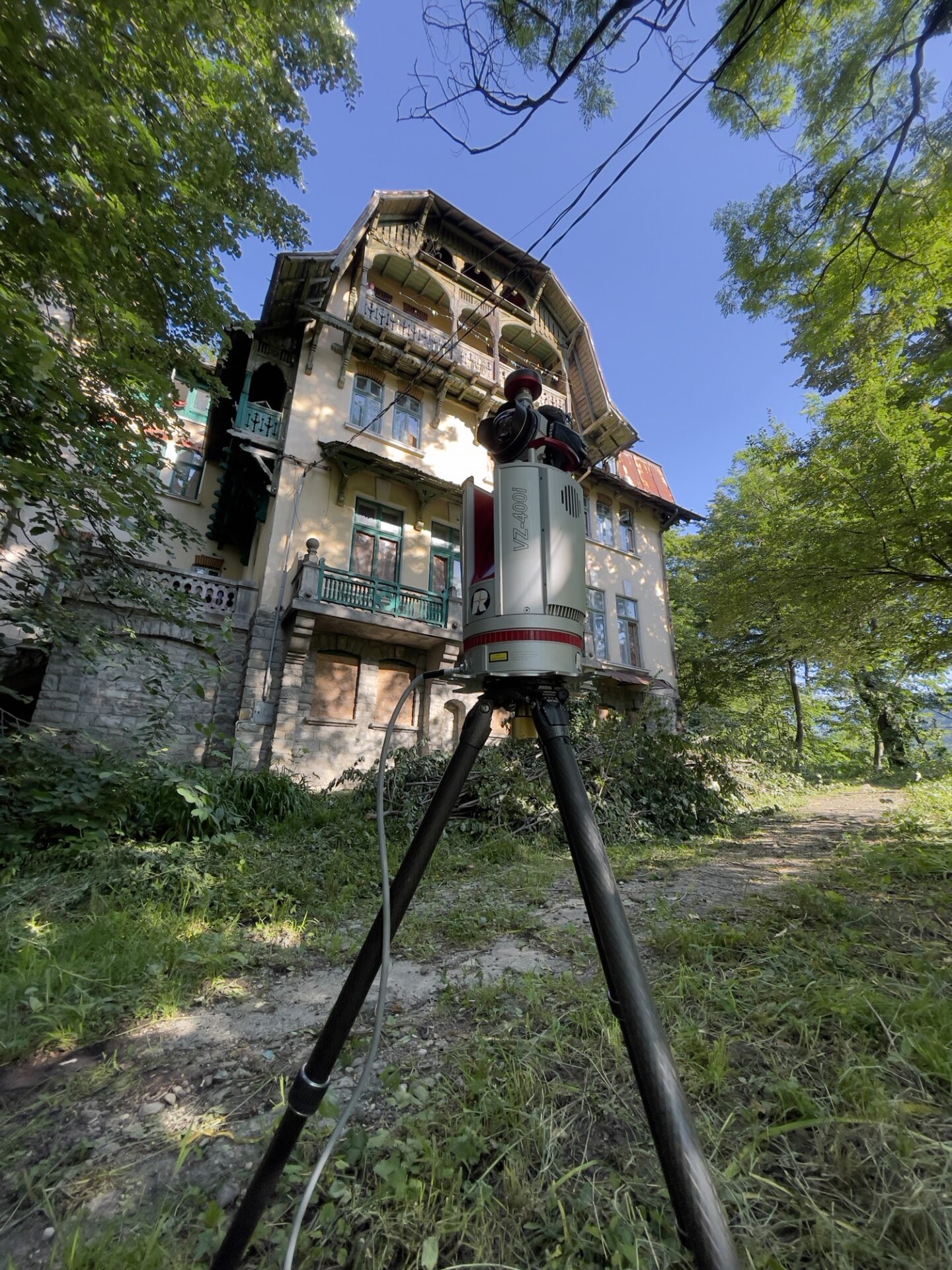
- Equipment: Riegl VZ-400i, GNSS
- On site: 1 day, interior and exterior
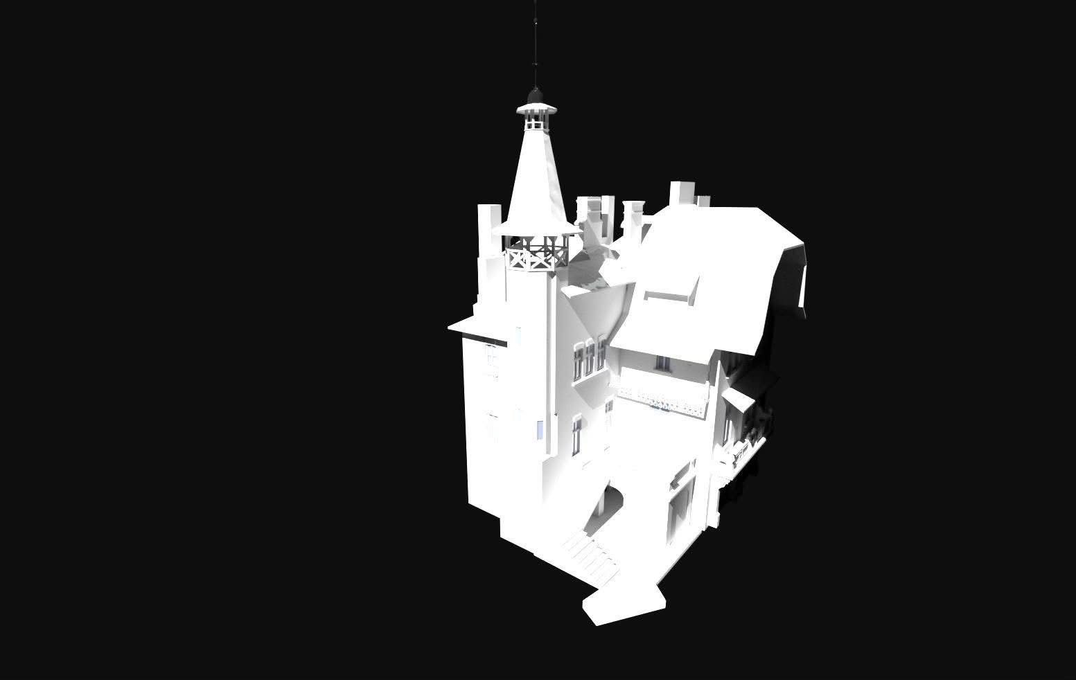
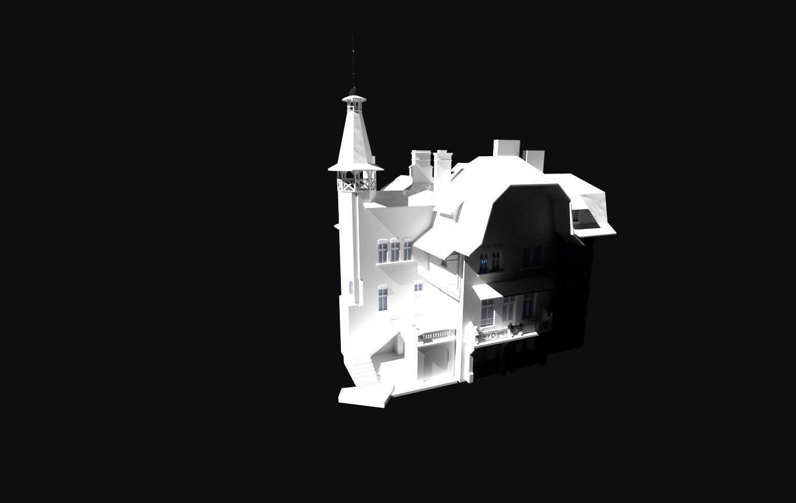
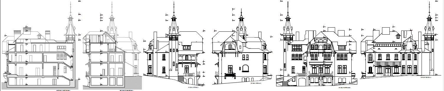
- Deliverables: 3D model, sections, elevations, topographic plan
- Purpose: restoration and conservation
Restoration starts with the real geometry
Archive drawings describe the original intent. The existing building keeps deformations, deviations and successive interventions. For Cantacuzino Villa, the aim was to create a common technical base for the architect, the structural engineer and the surveyor.
One day on site, interior and exterior
The 3D Discovery team carried out laser scanning with a Riegl VZ-400i and a GNSS survey of the site. The point cloud brought the building, the terrain and its surroundings into one coherent system.
Documentation taken from reality
Measured sections and elevations make it possible to check levels, alignments and spatial relationships before design.
Fewer unknowns before the intervention
3D scanning does not replace the designers' expertise. It gives them the same verified base and reduces return visits, repeated measurements and corrections during design. Read the full analysis on the blog →
Project gallery
3D model, massing and drawings extracted from the point cloud. Click an image to enlarge.
Frequently asked questions
How long did the 3D scan of Cantacuzino Villa take?
One day on site, inside and out, with a Riegl VZ-400i laser scanner and a GNSS survey of the site.
What deliverables did the design team receive?
3D model, sections, elevations and topographic plan, all from the same point cloud.
Why are archive drawings not enough?
Archive drawings describe the original intent. The existing building has deformations, deviations and successive interventions that only a current survey captures.
Who uses the documentation?
The architect, the structural engineer and the surveyor, all working on the same verified technical base.
Have a historic building to document?
Send us a few photos, the location and the approximate floor area. Within 24 working hours we tell you how we would document it, what we deliver and what it costs. Indicative ranges on the pricing page.
Describe your project →