
3DD Spatial Reality™ brings 360° imagery, 3D reconstruction, GIS data and, when the project requires it, geometry measured with LiDAR and surveying into one visual environment.
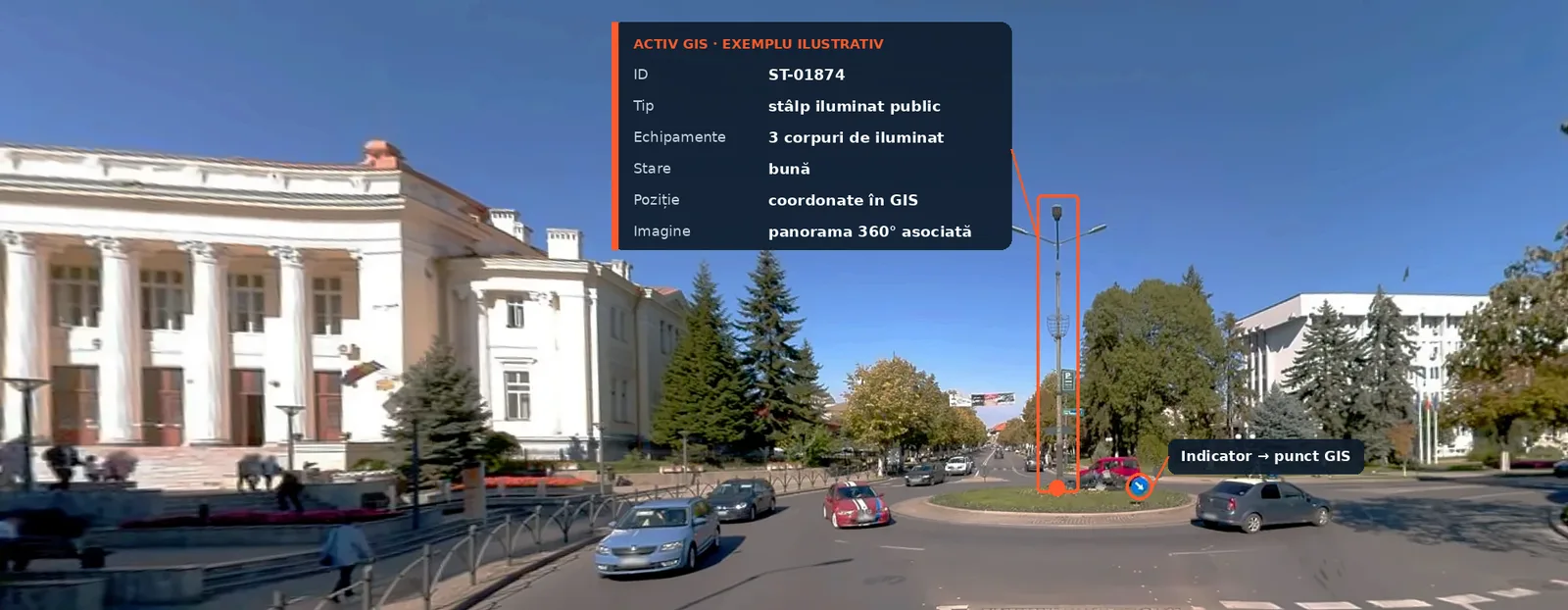
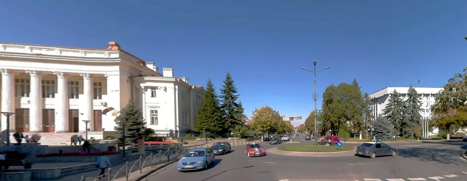
Brașov demo: a route captured with Mosaic X, viewed in the browser in 3DD Spatial Reality™.
Field data should not stay locked in files. It should be accessible.
On an infrastructure project, field information usually ends up in different places: panoramas in one folder, point clouds on a hard drive, GIS layers in a QGIS project, DWG drawings with the designer, phone photos on WhatsApp.
Every new question about the site (which pole is there, how wide is the street, where is the manhole) means searching through files or another site visit.
3DD Spatial Reality™ organises field data in one place, accessible from the browser with nothing to install. Users browse the real route, street frontages and field assets and relate them to GIS information.
Georeferenced panoramas along the whole route, captured with Mosaic X. You move down the street as if you were there.
3D reconstruction of the route or area, for spatial context and navigation.
Assets, layers and attributes on the map: poles, signs, manholes, boundaries, networks.
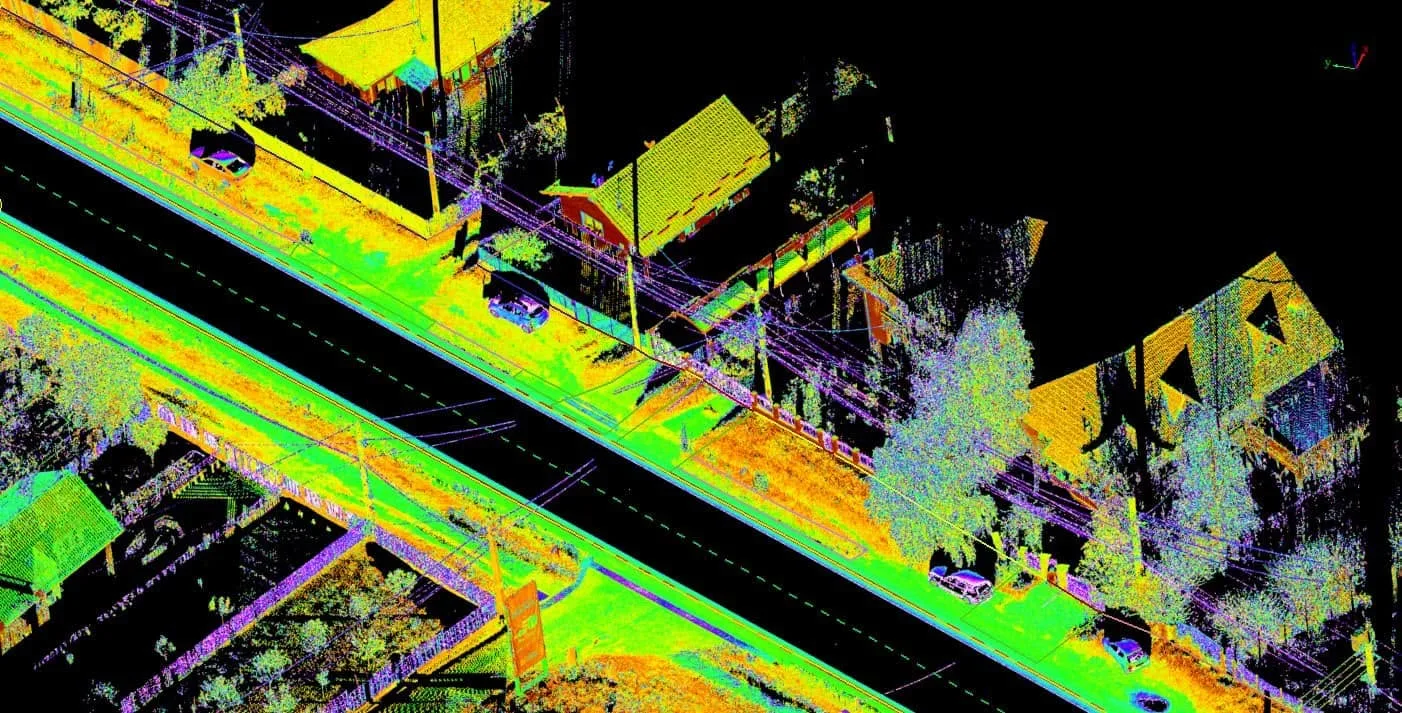
When the project requires it: point clouds and measured plans with controlled accuracy, in Stereo 70.
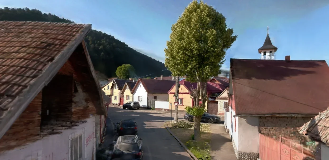
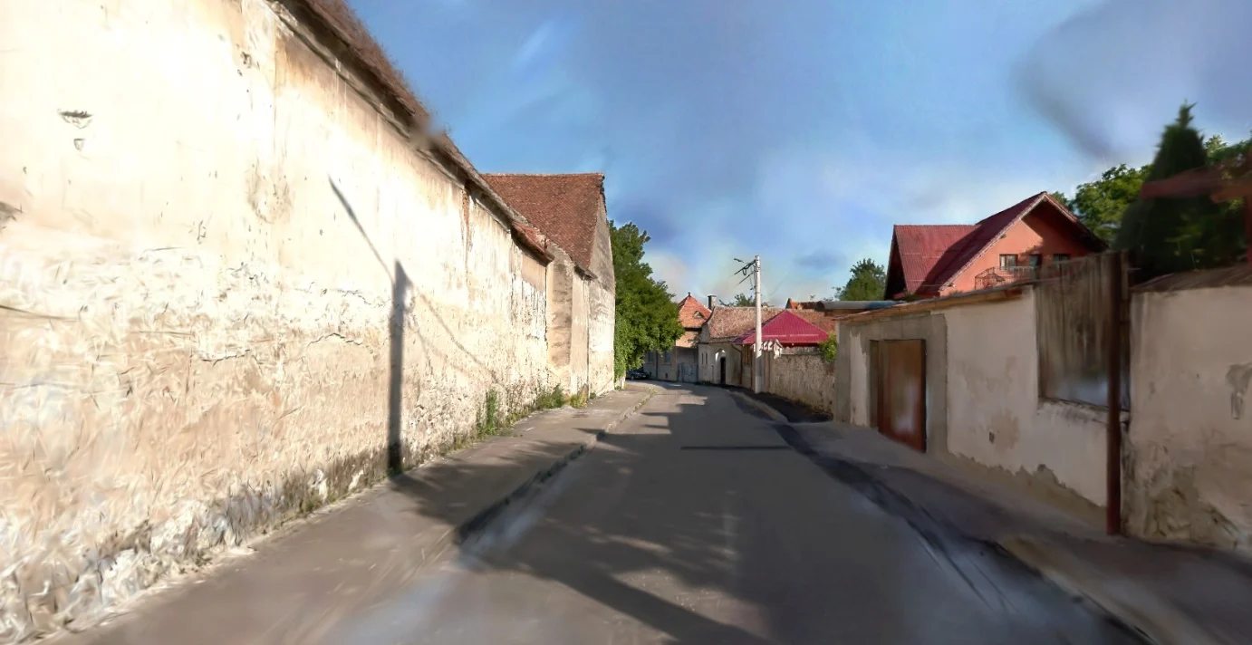
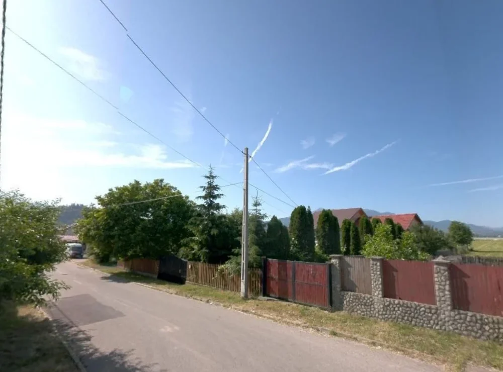
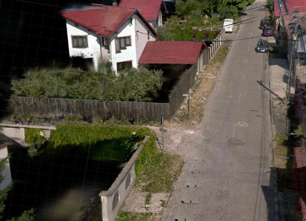
Asset inventory, street condition, urban planning.
A georeferenced visual base for analysis and zoning plans.
Routes, poles and access points checked before design.
Networks and manholes documented along the whole route.
Road condition, signs and safety elements.
The real context of the route, available at any time from the office.
3DD Spatial Reality™ does not replace topographic surveys. The visual component provides context and navigation. When measurements and controlled geometry are needed, we use LiDAR and surveying, and they are added to the same environment.
See also: LiDAR mobile mapping · infrastructure projects.
Mosaic X for 360° imagery and, when needed, mobile LiDAR or terrestrial scanning.
Georeferencing, blurring of people and number plates, 3D reconstruction.
Assets, GIS layers and measurements linked to their real position.
Accounts for the client, designer and teams. Open it in the browser, nothing to install.
A browser-based visual environment that brings together 360° imagery, 3D representation, GIS data and, when needed, LiDAR and survey measurements for roads, towns and networks.
No. The visual component provides context and navigation. For design and permitting, geometry is measured with LiDAR and surveying, and plans are delivered separately.
No. It opens in the browser on a computer or tablet, with an access account.
Only the people the client chooses: its own team, the designer, field teams. Each client sees only its own projects.
Open 3DD Spatial Reality™ and request demo access. You receive the demo project access by email. Or message us on WhatsApp and we will walk you through it.
Tell us the project type and approximate length. We will show you the demo and tell you which capture combination makes sense.