
LiDAR mobile mapping.
100 km of road in 2 days.
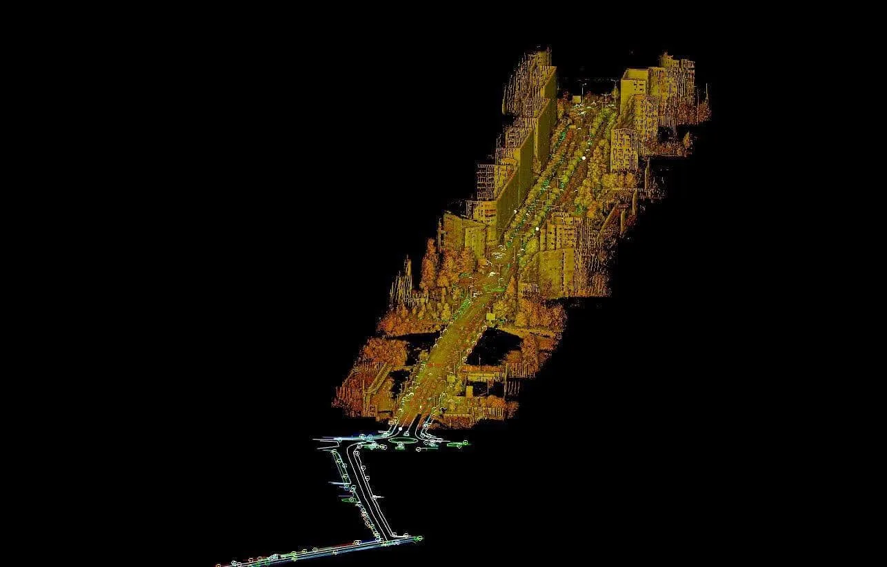
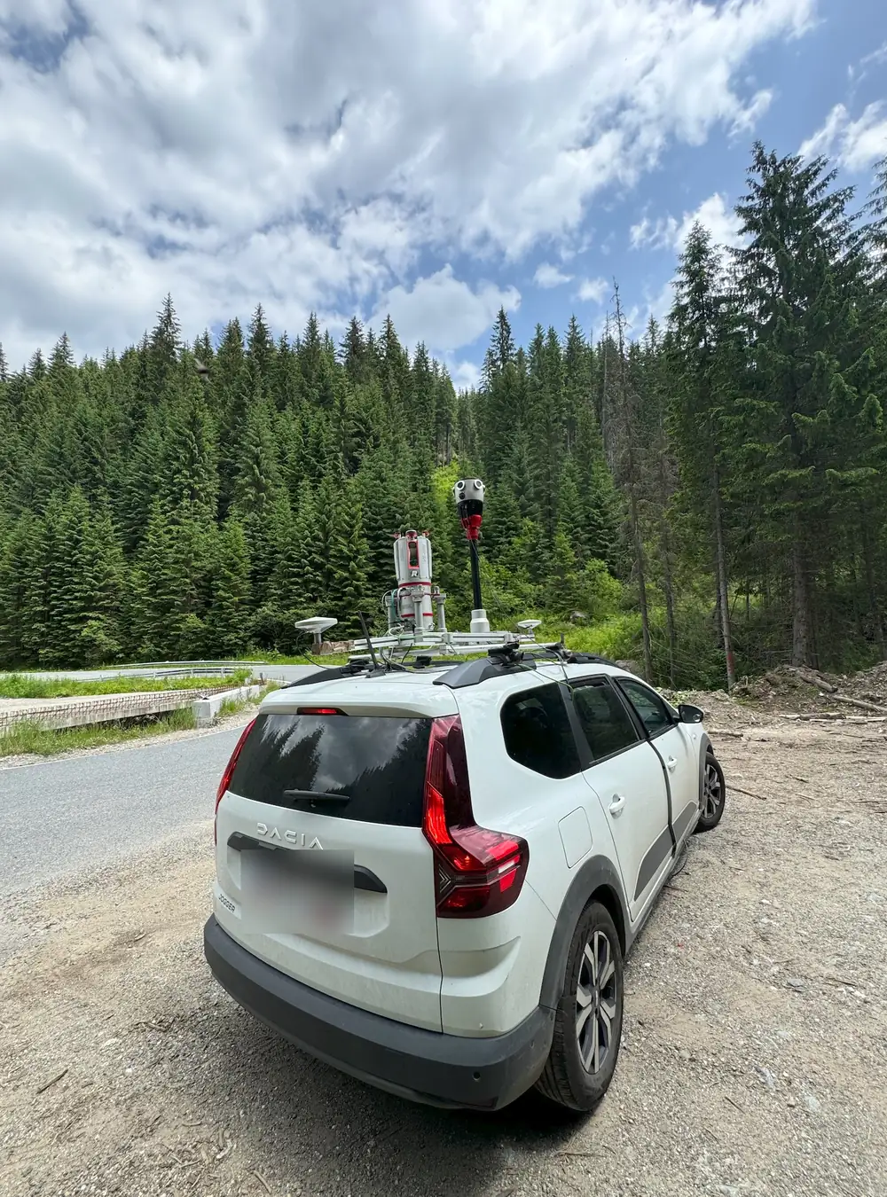
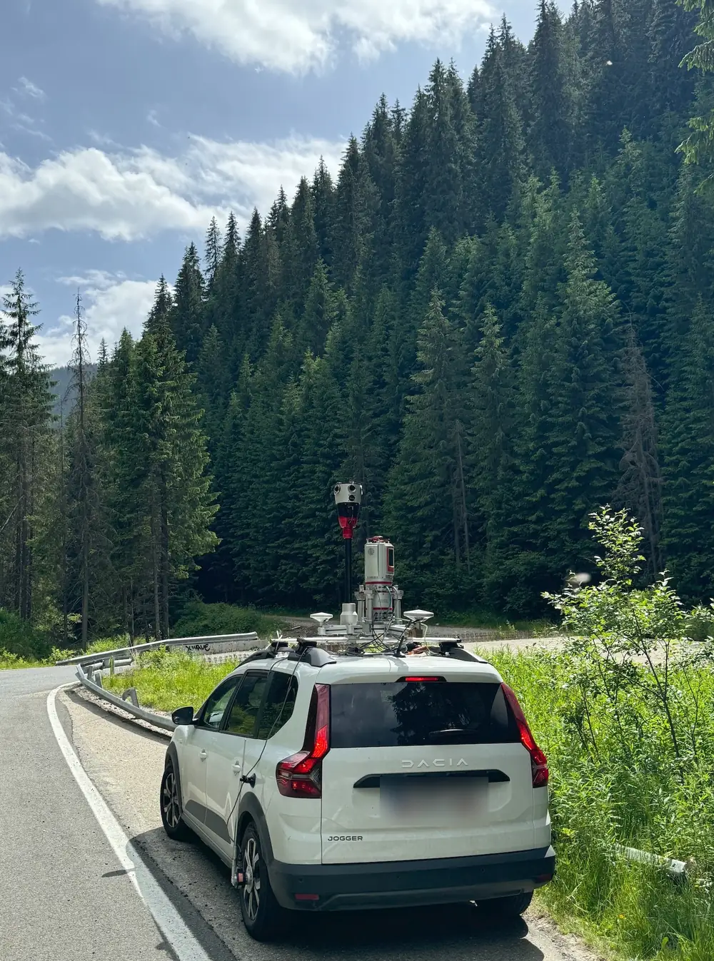
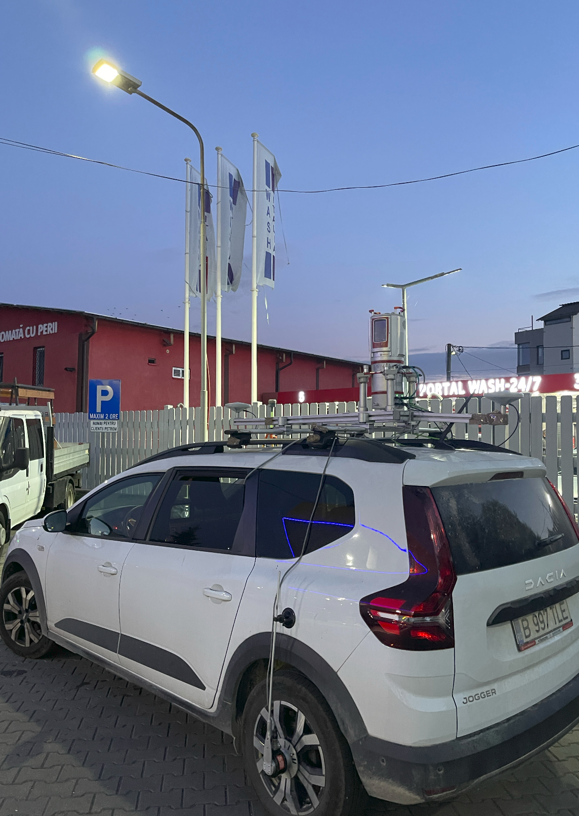
The vehicle-mounted Riegl VMZ-400i system measures the road corridor on the move. Where detail is needed (bridges, underpasses, slopes) we add terrestrial laser scanning in the same coordinate system.
A long road is not measured point by point.
Over dozens of kilometres, a conventional topographic survey means weeks on site, crews in traffic and sparse points. Mobile mapping continuously captures the carriageway, verges, ditches, barriers, overhead lines and roadside fronts from a moving vehicle.
Vehicle for the corridor. Terrestrial scanning for detail.
The Riegl VMZ-400i captures the georeferenced road corridor. In areas that need higher density (bridges, underpasses, complex junctions) we add terrestrial laser scanning and survey measurements. All data ends up in a single point cloud, in the same coordinate system. So far we have measured more than 2,000 km of roads with mobile mapping, from local roads to national roads.
Output reaches 60–80 km a day, depending on traffic, GNSS reception and the point density the project requires.
When to choose static scanning and when vehicle mobile mapping: the full comparison →
Project sheet
| System | Riegl VMZ-400i, LiDAR mobile mapping |
|---|---|
| Supplemented by | terrestrial laser scanning, GNSS, total station |
| Output | up to 60–80 km/day, depending on traffic, GNSS and density |
| Reference | DJ 607B: 100 km in 2 days + 1 day for bridges |
| Experience | more than 2,000 km of roads measured with mobile mapping, from local to national roads; more than 1,000 km captured for GIS with Mosaic X |
| Coordinates | Stereo 70 |
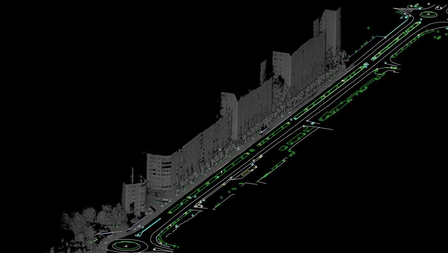
| Deliverables | georeferenced point cloud, topographic plan, long and cross sections, sections |
Examples of work.
County and national roads, slopes and entire towns, measured for modernisation projects.
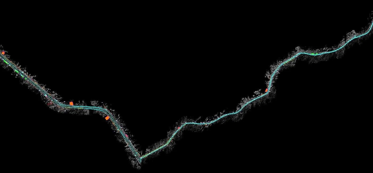
DN 7A Brezoi – Obârșia Lotrului.
Two days on site.
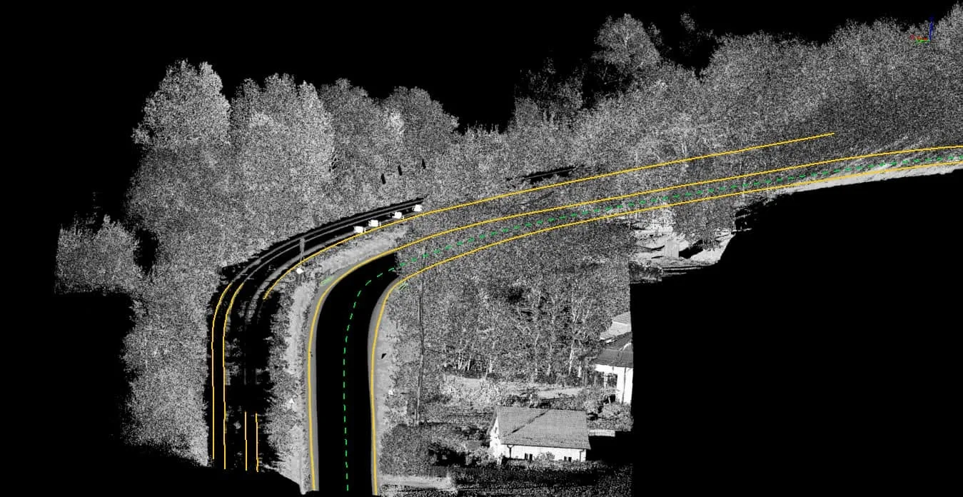
A mountain route with hairpin bends, retaining walls and wooded slopes. We combined mobile scanning with terrestrial scanning at points the vehicle cannot fully see and delivered the complete topographic plan for the road modernisation.
In parallel, the Mosaic X 360° camera captured a private panoramic tour of the whole route. The design team uses it from the office, alongside the point cloud, to analyse the road without losing information and without return visits.
Public examples of Mosaic X panoramic captures: our 360° tours on Mapillary ↗.
How 360° panoramas are used in GIS and asset inventory →
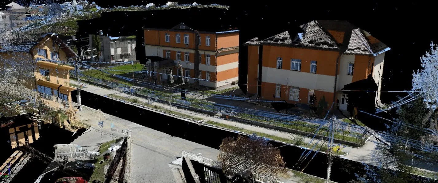
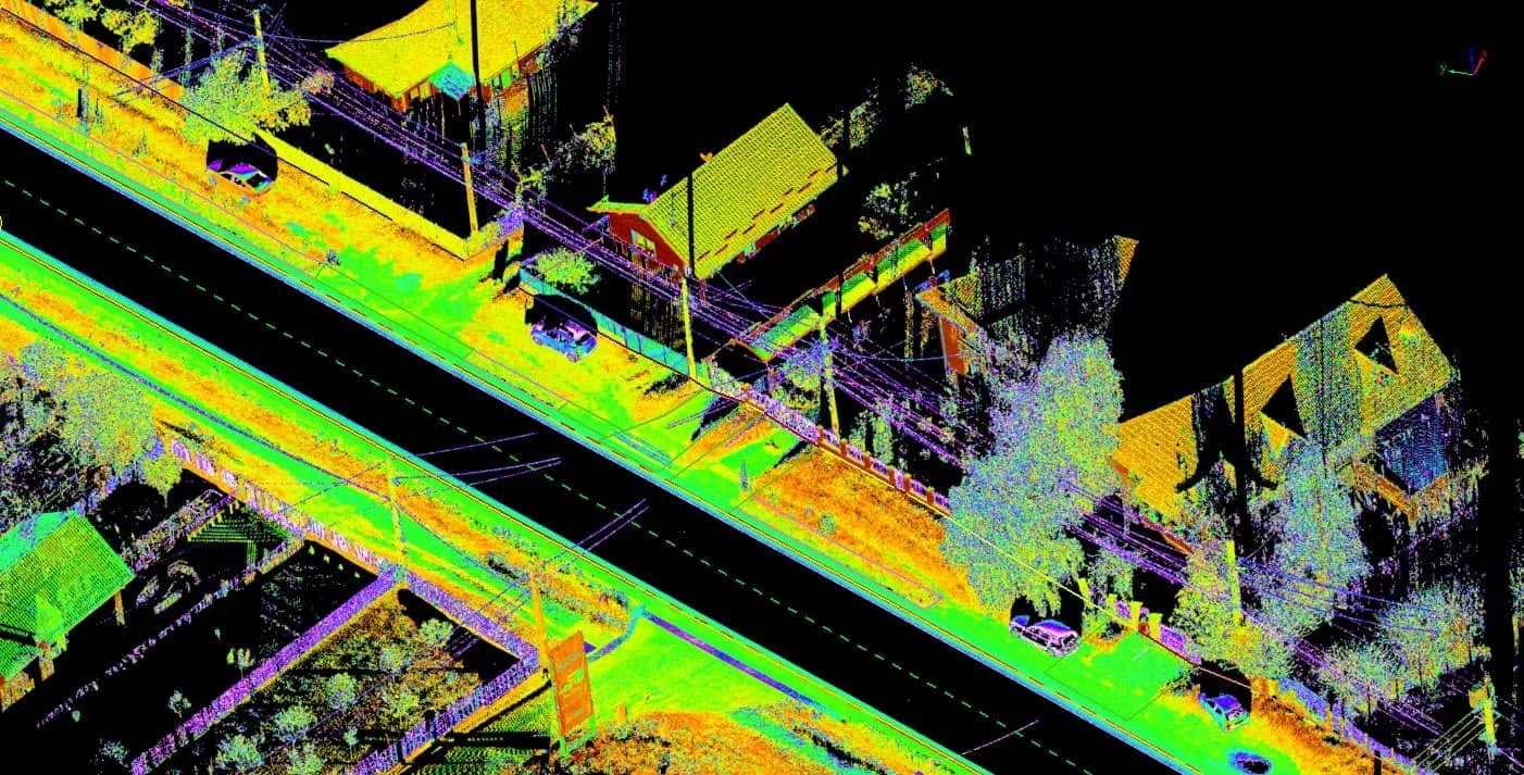
From the point cloud to drawings.
Examples from our mobile mapping and terrestrial scanning work. Click an image to enlarge.
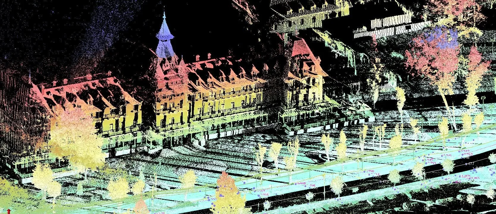
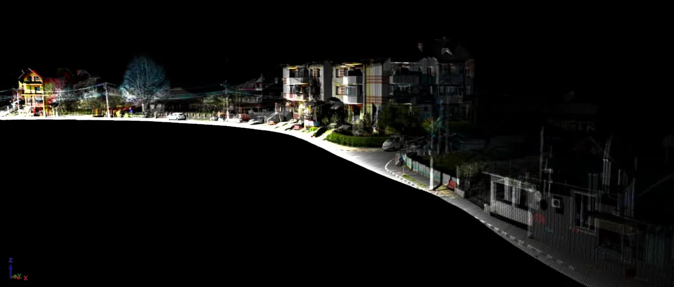
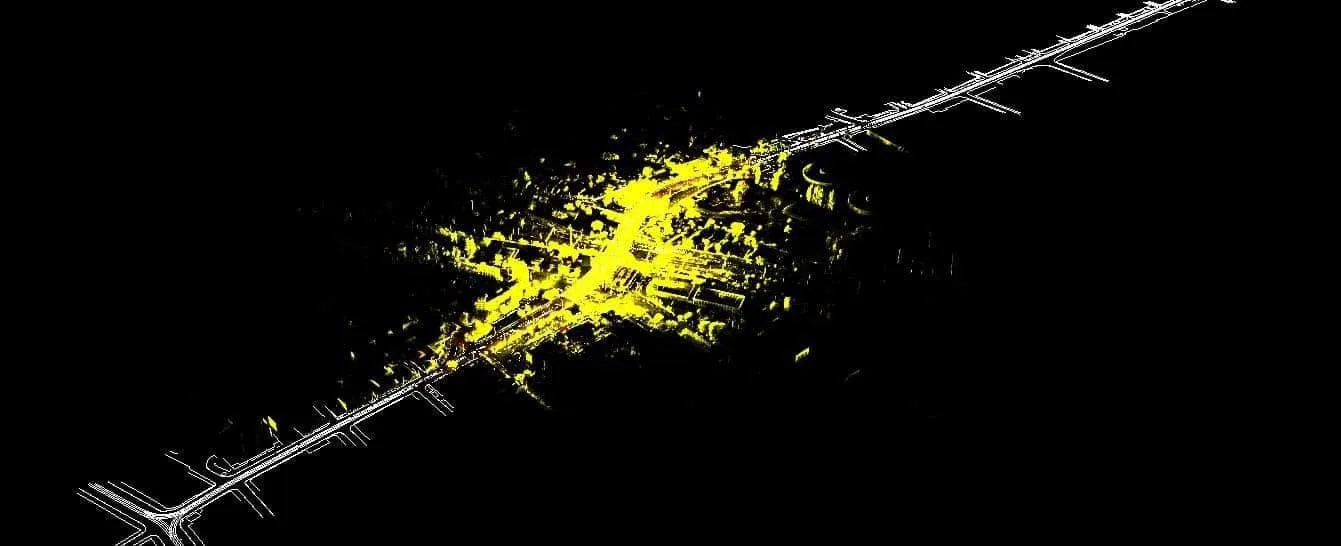
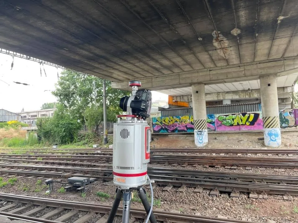
One site campaign, many uses.
Profiles, sections or feature inventories can be extracted later from the same point cloud, without another site visit.
An example documented in detail: more than 40 km of roads measured in Râmnicu Vâlcea, for cycle lanes, bridges and underpasses.
For construction sites — setting out, monitoring, as-built and quantities — see construction surveying on site.
Frequently asked questions
What experience do you have in measuring roads?
More than 2,000 km of roads measured with mobile mapping, from local roads to national roads, for modernisation projects. Separately, more than 1,000 km captured for GIS with Mosaic X panoramic cameras.
How many kilometres a day can mobile mapping measure?
Up to 60–80 km a day, depending on traffic, GNSS reception and the point density required. On DJ 607B we measured 100 km in 2 days.
What deliverables result?
A georeferenced point cloud, a topographic plan in Stereo 70, long and cross sections and sections, according to the designer’s brief.
When do you combine mobile mapping with terrestrial scanning?
At bridges, underpasses, complex junctions or slopes, where higher density is needed. On DJ 607B we added a day of terrestrial scanning for the bridges along the route.
How is it different from Mosaic X panoramic captures?
Mosaic X records georeferenced 360° panoramic images for GIS and visual inventory; we have captured more than 1,000 km this way. The geometric measurements for design come from LiDAR.
What kinds of projects is it used for?
Road modernisation, slope analysis, utility networks and urban topographic surveys.
Have a road or a town to measure?
Send us the route (kilometres, towns) and the purpose of the project. We reply within 24 working hours. We agree the method, deliverables, deadline and quote once the project details are clear. Indicative ranges on the pricing page.
Discuss the project →