
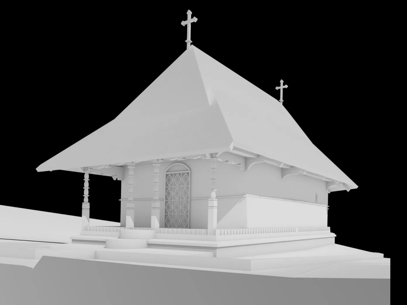
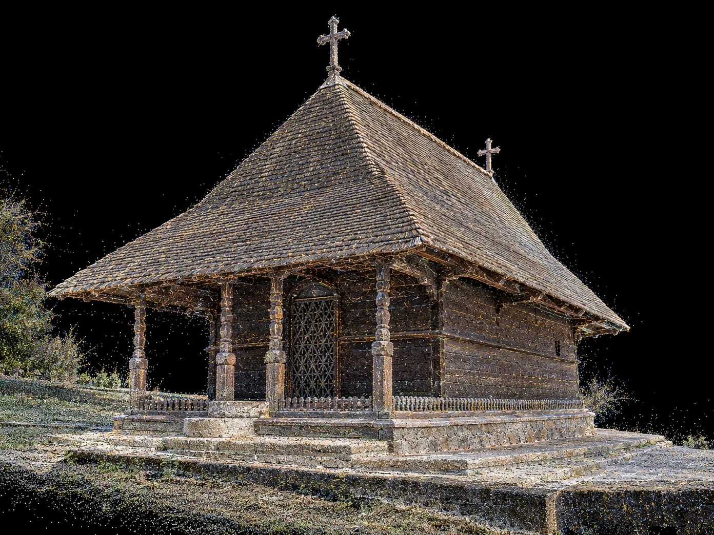
Wooden church, Dintr-un Lemn Monastery · point cloud and 3D model
Drag the bar: the same geometry, from scan to model
Clients


Monuments we have documented
Projects
Monuments we have measured.
What we found on site and what we handed to the design team.

Arutela Roman fort
Archaeological site · 3D laser scanning for conservation and research
Case study →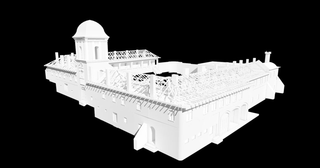
Frăsinei Monastery
Religious heritage · 3D laser scanning and measured survey before restoration
Case study →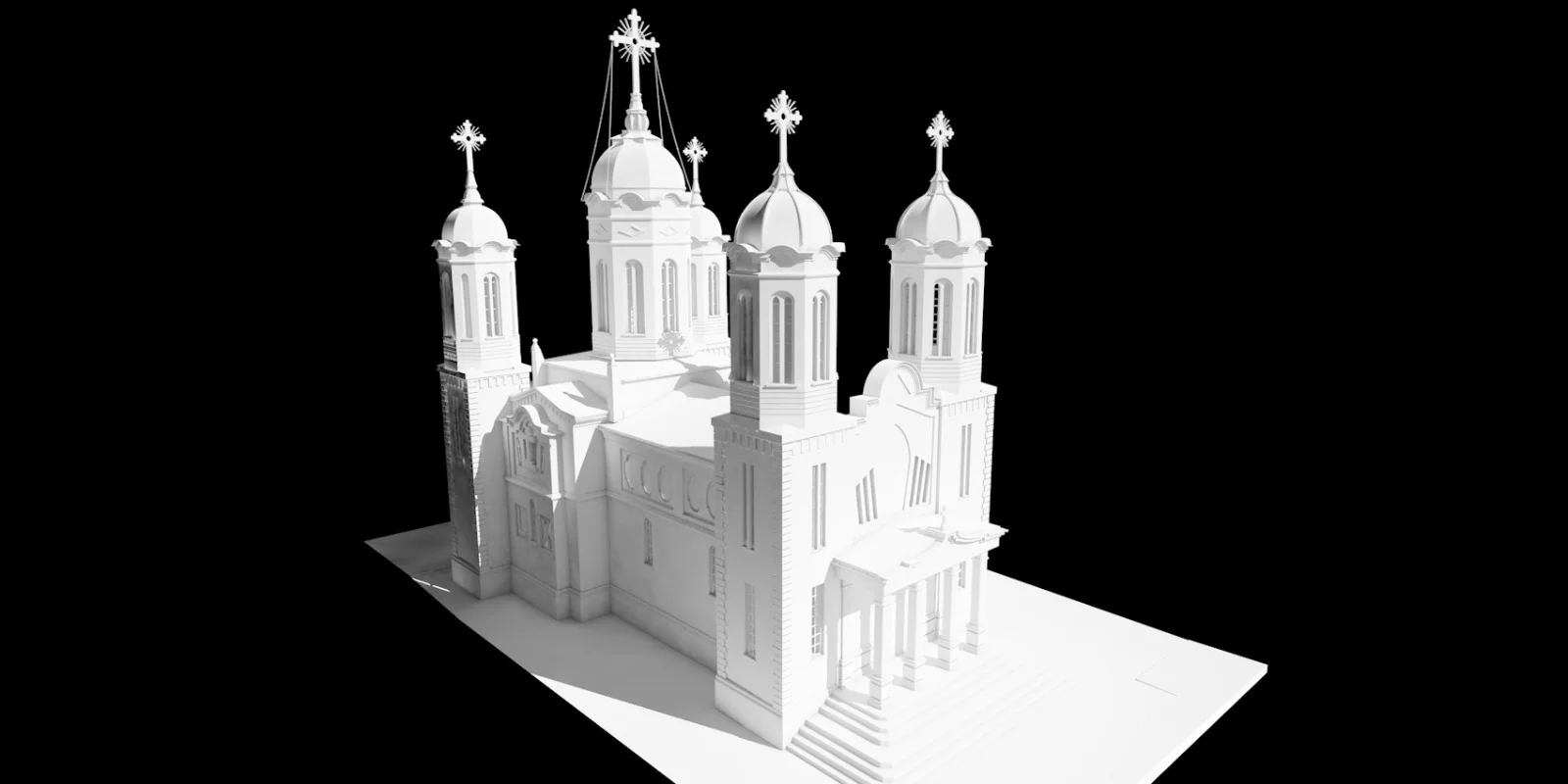
St. John the Baptist Cathedral, Ploiești
Colour point cloud · 3D model
Case study →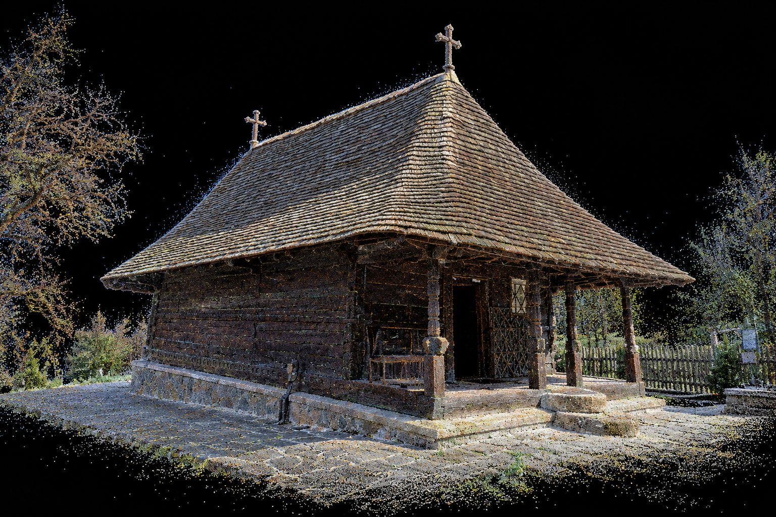
Dintr-un Lemn Monastery
Colour point cloud · 16 drawings at 1:50
Case study →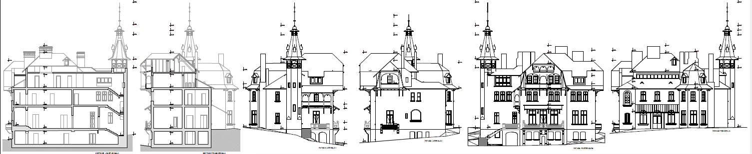
Cantacuzino Villa, Călimănești
Sections · elevations · 3D model
Case study →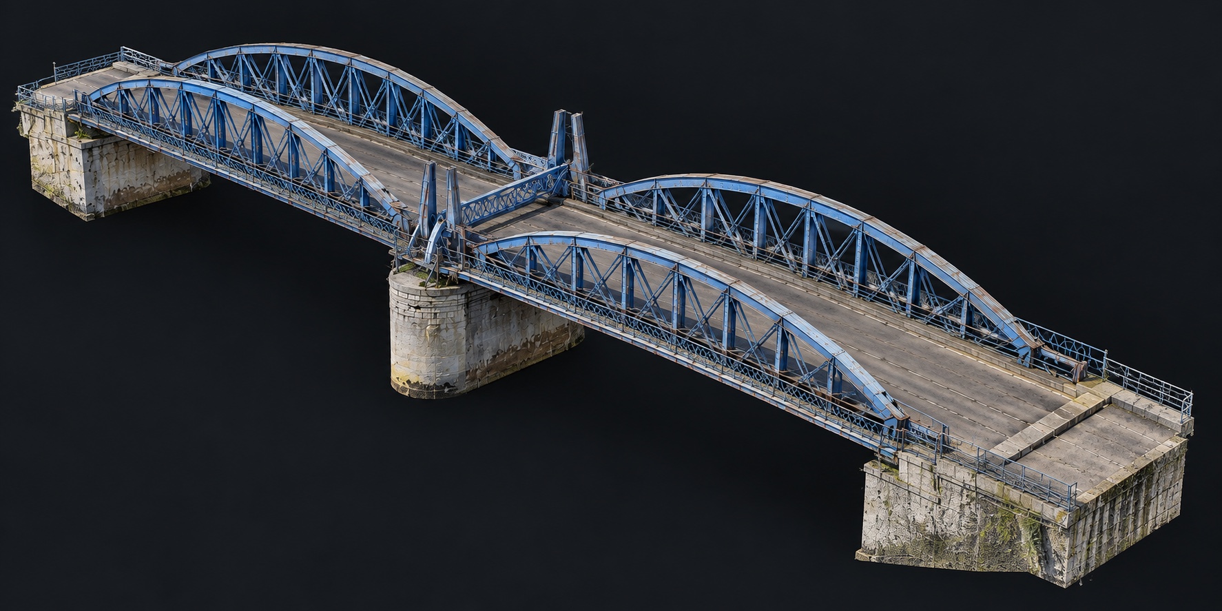
Bizetz Bridge, Giurgiu
Engineering monument · 3D laser scanning for restoration
Case study →What we do
We measure the monument as it is.
Vaults, deviations, ornament, walls that are not plumb. We document them on the existing geometry. Diagnosis and the restoration solution stay with the certified specialists.
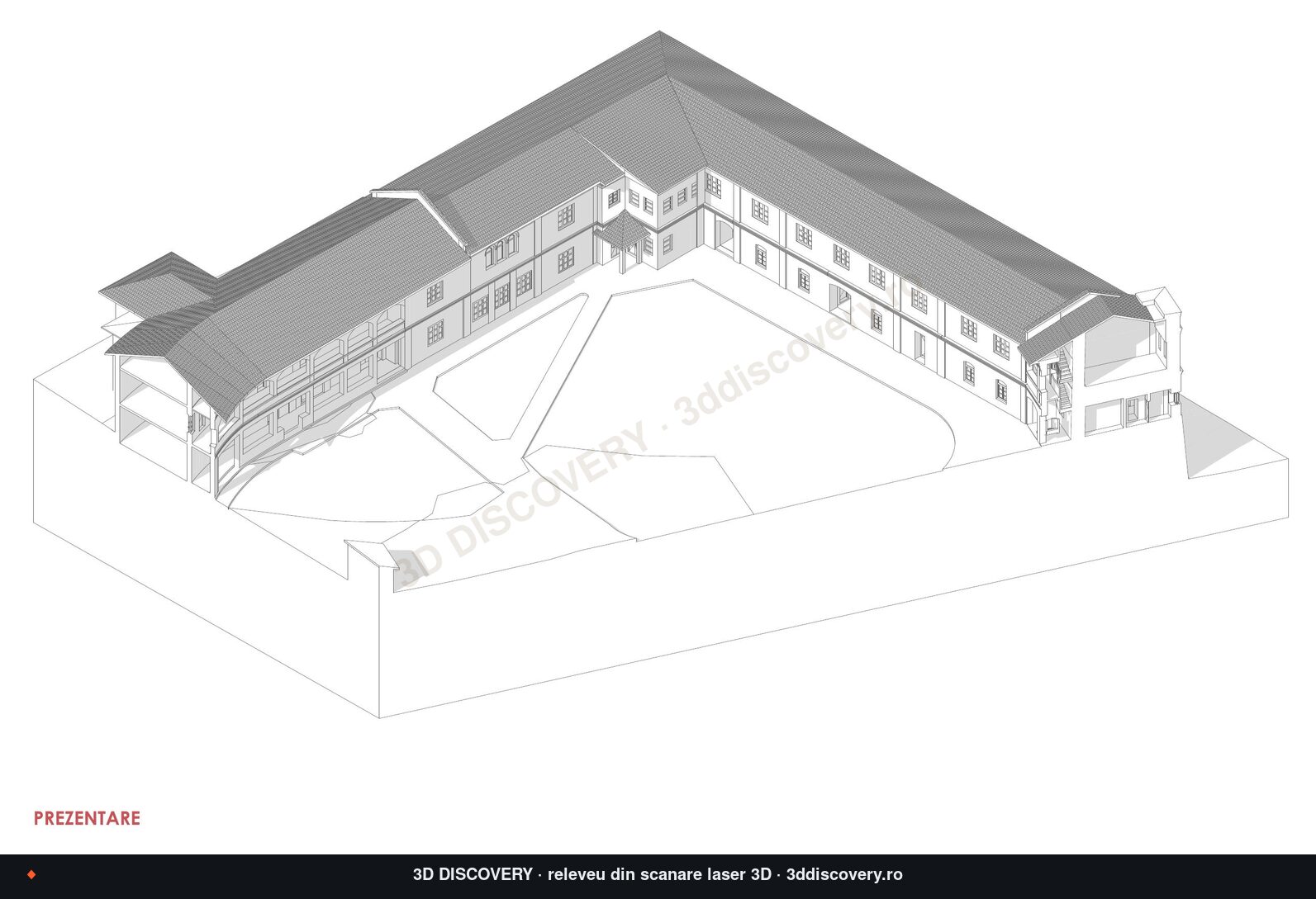
Monuments and heritage
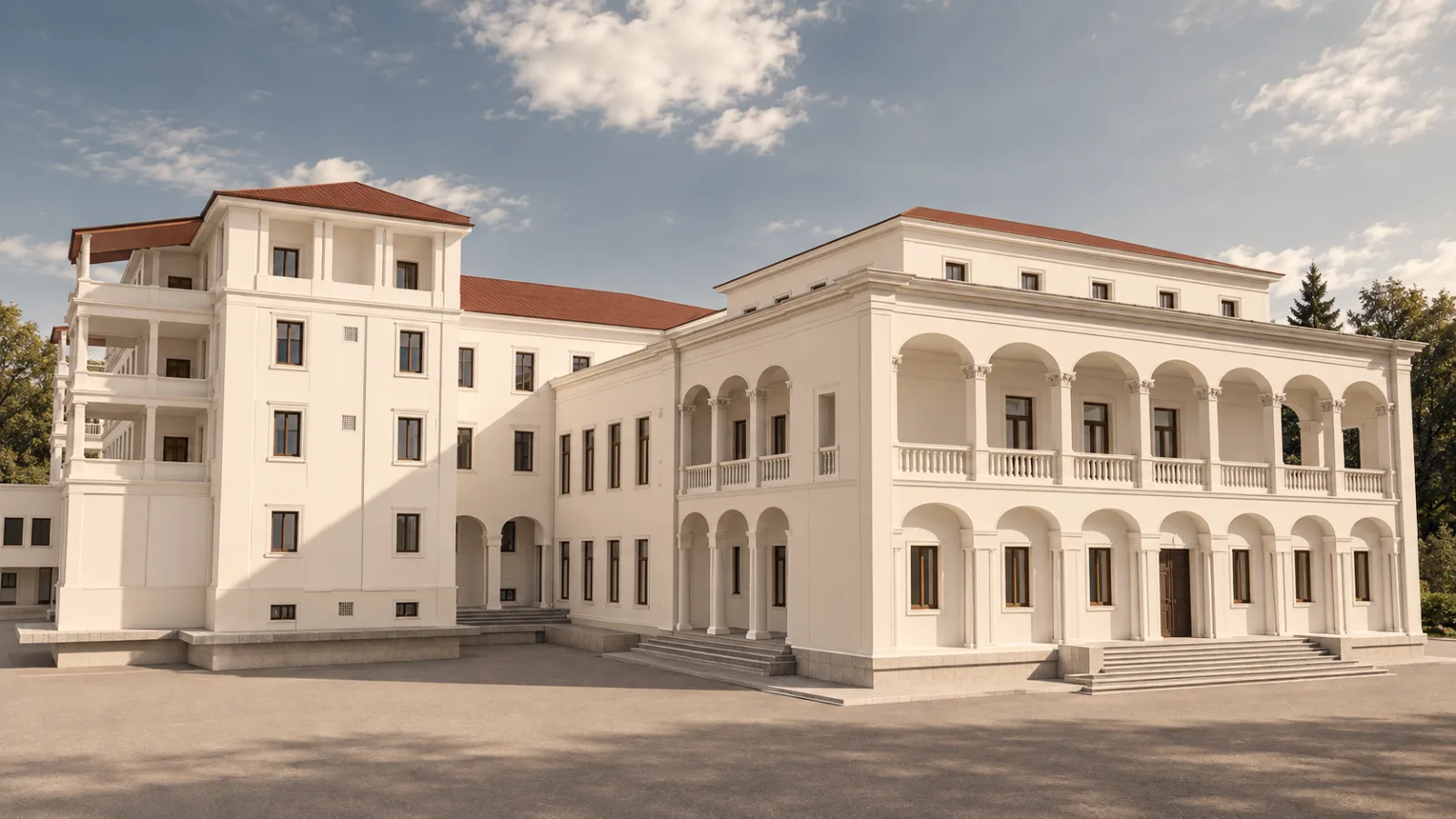
Measured surveys, façade orthophotos, unrolled elevations and HBIM for restoration projects.
- 20+ monuments documented
- Drawn directly on the point cloud
Existing buildings
Measured survey and BIM model for strengthening, renovation and work on existing buildings.
- ArchiCAD, Revit, IFC
- E57 point cloud on request
Infrastructure
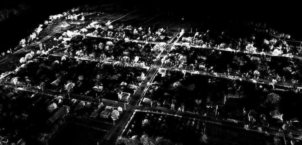
Mobile mapping, surveying and UAV photogrammetry for roads, utilities and towns.
- 1,500+ km surveyed
- 1:500 topographic plans
For cadastre and land surveying in Vâlcea: Cadastre Vâlcea →
How we work
Profesioniști. Termene respectate, comunicare bună și livrabile de calitate, atât pe partea de topografie, cât și pe scanare 3D. O recomandare sinceră pentru cine are nevoie de măsurători precise.
Răzvan Vergu Recenzie Google, septembrie 2026