
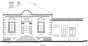
Works on existing buildings under CATUC: permit or notification — either way, design starts from the existing conditions
What art. 282 and art. 294 of Law 169/2026 (CATUC) provide for works on existing buildings — intervention permit or notification — and why design starts from the existing conditions. A guide for architects.
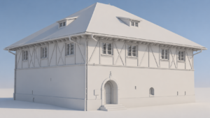
Zamfira Manor: from 3D laser scanning to measured survey and digital model
How the point cloud of Zamfira Manor becomes a 3D model and measured plans, sections and elevations: what each form shows and how it is used in restoration.
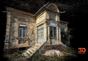
The 2026–2027 regularisation permit: what architects need to know about documenting existing conditions
What the regularisation permit under Law 169/2026 (CATUC, art. 301) involves and how to document the real condition of an existing building — cadastre, topography, measured survey. A guide for architects.
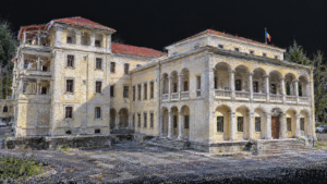
3D scanning for hospitals and public buildings: how to document 14,000 sqm
How we documented the Elias rehabilitation ward in Băile Olănești by 3D laser scanning: 14,000 sqm, 7 days on site, a single existing-conditions model.
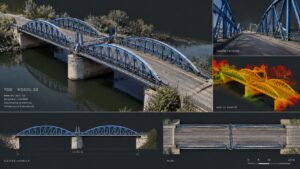
Bizetz Bridge in Giurgiu: 3D laser scanning for restoring an engineering monument
How do you document a historic bridge without reducing a complex structure to a few hand-measured dimensions? At Bizetz Bridge
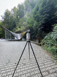
Building and sloping terrain in a single 3D model: laser scanning and land surveying
In short: when a building sits on sloping ground, next to water or between wooded slopes, the building and the