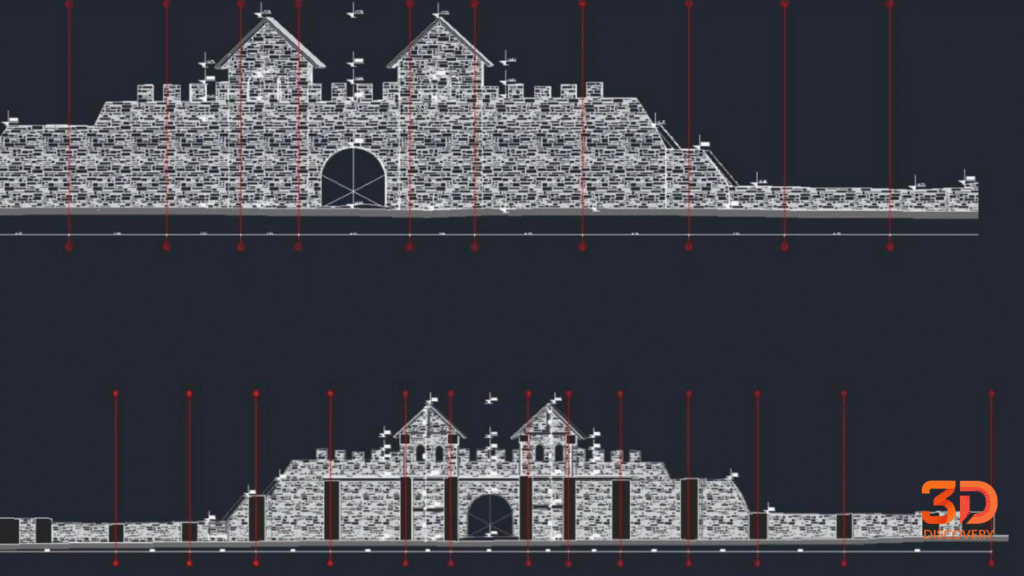
3D scanning of the Arutela Roman fort, in the Olt gorge between Căciulata and Bivolari, which documents the Roman presence in Oltenia. Since 2024 the fort has been part of the UNESCO site Frontiers of the Roman Empire – Dacia.
The aim of the project was a high-precision digital model enabling detailed documentation, conservation and analysis
Defining the area of interest and the best scanning strategy, ensuring access to the critical elements (façade, ornament, structure).
The 3D Discovery team used RIEGL VZ-400i laser scanning, known for its reliability and accuracy in documenting historic sites.
Cleaning, registering and harmonising the point cloud into a coherent digital model, ready for structural analysis and precise measurement.
Handing over the 3D model and resulting documentation to the architects and specialists, as the geometric reference for analysing and designing the intervention.
The Arutela Roman fort was built in the 2nd century AD, under Emperor Hadrian, as part of the Roman Empire's defensive system in Dacia. Its strategic position at the foot of the Carpathians, beside the Olt, served to watch and control the pass and to protect the Roman road linking the fort at Stolniceni with the one at Răcari. Today Arutela remains one of the most valuable records of the Roman presence in southern Romania, and digital documentation is an essential step in its long-term conservation.
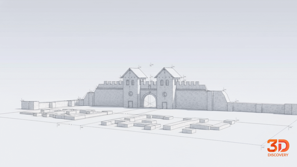
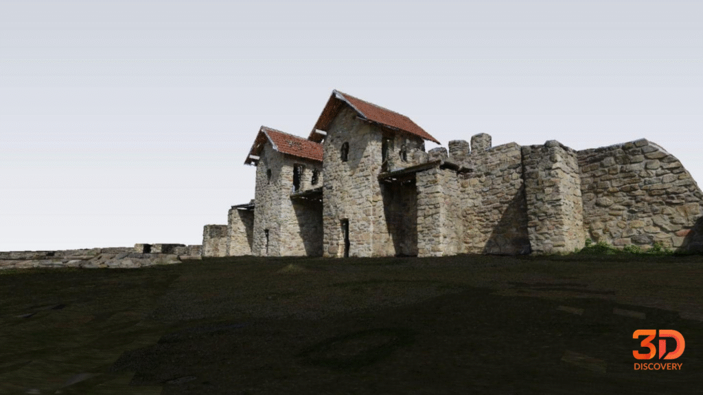
The 3D documentation of the Arutela Roman Fort created a geometric base for analysis, conservation and the design of future interventions.