
Amzei Market, Bucharest — integrated urban 3D documentation
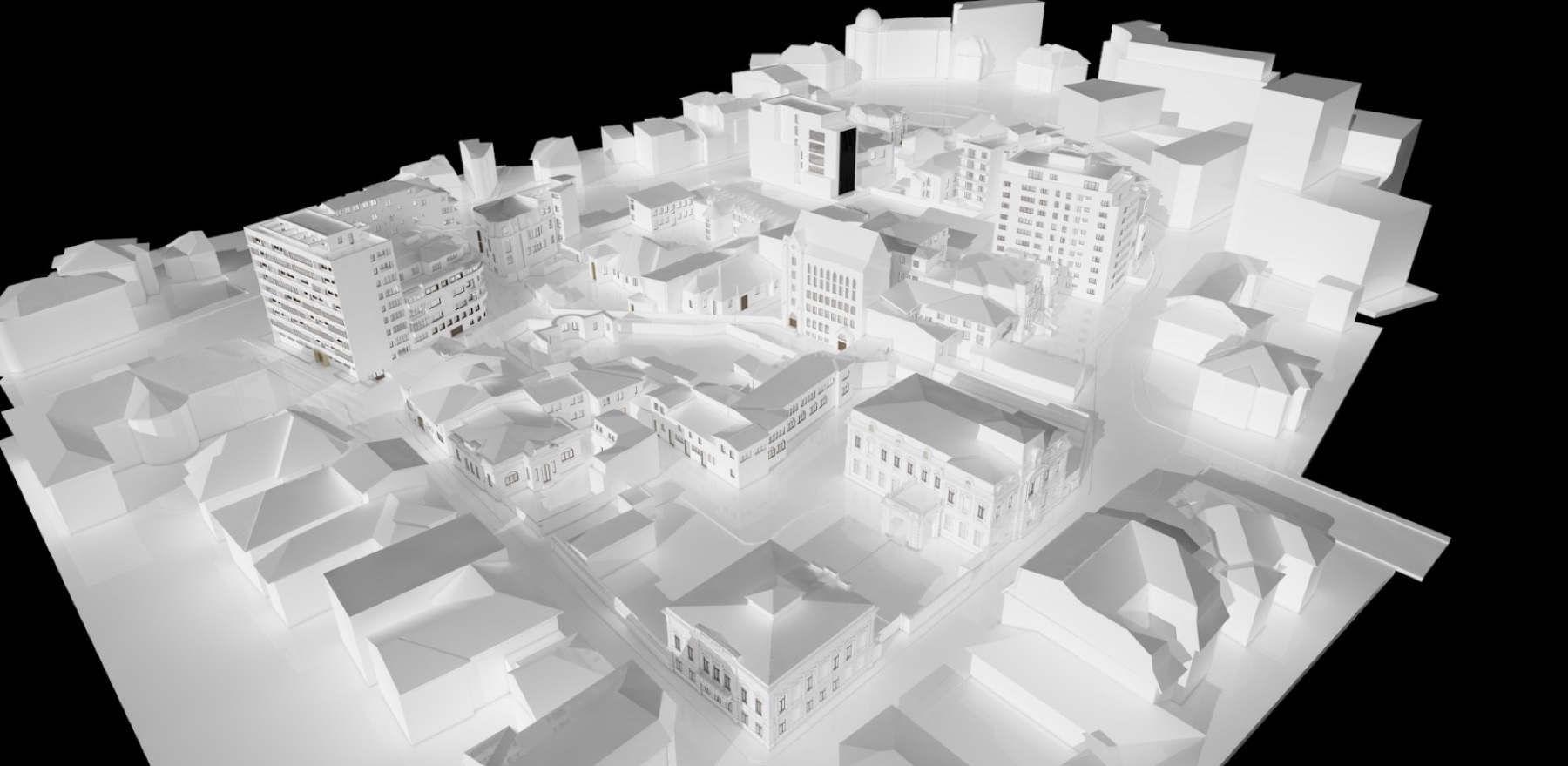
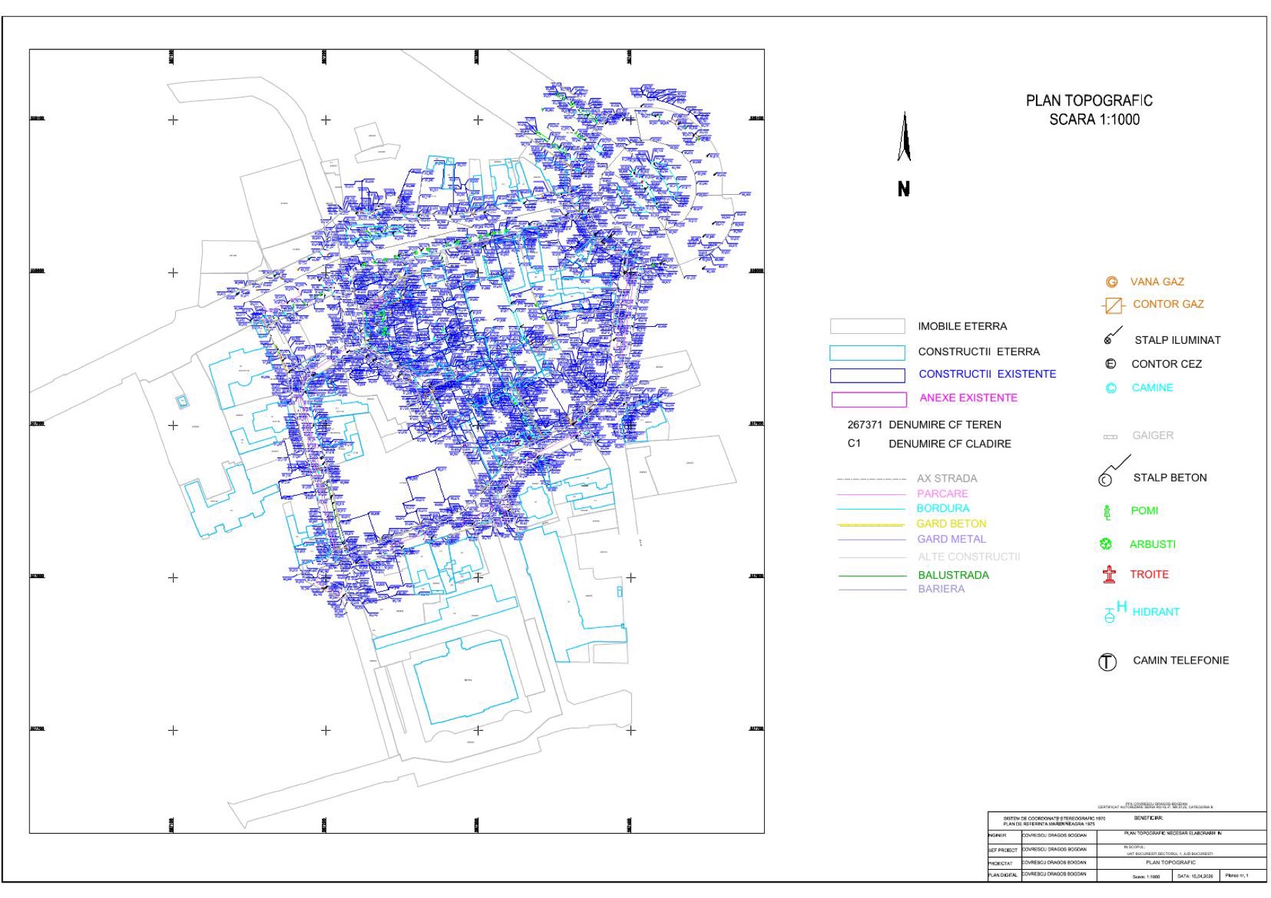
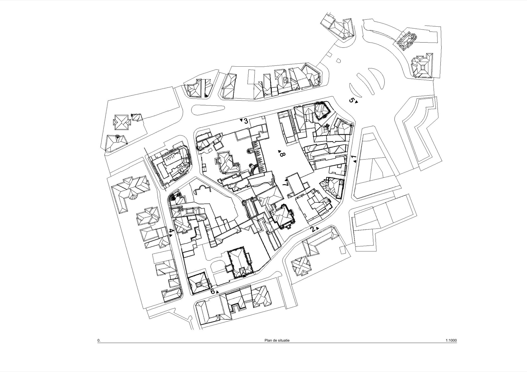
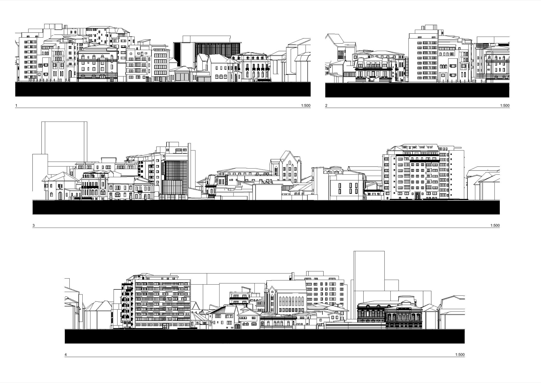
Terrestrial laser scanning, land surveying and UAV capture tied into a single base for design: zonal 3D model, orthophoto, topographic plan, site plan and street elevations.
In short
- Area: Amzei Market, Bucharest
- Methods: terrestrial laser scanning, land survey, UAV capture
- Schedule: 1 week on site, 1 week processing, 1 month plans and modelling
- Deliverables: zonal 3D model, topographic plan, orthophoto, 1:1000 site plan, 1:500 street elevations
- Year: 2026
A single source of truth for the whole site
An urban project needs a common base for the terrain, the buildings and the public space. We removed the differences between sources by documenting the whole Amzei Market area coherently.
Three technologies, one coordinated model
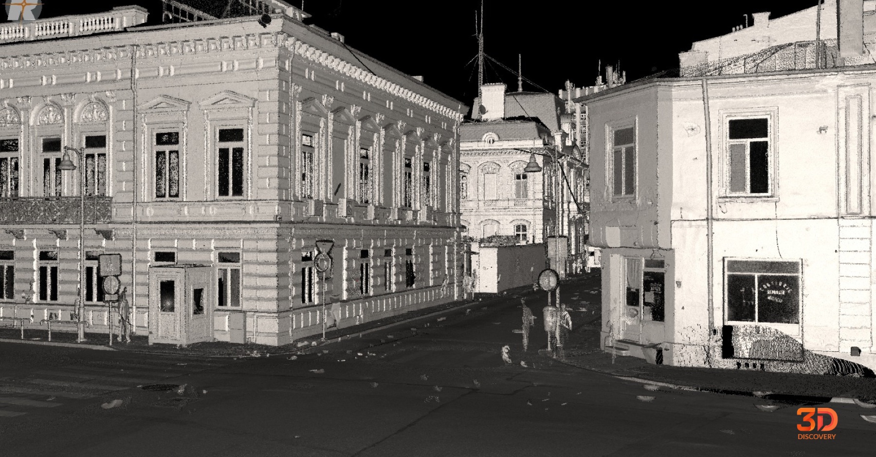
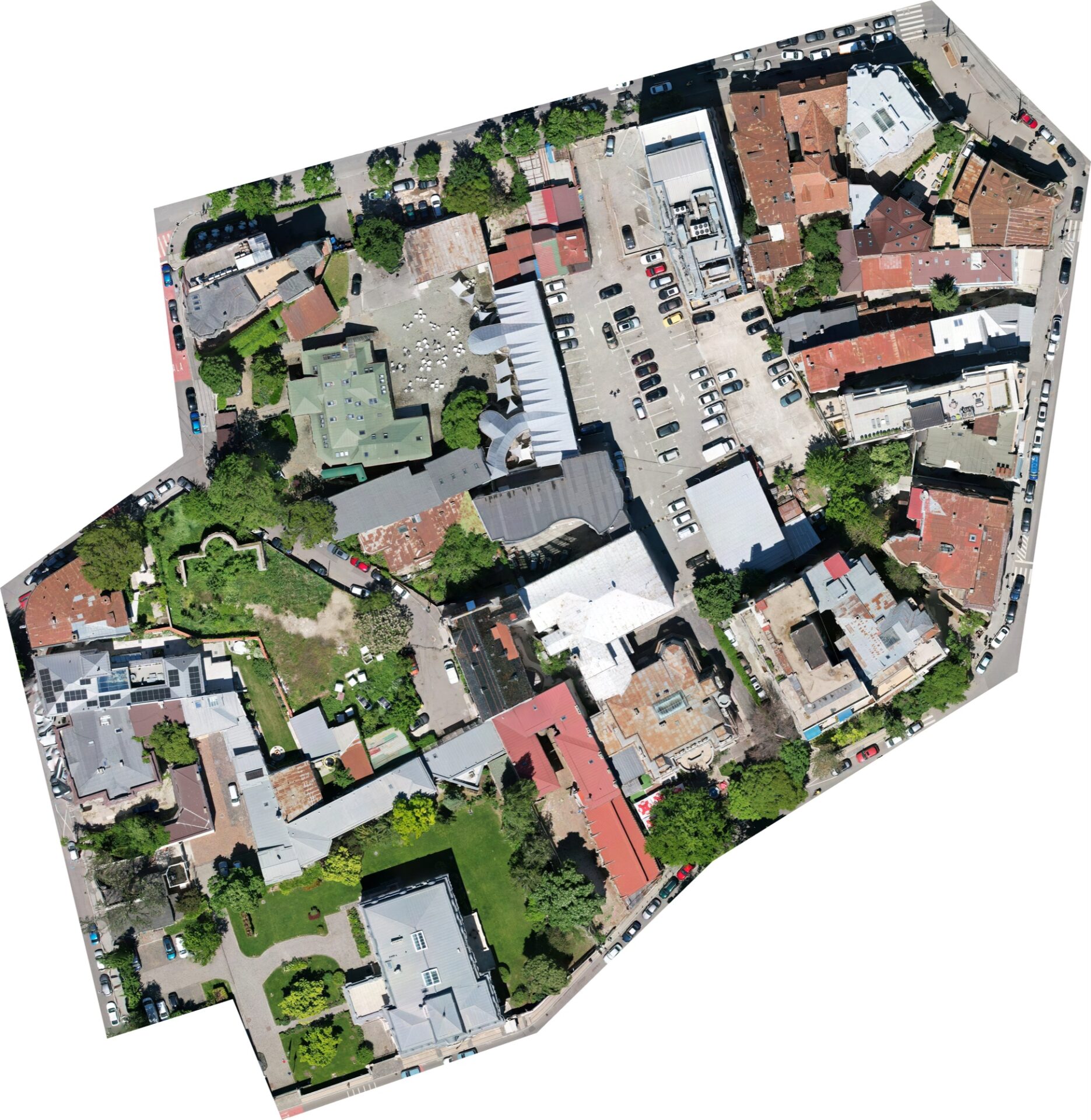
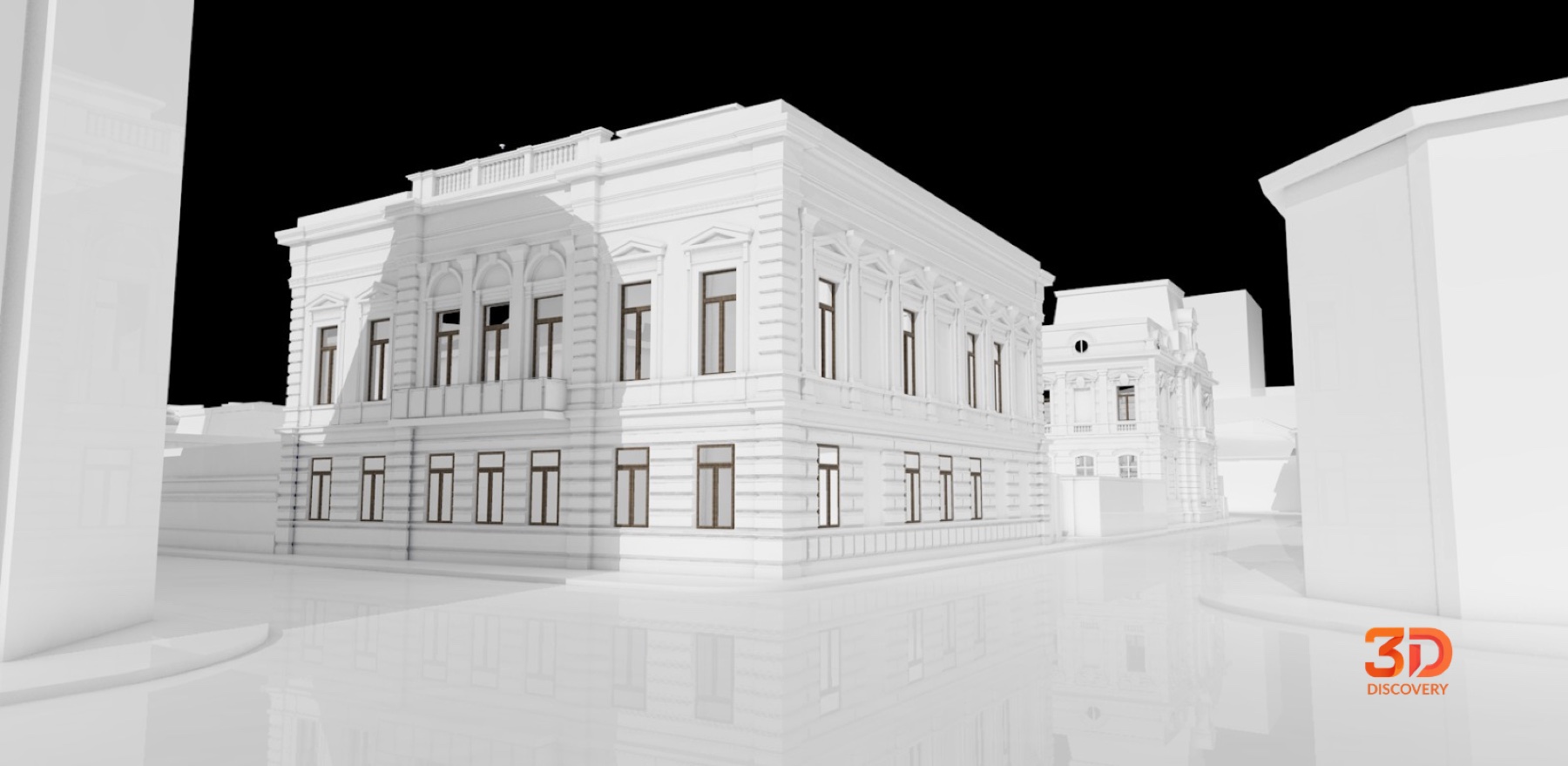
Terrestrial laser scanning, land surveying and aerial UAV capture were combined to produce the orthophoto, the urban 3D model and the architectural documentation.
Verifiable deliverables
The topographic plan, the 1:1000 site plan and the 1:500 street elevations are extracted from the same dataset, so they are consistent with one another.
Decisions based on verified geometry
Architects, urban planners and project coordinators work on the same representation of the existing condition. Terrain, roofs, volumes and street fronts can be analysed together.
Project gallery
Urban model, point cloud, orthophoto and drawings. Click an image to enlarge.
Frequently asked questions
How long did the 3D documentation of Amzei Market take?
One week of site capture, one week of data processing and one month for plans and modelling.
Which methods were combined?
Terrestrial laser scanning, land surveying and aerial UAV capture, tied into a single system.
What deliverables resulted?
Zonal 3D model, topographic plan, orthophoto, 1:1000 site plan and 1:500 street elevations.
Who benefits from integrated urban documentation?
Architects, urban planners and project coordinators, who work on the same representation of the terrain, volumes and street fronts.
Need an urban area documented?
Send us the perimeter, the purpose of the documentation and the deliverables you need. We reply within 24 working hours. Indicative ranges on the pricing page.
Describe your project →