
Spring 24, Băile Olănești — 3D scanning for documentation and conservation
The historic structure, the terrain and the access documented together, for conservation and restoration on the real geometry.
In short
- Subject: mineral spring, historic structure, Băile Olănești, Vâlcea County
- Equipment: Riegl VZ-400i, GNSS
- On site: 1 day, building and terrain
- Deliverables: 3D model, sections, elevations, topographic plan
- Purpose: documentation, conservation, restoration
Spa heritage does not stop at the façade
At Spring 24, the building, the water, the level differences and the access routes form a single system. Conservation required documenting them in a common base, not in separate measurements.
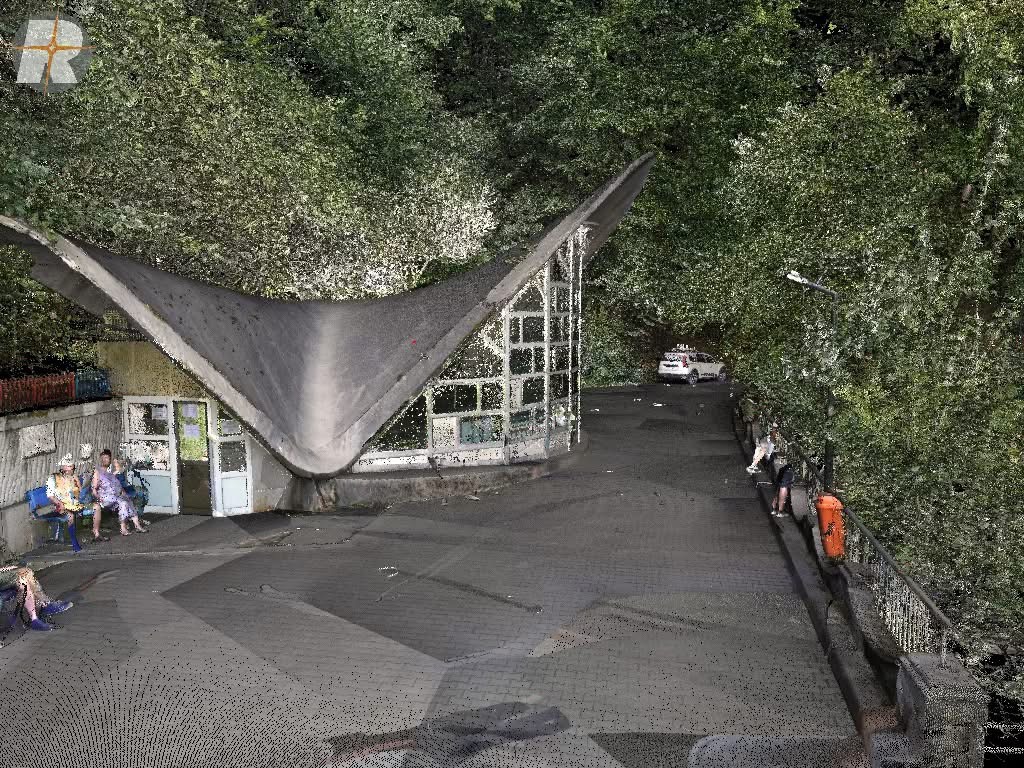
Building and site, a single point cloud
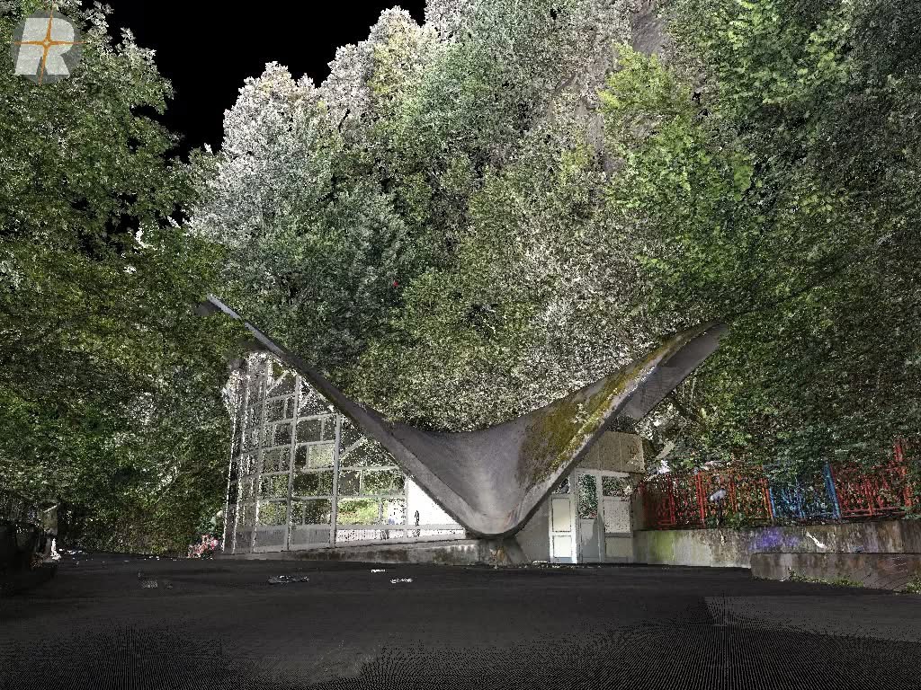
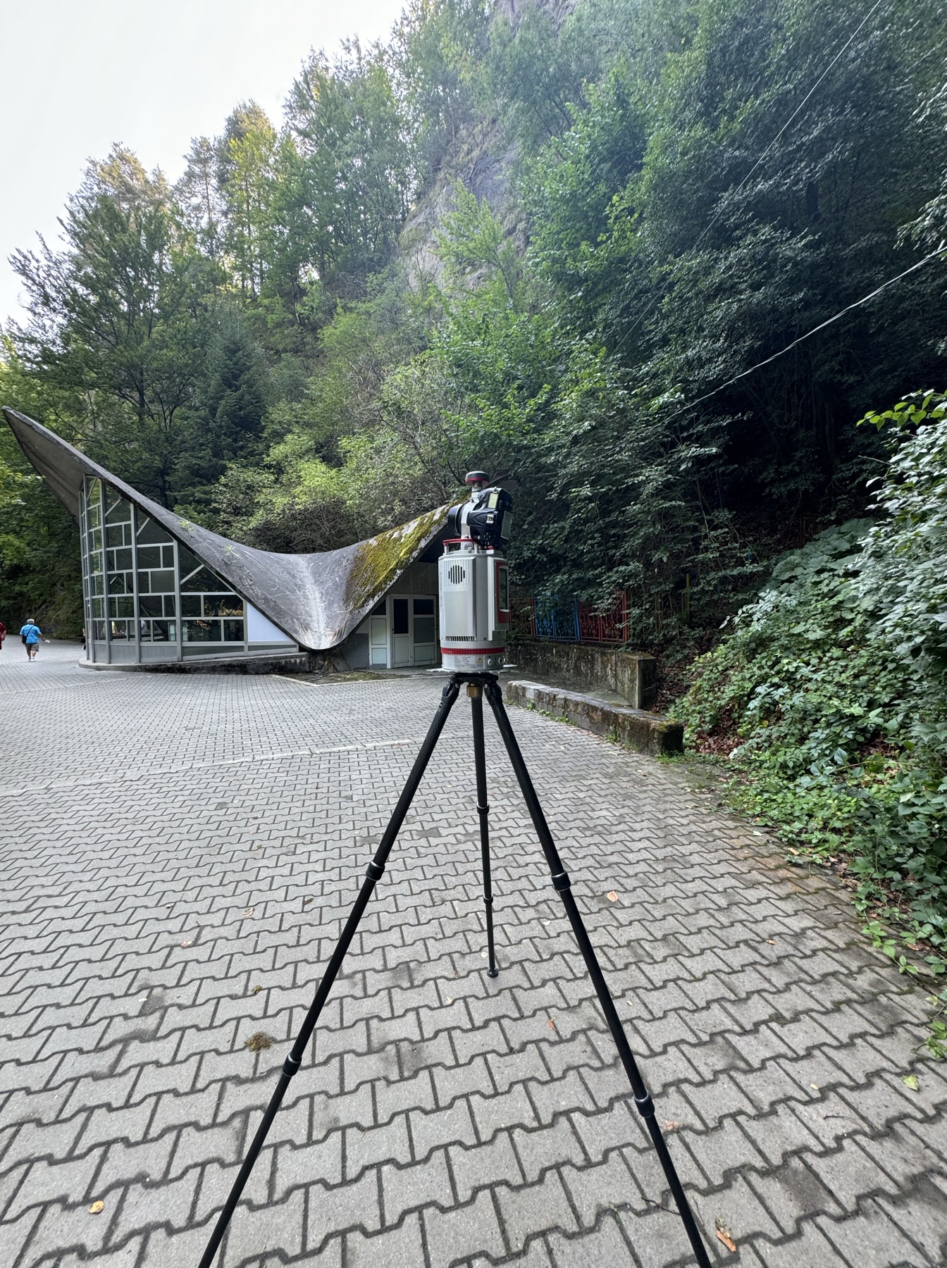
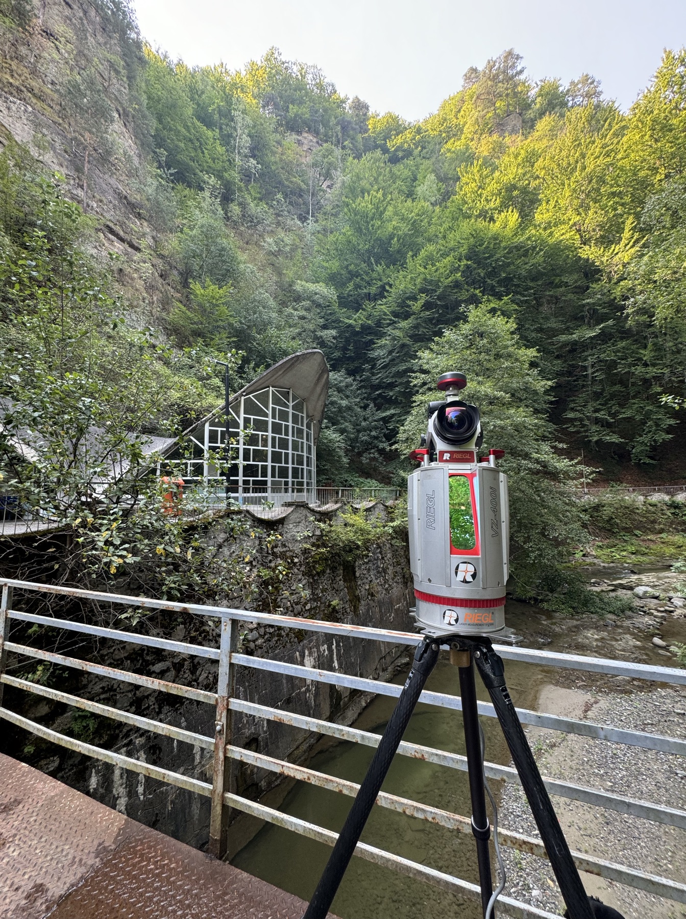
In one day on site, Riegl VZ-400i scanning and GNSS measurements captured the building and the surrounding terrain in a georeferenced system.
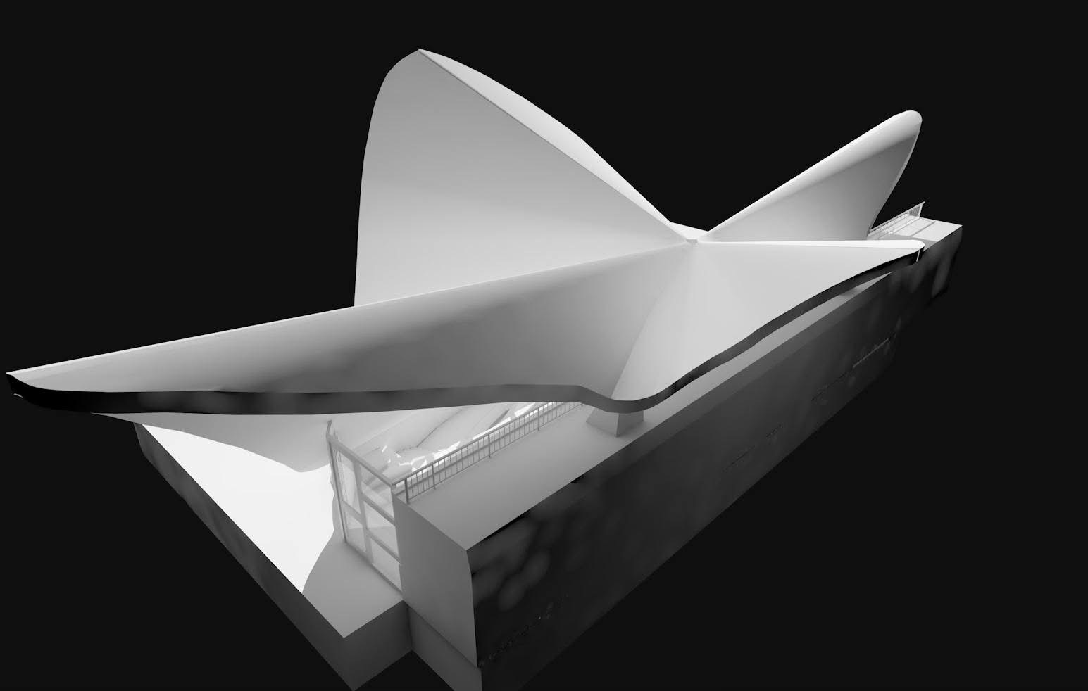
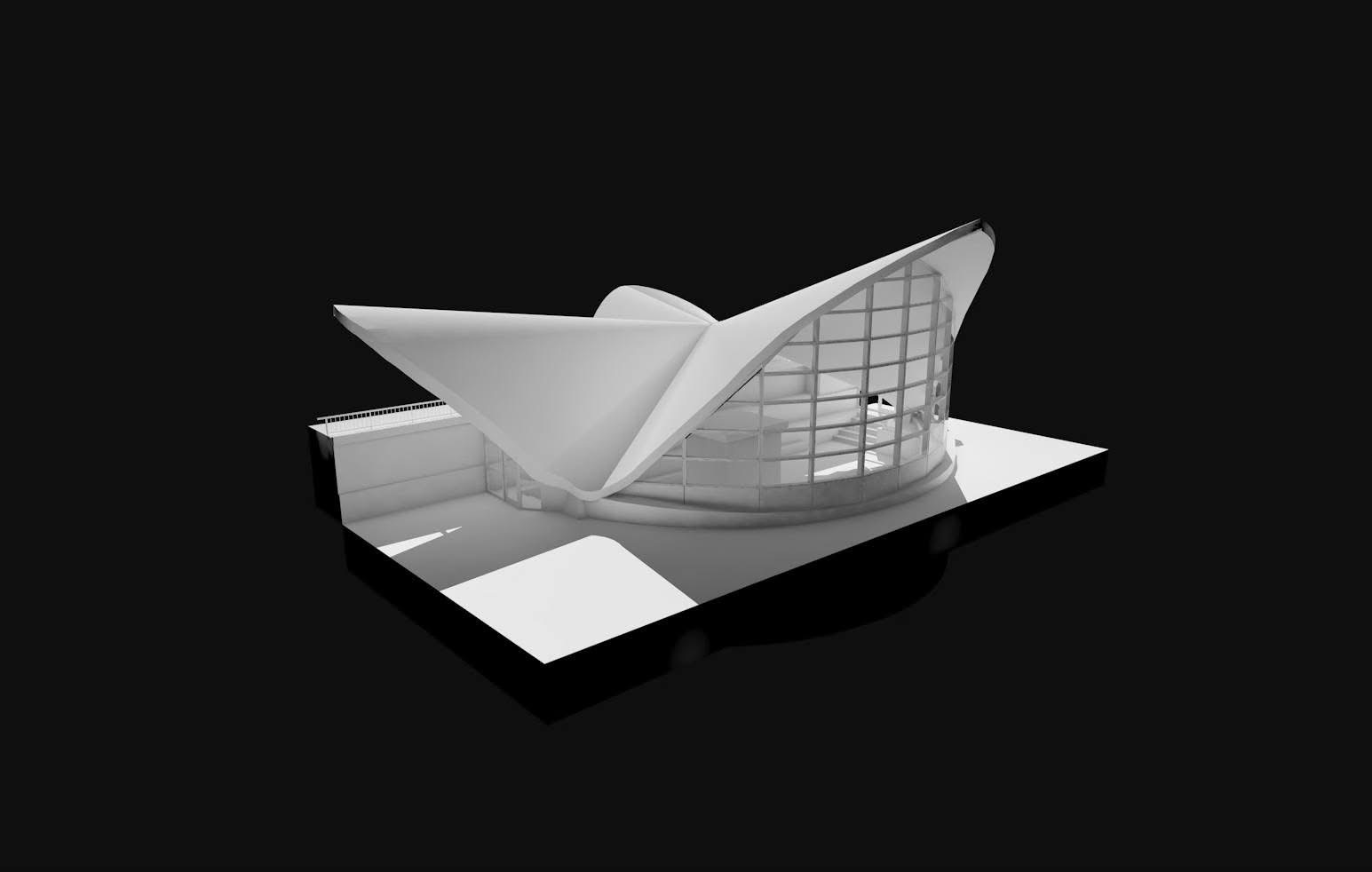
The free form, rebuilt from measurements
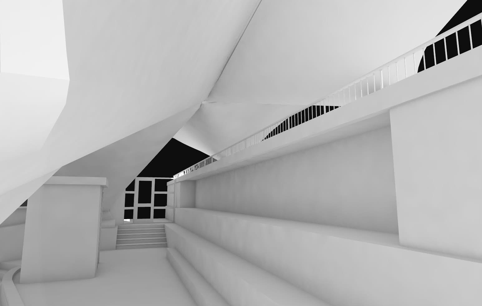
The roof, the interior space and the relationship with the terrain were rebuilt from the captured geometry, not from approximations.
A common system for the architect and the surveyor
Restoration can start from a rigorously documented existing condition. The building and the terrain stay coordinated in the same technical reference.
Project gallery
From site capture to the coordinated model. Click an image to enlarge.
Frequently asked questions
How long did the 3D scan at Spring 24 take?
One day on site, for the building and the surrounding terrain, with a Riegl VZ-400i and GNSS measurements.
Why was the terrain scanned too, not just the building?
At a spa site, the building, the water, the level differences and the access routes form a single system. Conservation requires documenting them in the same georeferenced base.
What deliverables resulted?
3D model, sections, elevations and topographic plan.
How do you document a free-form roof?
From the point cloud: the captured geometry makes it possible to rebuild the real shape without approximation.
Have a heritage site to document?
Send us the location, the approximate floor area and the deliverables you need. We reply within 24 working hours. Indicative ranges on the pricing page.
Describe your project →