
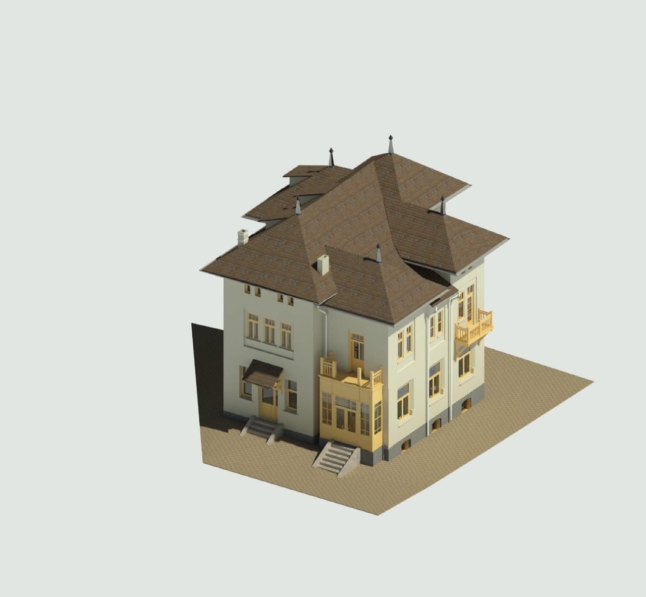
From the real building to the design documentation
3D laser scanning, survey control, architectural drawings and a 3D model coordinated in a single geometric base.
For this villa in Băile Govora, the goal was complete documentation of the existing condition. The building’s geometry, interior layout, façades, roof and position on the site had to be consistent across the 2D plans, the 3D model and the topographic plan.
The challenge: one building, four types of deliverable
In an existing building, the plans, elevations, roof and terrain cannot be treated separately. An alignment error in plan carries into the sections and the model. A floor level not tied to the topography creates problems when designing access and external works.
We built the documentation from the same measured source: the georeferenced point cloud.
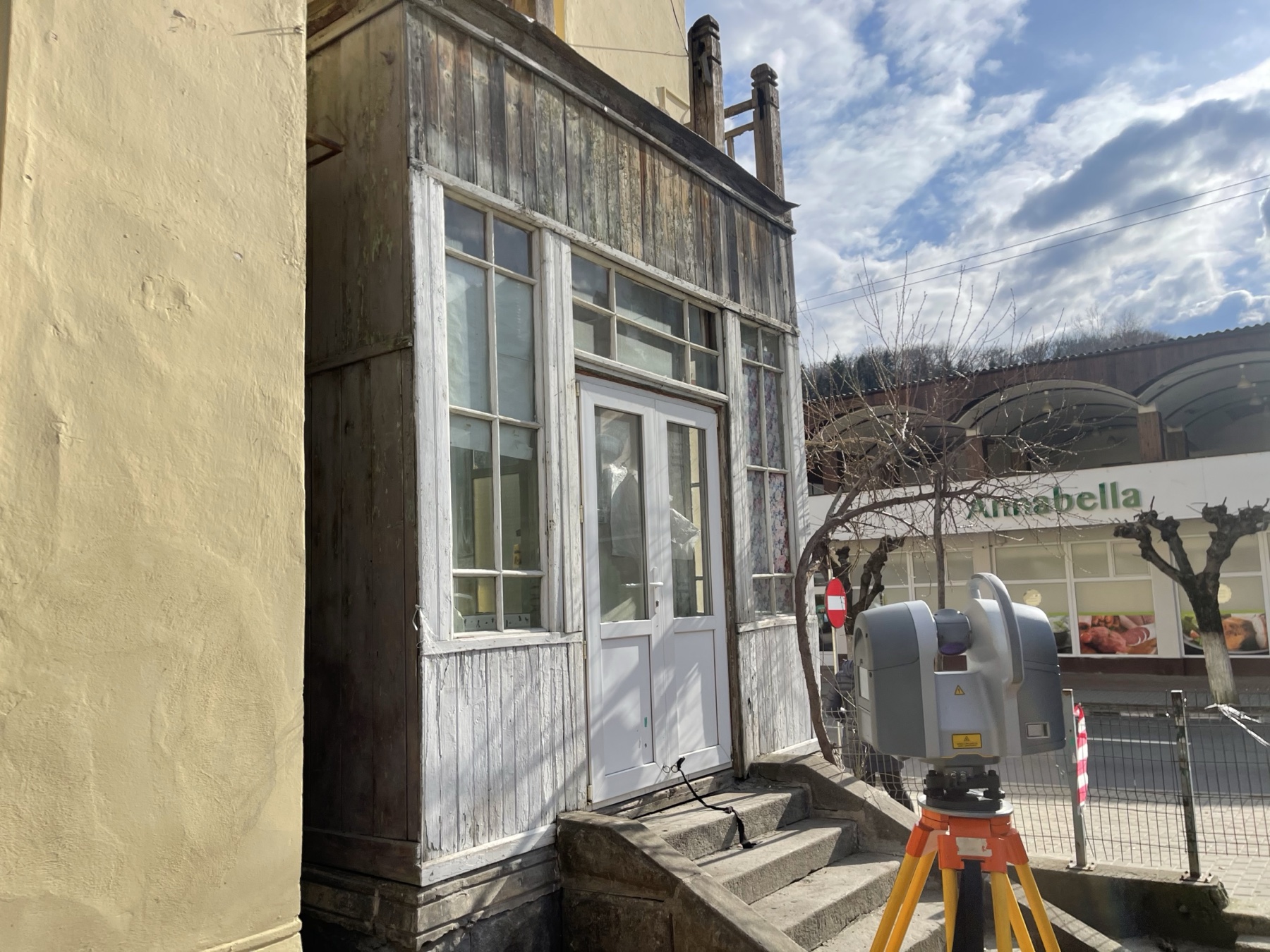
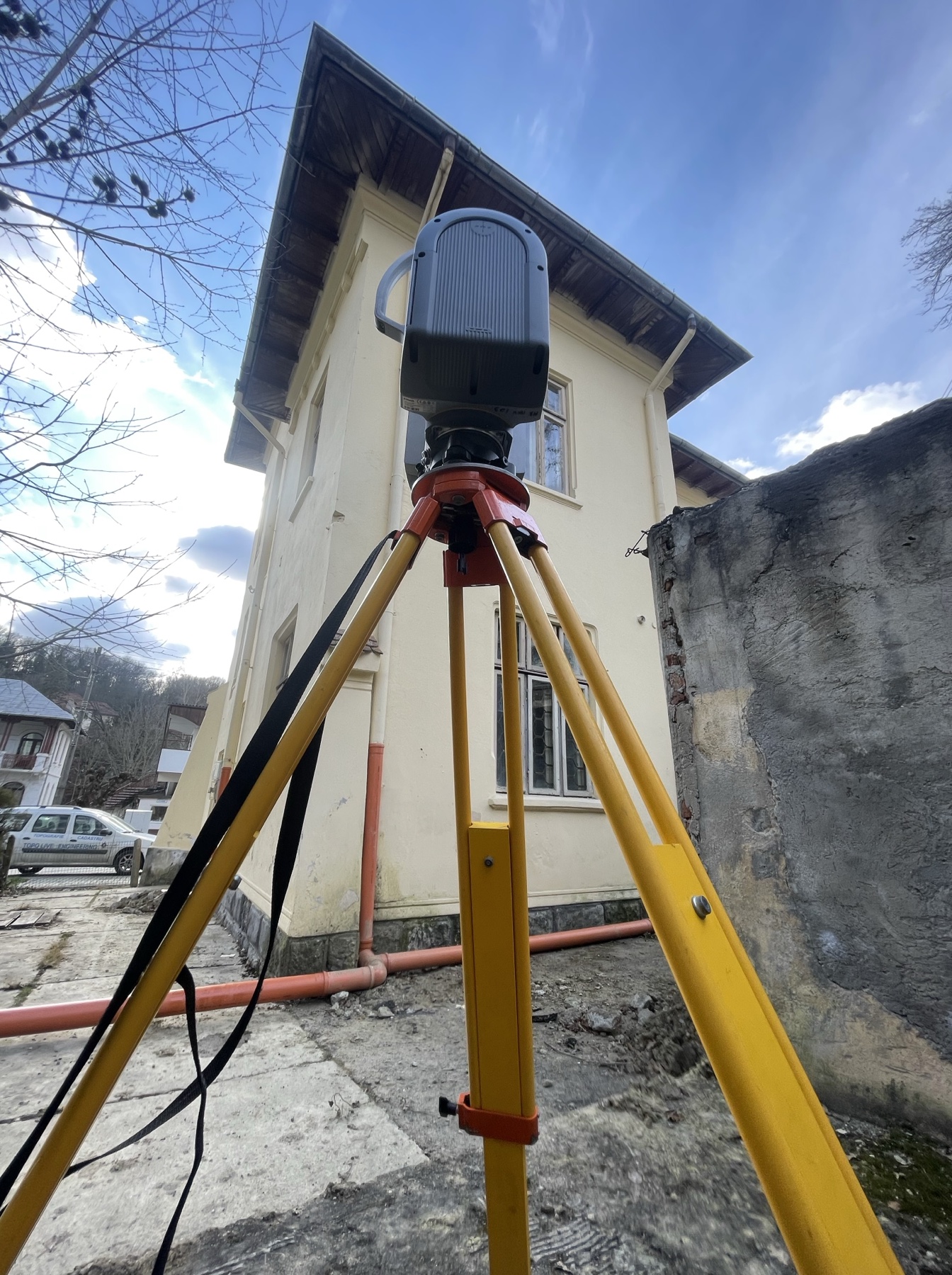
Site capture
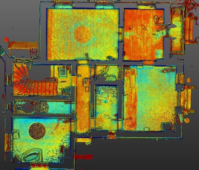
Scan stations were spread outside and inside to link the rooms, circulation, façades and roof volumes. Survey control positioned the building in relation to the plot and the existing landscaping.
The result was a single dataset, sufficient for modelling and for extracting the architectural documentation.
From the point cloud to plan and model
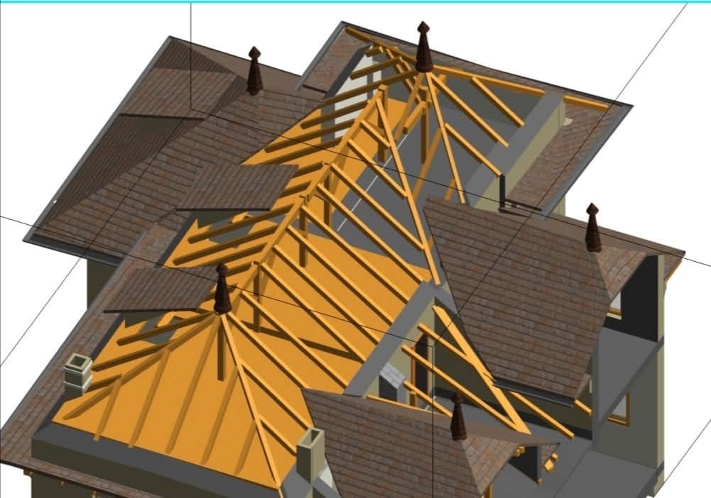
The point cloud was registered, checked and used as the reference for the floor plans. Modelling followed the main volumes, openings, balconies, vertical circulation and the complex roof geometry. The roof structure was documented separately so that the structure and roofing could be analysed in relation to the rest of the building.
| Location | Băile Govora, Vâlcea County |
|---|---|
| Project type | documentation for a residential villa |
| Capture | 3D laser scanning inside and out, and survey control |
| Deliverables | point cloud, architectural plans, elevations, sections, 3D model and topographic plan |
| Use | base for design, interventions and coordinating disciplines |
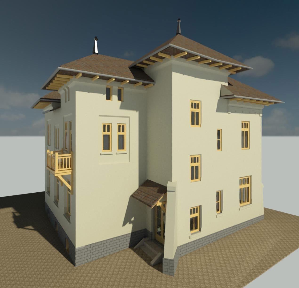
What the architect receives
Documentation in which the topographic plan, the architectural drawings and the 3D model describe the same existing condition. The team can measure, check and design without rebuilding information from incompatible sources.
Why roof modelling matters
The roof has several volumes and intersections, and these affect the elevations, the sections and rainwater drainage. Representing the roof structure separately gives the designer a clear picture of the geometric logic, impossible to obtain from photos or spot measurements alone.
Services used in this project: 3D scanning for buildings · topographic plan.
Have an existing building to document?
Send us the location, the approximate floor area and the deliverables you need. We reply within 24 working hours. We agree the method, schedule and quote once the project details are clear. Talk to the 3D Discovery team →