
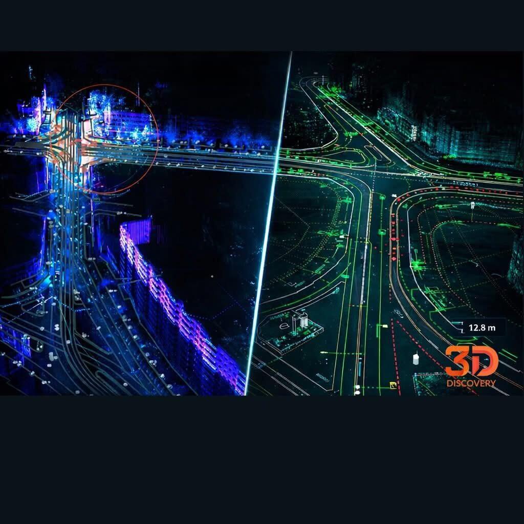
We deliver topographic plans for medium and large projects throughout Romania. Topographic surveying with dual-frequency GNSS-RTK, static 3D laser scanning and mobile mapping (Riegl VMZ-400i), UAV photogrammetry, processing in CloudCompare / Revit / AutoCAD. Final deliverable: a CAD plan (DWG) with real levels, in the national Stereo 70 system.
We are an ANCPI-authorised company, since 2011. A portfolio of more than 400 projects, more than 1,500,000 m² scanned and more than 1,500 km of infrastructure documented.
When you need a topographic plan: for building permits, land subdivision or merging, PUZ / PUD, assessments, infrastructure projects, cadastral updates, checking the existing condition.
What a topographic plan includes
The content of the plan depends on the purpose of the project. For the most common cases, the topographic plan we deliver contains:
- Planimetric survey — plot boundaries, existing buildings, relevant neighbouring features
- Altimetric survey — levels, contour lines, cross and long sections
- Positioning in the national Stereo 70 system (X, Y) and heights in the Black Sea 1975 datum
- Visible utilities (access roads, manholes, overhead power lines)
- Relevant urban planning features — setbacks, building lines, street front
- Coordinate tables, technical report, stamp and signature of the authorised specialist
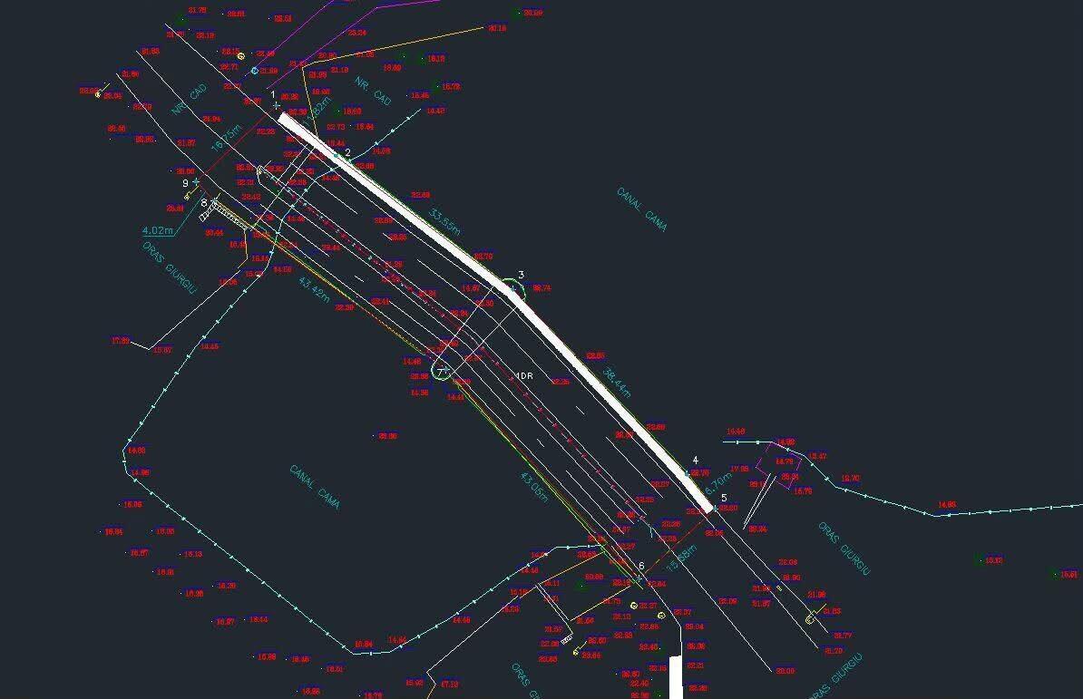
Sample topographic plan from UAV data — PDF
To document and analyse the area, we combined aerial drone capture with terrestrial 3D laser scanning. The data was used to represent the terrain, the buildings and the features visible on the site.
Open an A2 sheet at 1:500, with levels, 0.25 m contour lines, buildings, vegetation and surface features. The reference systems shown on the sheet are Stereo 70 and Black Sea 1975.
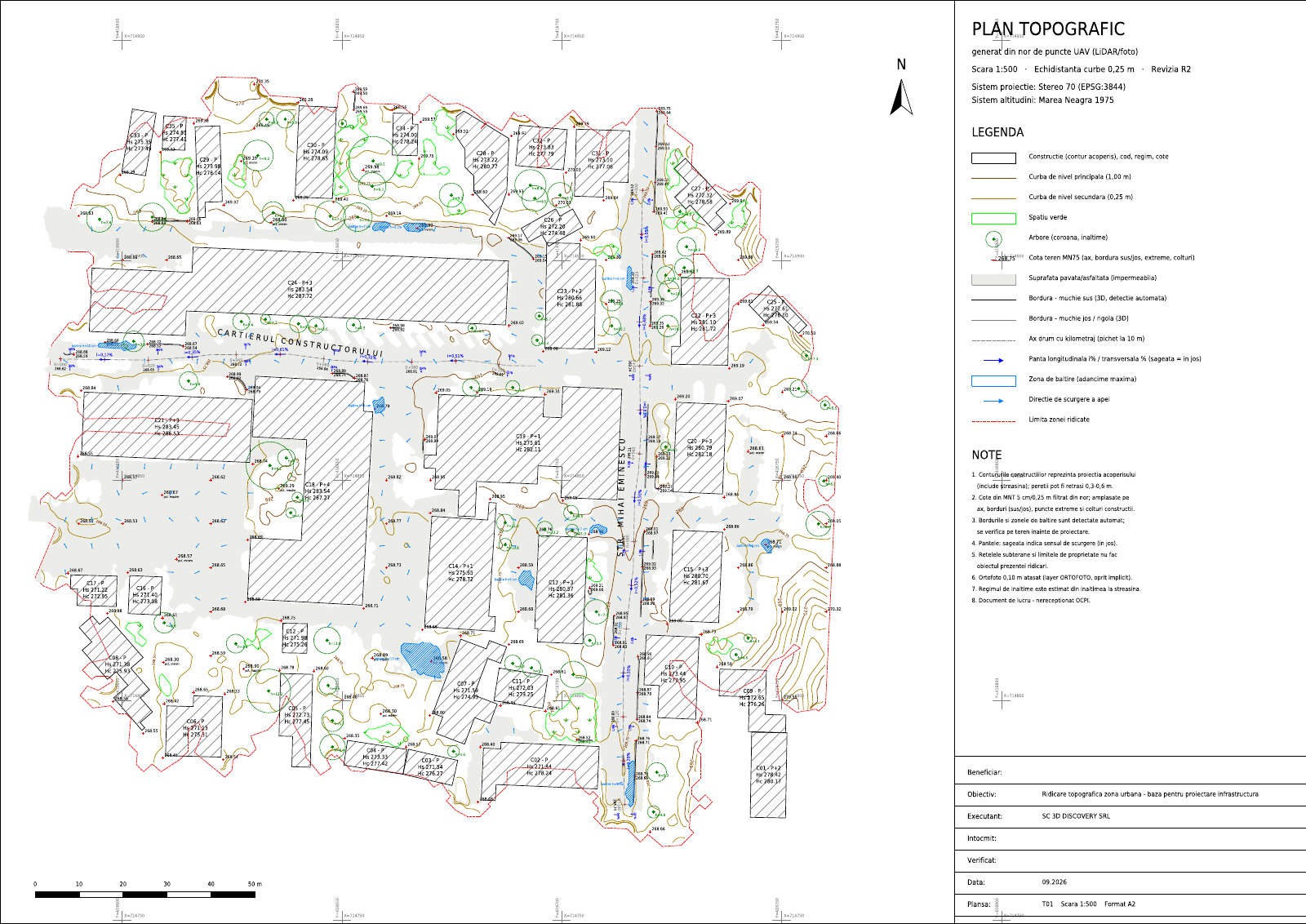
Working document, not accepted by OCPI. Building outlines show the roof projection; property boundaries and underground utilities are not covered by this sheet. Automatically extracted elements require field checking, as per the notes in the document.
Technologies we use
The choice of method depends on area, complexity, required accuracy and access:
- Trimble R10 and R12 dual-frequency GNSS-RTK — for conventional surveys of isolated plots and land outside built-up areas
- Static 3D laser scanning (Riegl VZ 400i, Trimble TX8) — for buildings, basements, interiors, dense areas
- Mobile mapping (Riegl VMZ 400i) — for streets, motorways, linear infrastructure — capture along the route, with accuracy requirements set for each project
- UAV / photogrammetry — for rural areas, land outside built-up areas, large sites with little vegetation — georeferenced orthophoto + digital terrain model
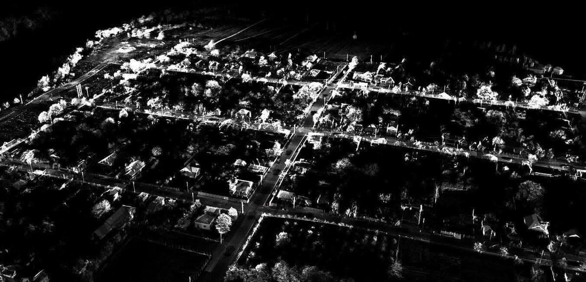
For most projects we combine two or three methods: drone for the general context and terrestrial or mobile scanning for detail where accuracy matters.
Laser scanning or UAV photogrammetry? Capture conditions and deliverables compared →
Medium and large projects — anywhere in the country
Our real difference shows at scale. A local surveyor does a plot well. For an urban block, a road junction, an industrial hall of 5,000+ m² or a linear infrastructure route, we have the equipment and workflow to close the project with dimensional certainty.
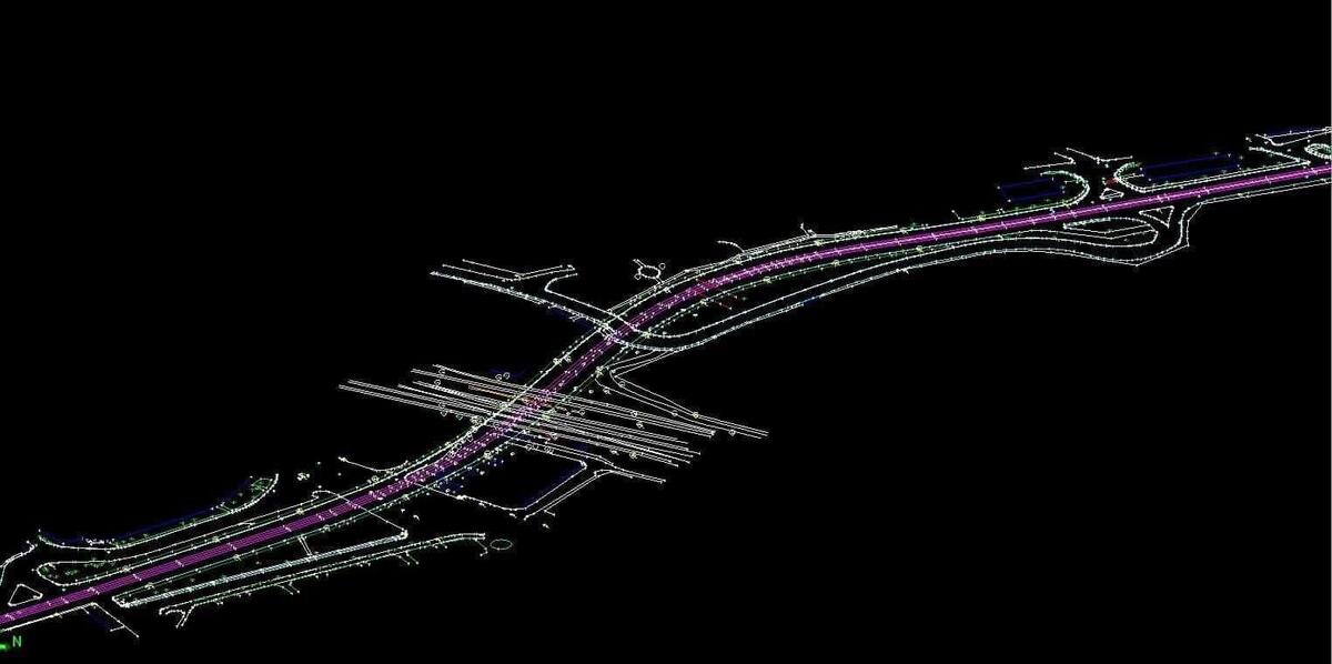
We also deliver for historic or heritage buildings, where detail matters beyond the requirements of a standard topographic plan. See heritage projects.
For construction sites — setting out, construction monitoring, as-built and quantities for progress valuations — see construction surveying on site.
Timing and delivery
- Reply to your request: within 24 working hours
- Firm quote: within 48 hours of complete information
- Delivery: from 7 working days for standard cases; the timeframe grows for projects over 3,000 m², historic sites or additional requirements (cadastral documentation, assessments, permits)
- Delivery format: DWG (AutoCAD), PDF, LAS/E57 for the point cloud, plus a technical report
Indicative cost
Prices depend on area, complexity, technology used and the final deliverable. For indicative ranges by category, see the pricing page.
For specific cases we provide a firm quote on request.
Areas covered
Office in Bucharest (9 Crișana St., unit 10, Sector 1) and a site office in Râmnicu Vâlcea (171 Calea lui Traian). We serve projects throughout Romania:
- At local rates — topographic plans in Bucharest and topographic plans in Vâlcea
- With travel elsewhere in the country — for medium and large projects (over 3,000 m² or where specialisation is required)
The team
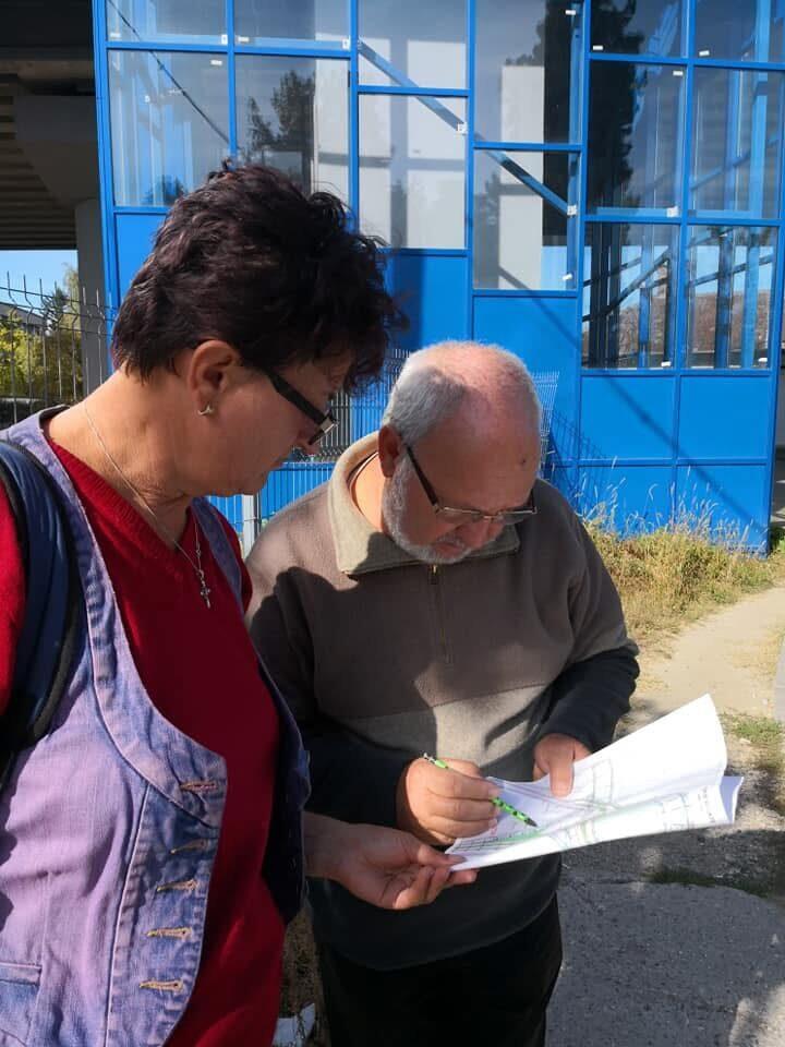
The 3D Discovery team brings together surveying engineers, ANCPI-authorised surveyors, BIM specialists and field technicians. We work with certified technical experts in complementary fields (structural assessments, urban planning assessments) when the project requires it.
Frequently asked questions
What is the difference between a topographic plan and a cadastral survey?
Cadastral documentation identifies the property in the cadastral and land registry system (cadastral number, boundaries, areas, registered buildings). The topographic plan describes the real position of the building and the land features in the national reference system. The two serve different purposes and, in many projects, are complementary.
Do you produce topographic plans outside Vâlcea and Bucharest?
Yes. For medium and large projects (over 3,000 m², linear infrastructure, complex sites, heritage) we travel anywhere in Romania. Travel costs are quoted separately, depending on distance and actual time on site.
What equipment do you use for plan accuracy?
We use Trimble R10 and R12 GNSS-RTK, Riegl VZ-400i and Trimble TX8 3D laser scanners, Riegl VMZ-400i mobile mapping and UAV capture. The method, tolerances and checks are set according to the site, purpose and agreed deliverables.
Do you deliver the plan in an editable format?
Yes. We deliver in editable DWG (AutoCAD) format, plus PDF for archiving. On request, we also deliver the georeferenced point cloud (E57/LAS/LAZ) for design teams working in BIM or other CAD environments.
How long does a topographic plan for a building permit take?
For a standard residential plot: 5–10 working days from the site survey. For simple cases, with easy access and standard requirements, we can get down to 7 days in total. Timeframes grow for dense areas, historic sites, land with obstructive vegetation or additional documentation.
What should you send us for a quote?
The exact address and the land registry extract if you have it. The purpose of the work (building permit, subdivision, PUZ, etc.). Any existing drawings. If the land has dense vegetation or demolished buildings, a few recent photos help us estimate the effort correctly.
Have a project that needs a topographic plan?
Send us the details — we reply within 24 working hours. For Bucharest and Vâlcea, a quote within 48 hours. For medium and large projects, we travel anywhere in the country.