
Zamfira Manor in Prahova County dates from the late 18th century. We scanned it in one day on site with the Riegl VZ-400i laser scanner, inside and out. The full project page is Zamfira Manor — 3D scanning for documentation and restoration. The service is described on the page 3D scanning for buildings.
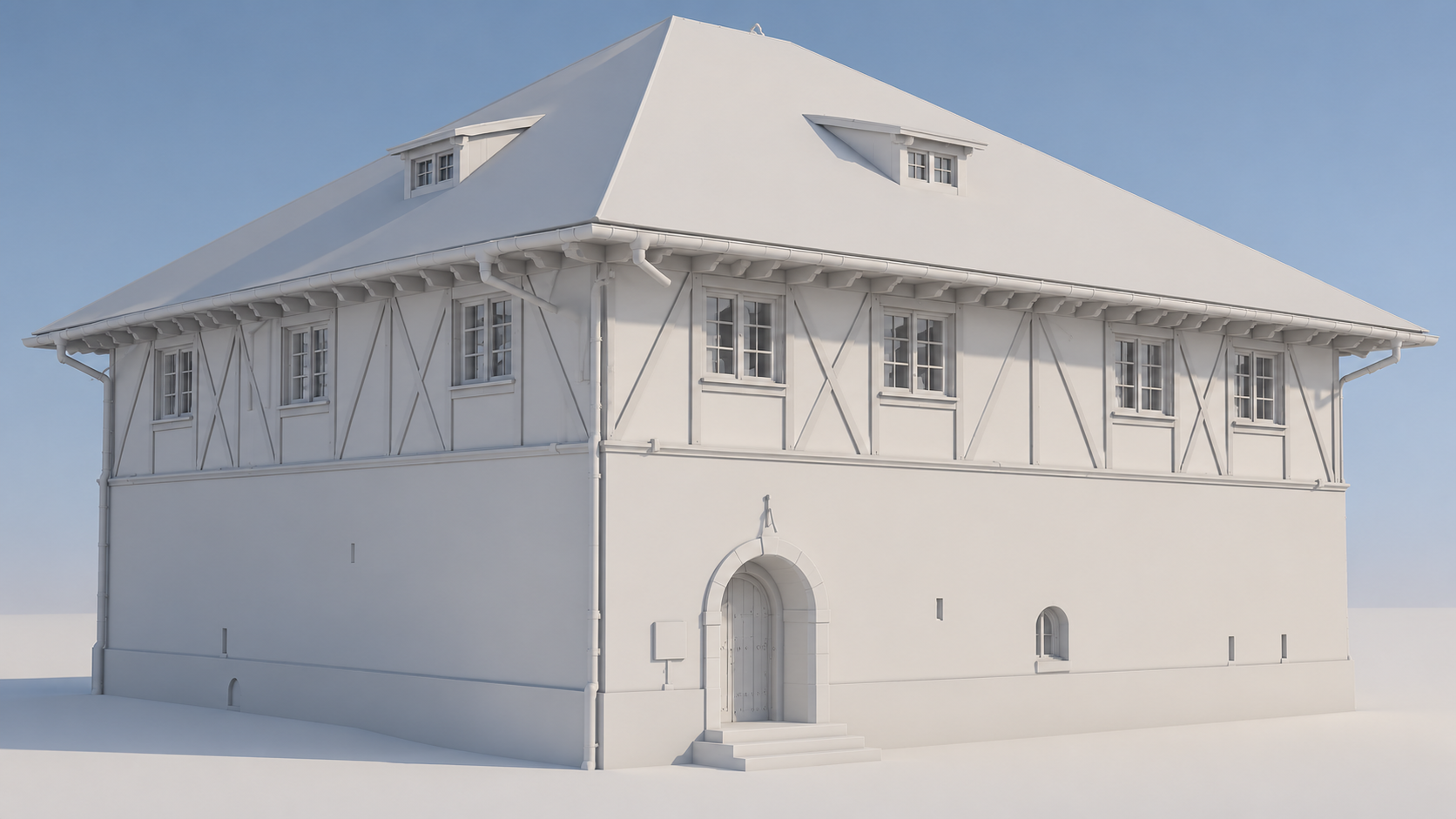
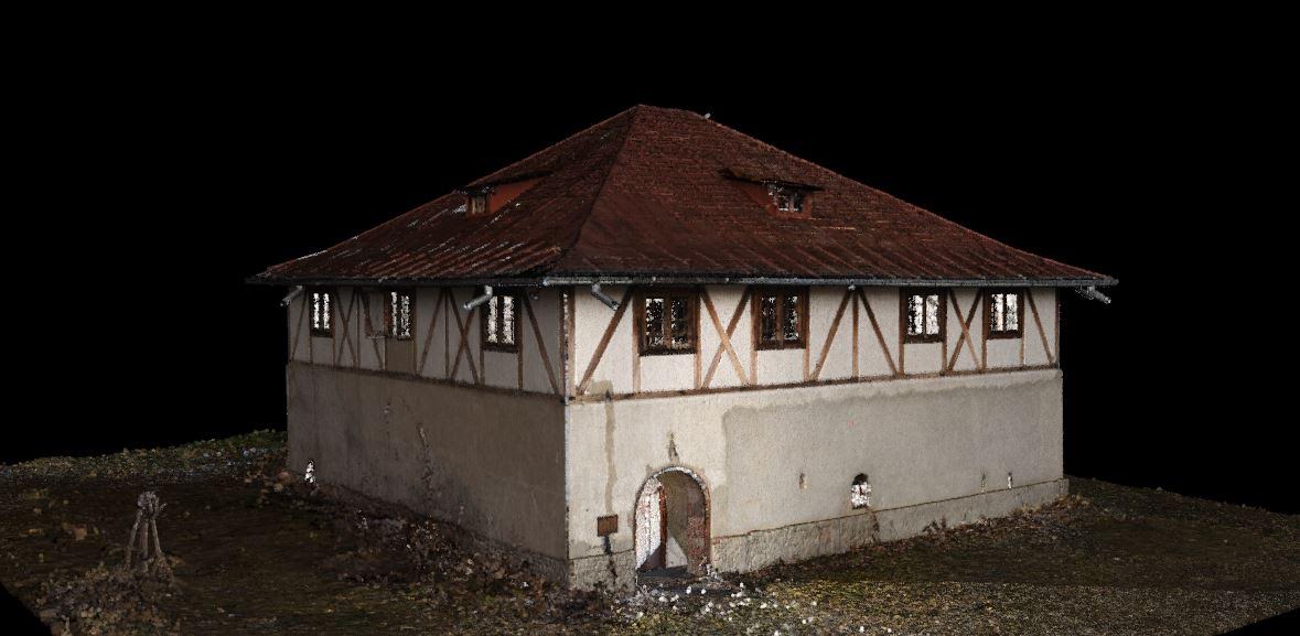
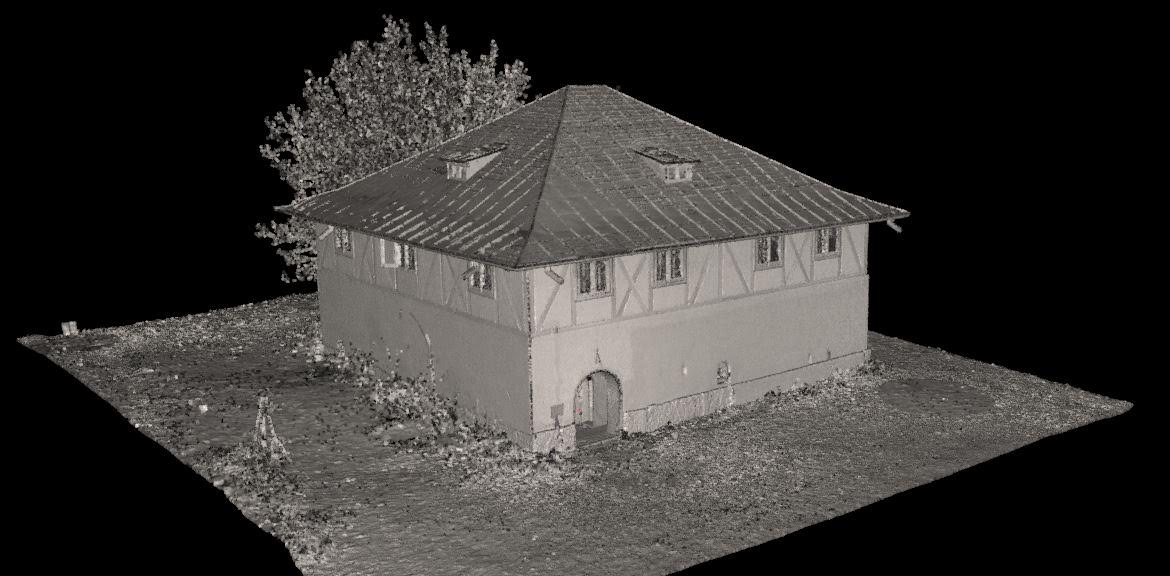
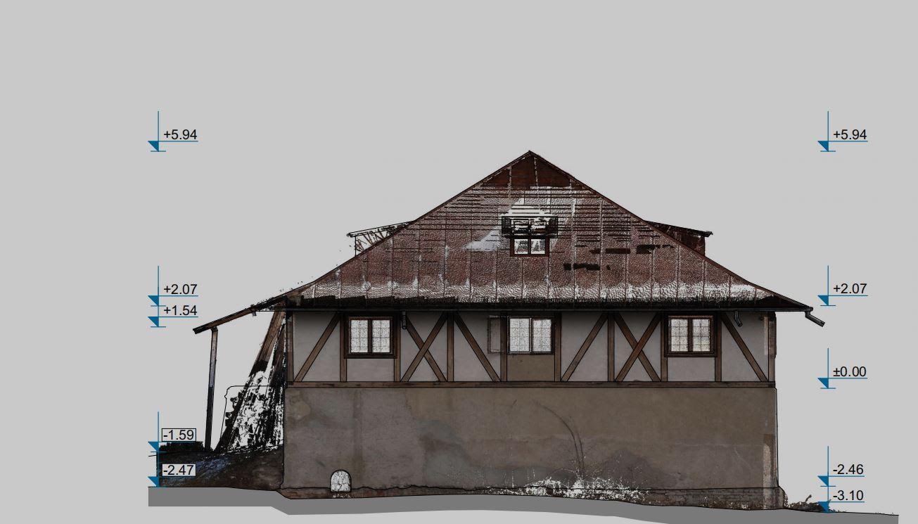
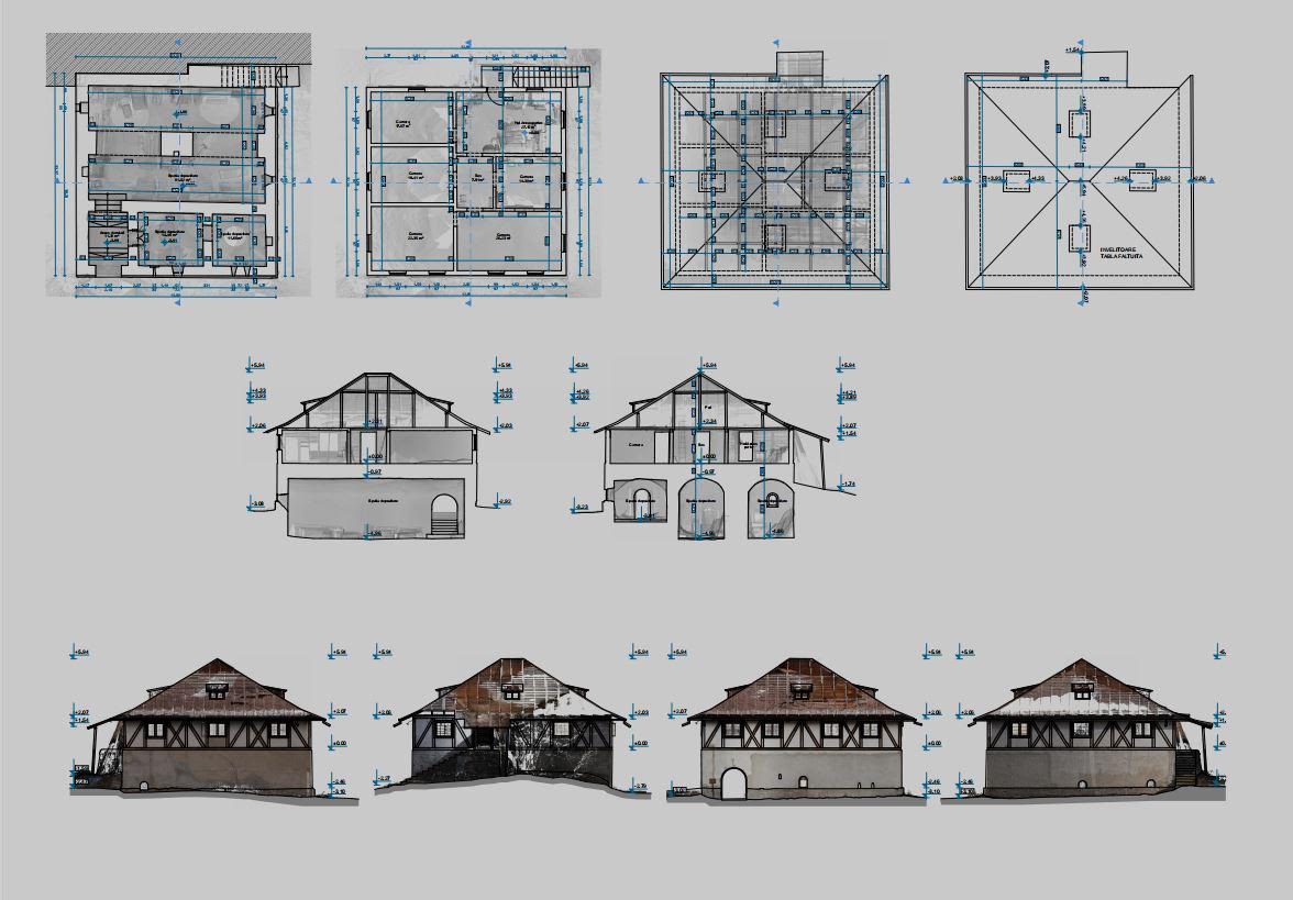
At Zamfira Manor, the documentation can be followed in three forms: the point cloud from the scan, the 3D model and the measured survey drawings. The project images show how the measured geometry is turned into representations for studying the building and preparing interventions.
What the scan shows
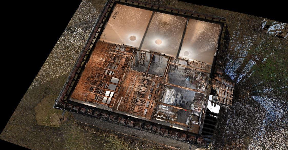
Exterior views of the point cloud describe the building’s volume, roof, openings and relationship with the terrain. Inside, digital sectioning lets you see the rooms and circulation without the exterior walls hiding the layout.
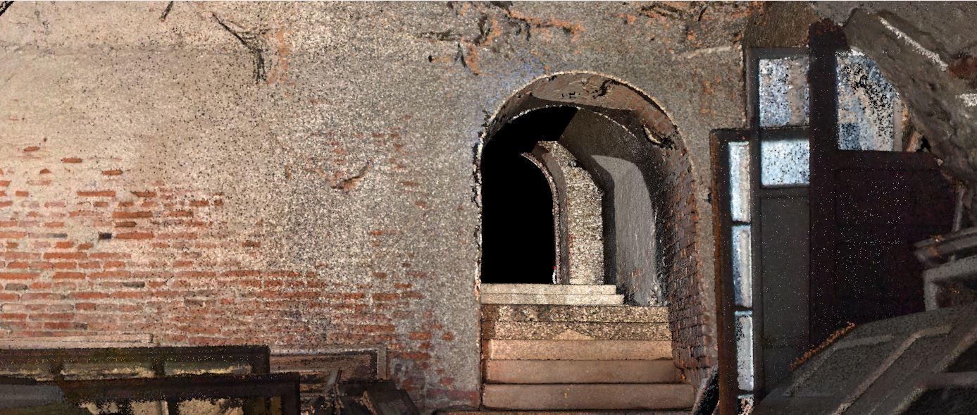
In the staircase detail you can make out the steps, the arched opening and the masonry surfaces. This data provides a geometric reference for documentation. Assessing the structural condition and deciding on interventions belong to the specialists involved in the project.
From point cloud to 3D model
The model organises the building’s geometry into an easier-to-read representation: volumes, elevations, windows and roof. The rendering shows this digital representation; it is not a photograph of the restored building.
The point cloud and the model have complementary roles. The first keeps the captured data, within the visibility limits of the scan. The second represents the modelled elements at the level of detail set for the documentation.
Plans, sections and elevations
The overall sheet brings together floor plans, sections and elevations. Separately, the elevation view with level dimensions links the representation of the building with the dimensional information. To read dimensions and use them in design, you need the original files, not the reduced images in the web gallery.
Do you already have a scan of a building?
We can also work with point clouds produced by other teams, for 3D modelling or extracting measured drawings. Send a sample of the data, information about coverage and the list of documents you need. We confirm what can be done after checking the source.
Describe the project · Indicative prices · Heritage projects