
3D Discovery · Roads and infrastructure
Measured data for roads and networks
Road surveying, pavement distress surveys and GIS inventory from a single field campaign. For road experts, designers and road authorities.
What we deliver
Road surveying
Topographic plans for national, county and city roads from mobile LiDAR and GNSS, in the Romanian national grid (Stereo 70). For feasibility studies, detailed design and technical expertise.
Pavement distress survey
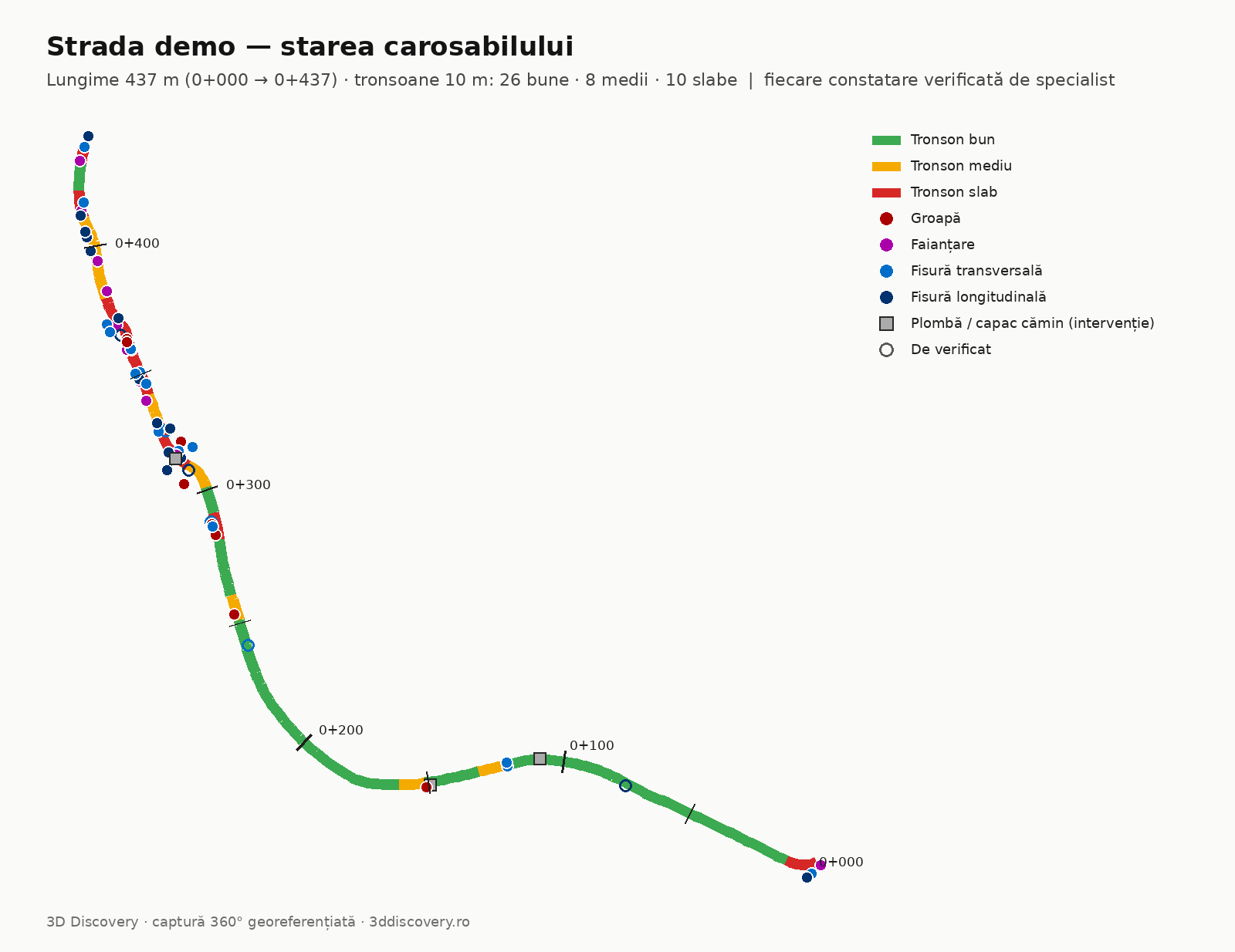
Visual findings by chainage: the cracks, alligator cracking, potholes and patches included in the scope, with a photo and estimated quantity, in 10 m segments. Not a substitute for a technical pavement evaluation.
GIS road inventory
The assets included in the scope (signs, poles, utility cabinets; other classes as a pilot), with coordinates and a photo, ready to import into your GIS.
How we work
One pass in the field
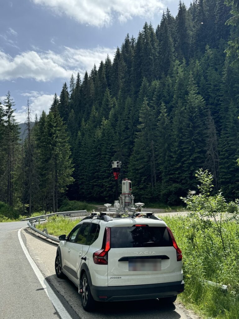
With our mobile scanning system and 360° camera. Up to 60–80 km a day on rural roads in good traffic and weather; less in towns.
Processing
In national coordinates, with automated image analysis.
Specialist review
Of every finding before delivery.
Delivery
In your formats (DWG, SHP, GeoJSON, Excel, PDF) and access to 3DD Spatial Reality, where you explore the road in 360° imagery, on the map and in 3D.
We provide the measured, documented data. Conclusions and solutions stay with the expert and the designer.
Track record
- 2,000 km of roads surveyed by mobile mapping, from local roads to national roads
- Over 1,000 km of 360° imagery captured for GIS
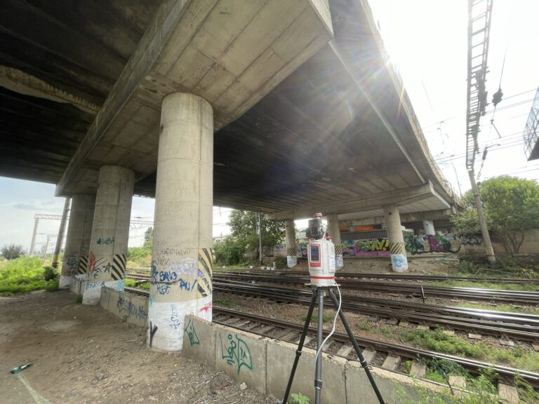
- County road DJ 607B: 100 km surveyed in 2 days, plus terrestrial scanning of bridges, for the upgrade plan
- National road DN 7A: mobile and terrestrial scanning for the upgrade
- County road DJ 108B: as-built survey
- Brăila: topographic survey of the city for street redevelopment
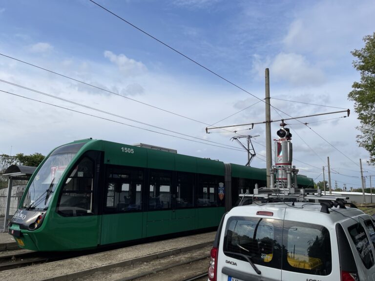
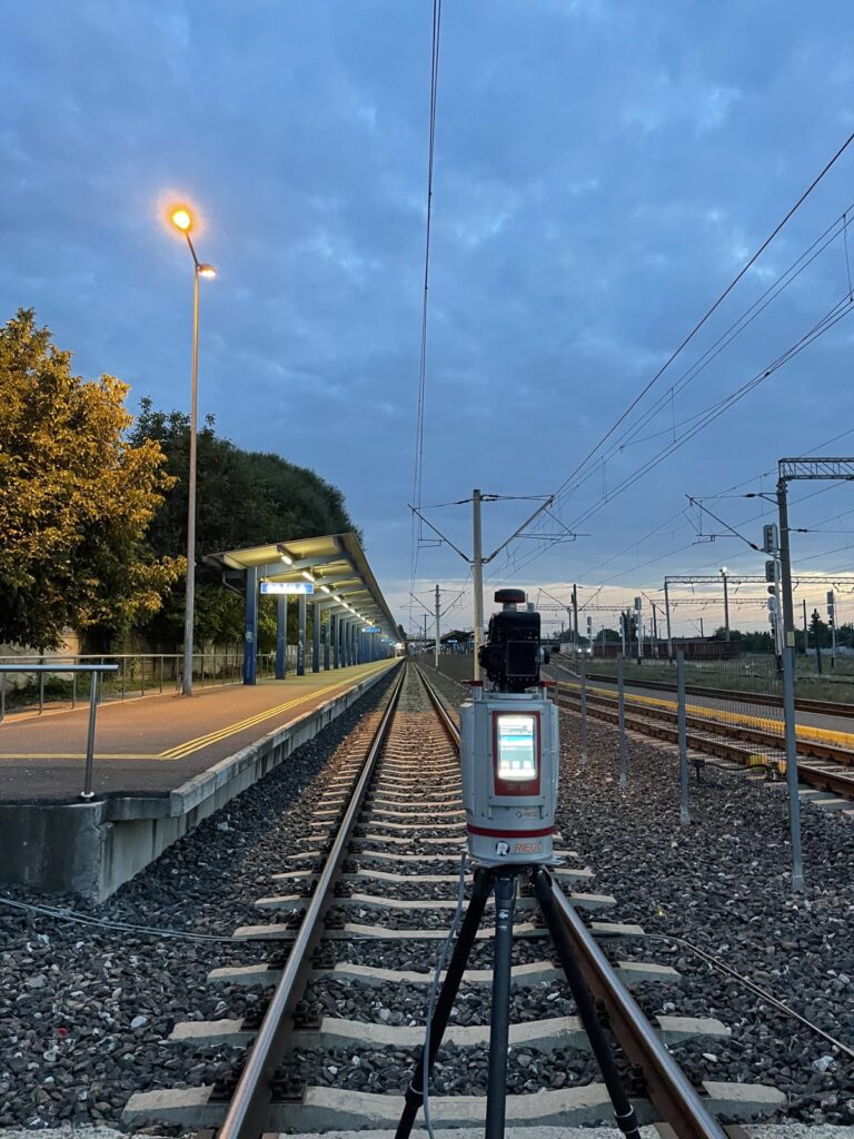
- Brăila: topographic survey of the tram lines, with terrestrial scanning, mobile scanning and conventional survey
- Arad: topographic survey for the upgrade of the tram lines, with mobile scanning, terrestrial scanning and conventional survey
- Bucharest: topographic survey of city streets, with mobile, terrestrial and aerial scanning
- Călimănești and Nădlac: whole towns surveyed for utility networks
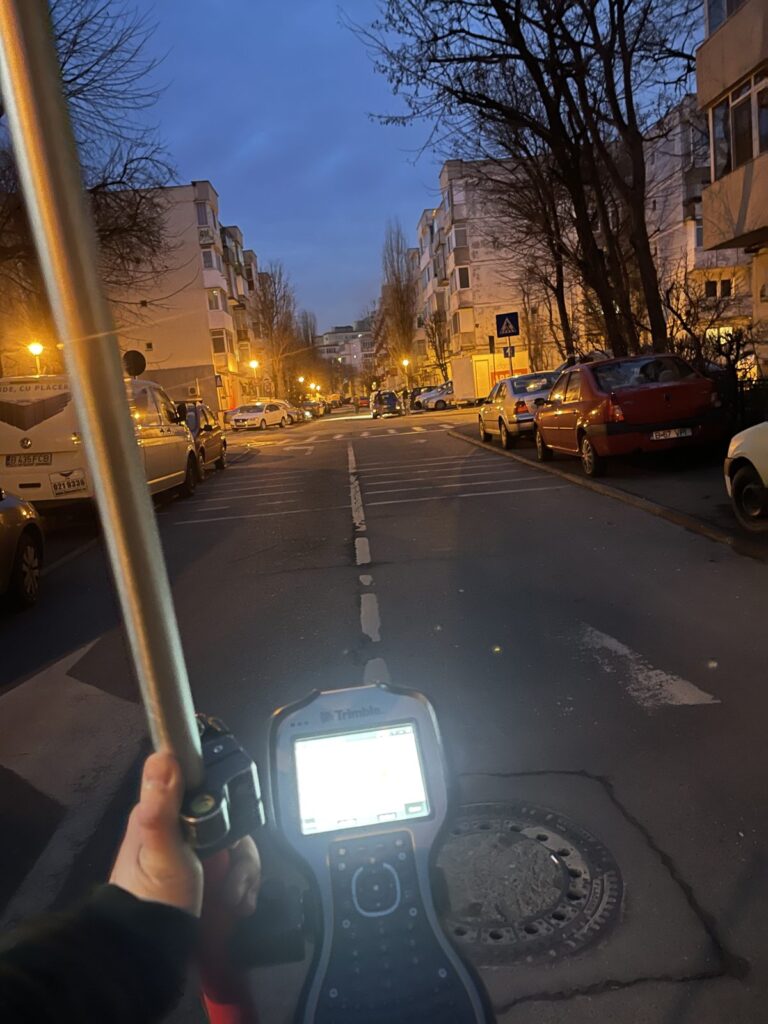
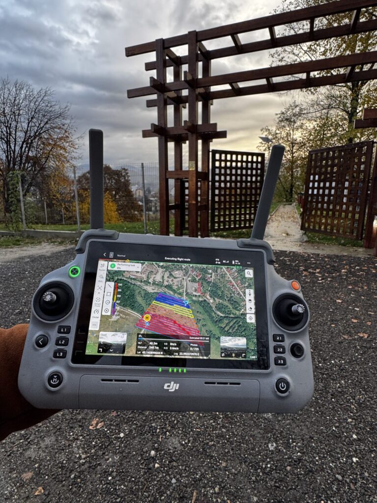
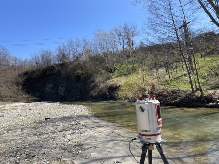
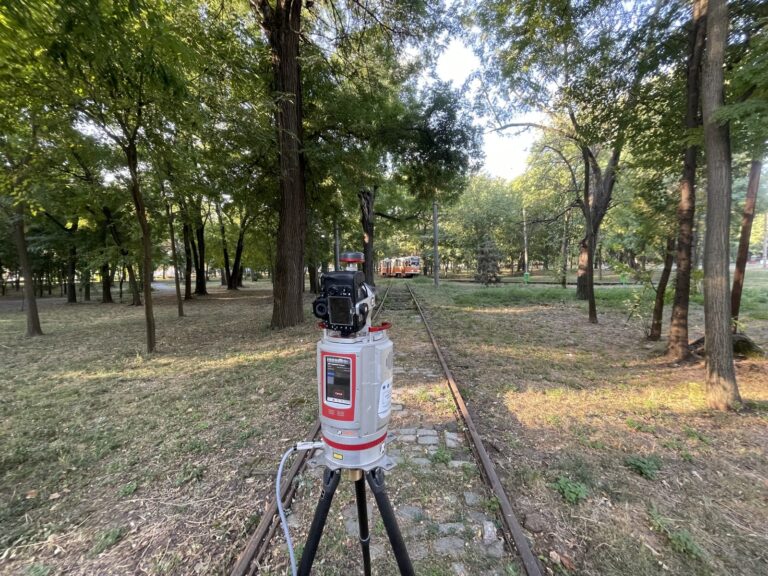
In the field
Deliverable example
Pavement condition map with 50 m chainage marks and 10 m segments rated good / fair / poor, plus a sector sheet with photos by chainage.
[Download the sample sheet (PDF) – after the sheet is approved]
Explore the data
Have a road under expertise or design?
Send us the section (county, road, from km – to km) and the decision you need to make. We reply within 24 working hours with what we can measure and how long it takes.
Pavement distress survey · GIS road inventory · Heritage and buildings · 3D demo · Client access