
Measured surveys for historic monuments.
On the real geometry.
We document the building by 3D laser scanning and draw the survey directly on the point cloud: plans, sections, elevations, orthophotos and, on request, an HBIM model in ArchiCAD, Revit or IFC.
20+ heritage buildings · including 2 UNESCO sites: Horezu Monastery and the Arutela Roman Fort · Ploiești Cathedral
We do not rebuild the existing condition from old drawings or from a series of spot measurements. We start from the visible geometry captured on site.
We measure. The designer designs.
We provide the measured survey and the geometric base for the team designing the intervention.
What it is, in short
A measured survey of a historic monument documents the building as it stands today. 3D laser scanning provides the geometric base, and the plans, sections, elevations and HBIM model become the basis for designing the intervention.
Why a monument survey is different
In a historic building, the real geometry is rarely perfectly regular.
Walls can lean out of plumb. Vaults and arches are not identical. Floor levels can differ or have settled. Successive interventions change volumes, openings and wall thicknesses. Cornices, profiles and ornament add geometry that is hard to capture with conventional measurement.
3D laser scanning records the visible geometry from the scan positions in a single coordinate system. This means the plans, sections and elevations can be built on the same measured base.
For elements captured well enough, extra dimensions needed later can be extracted from the point cloud, without a new site visit being the first answer.
What you receive
| Plans, sections and elevations · DWG, PDF | Drawn on the point cloud, with the real geometry, including deviations, deformations and variable thicknesses |
|---|---|
| Façade orthophotos | A scaled image, useful as a base for mapping decay and analysing façades |
| HBIM model in ArchiCAD or Revit | A geometric model built on the point cloud; plans and sections can be generated from the model |
| Exchange formats | IFC and other formats set according to the project’s requirements |
| Point cloud | E57, LAS or another agreed format; in colour if the project requires it |
The level of detail is agreed before modelling starts.
For very complex elements — sculpture, ornament, decorative profiles — we do not automatically assume every detail must become a BIM object.
Depending on the project’s purpose, they can be represented more efficiently through the point cloud, an orthophoto or selective modelling.
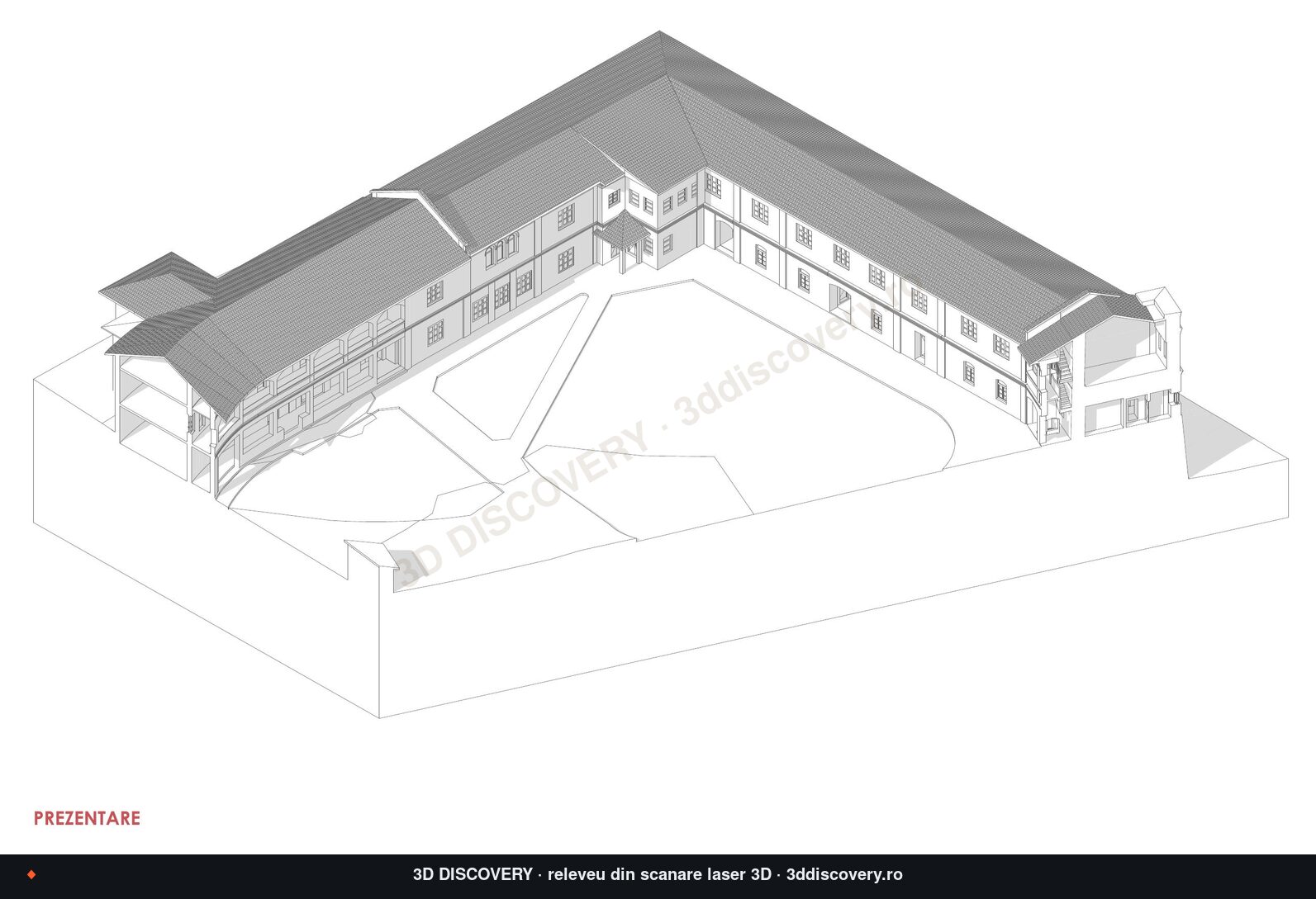
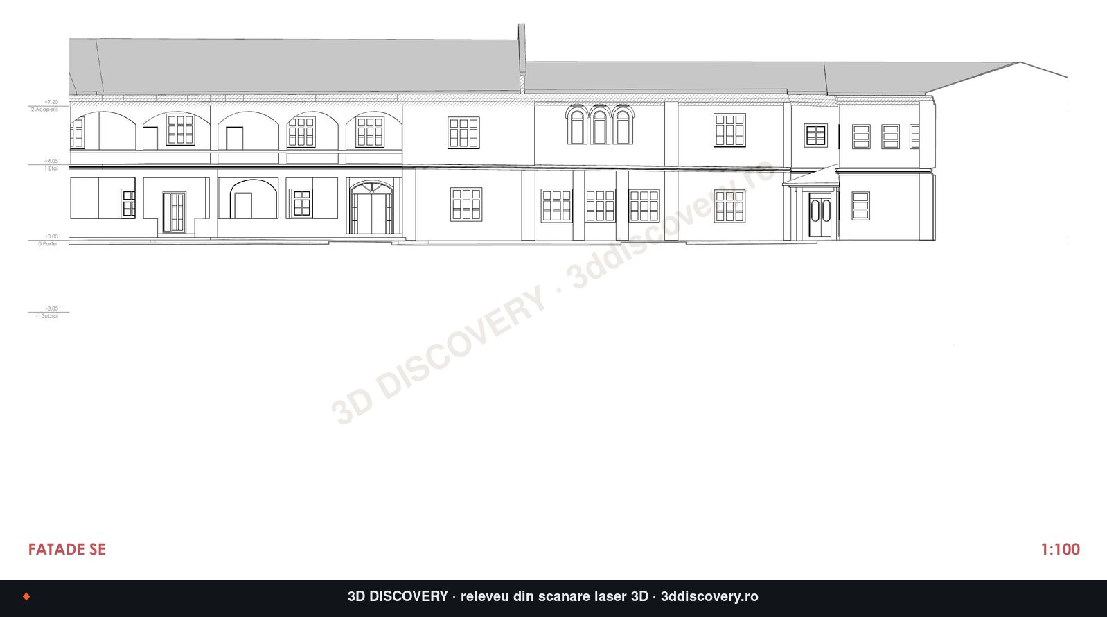
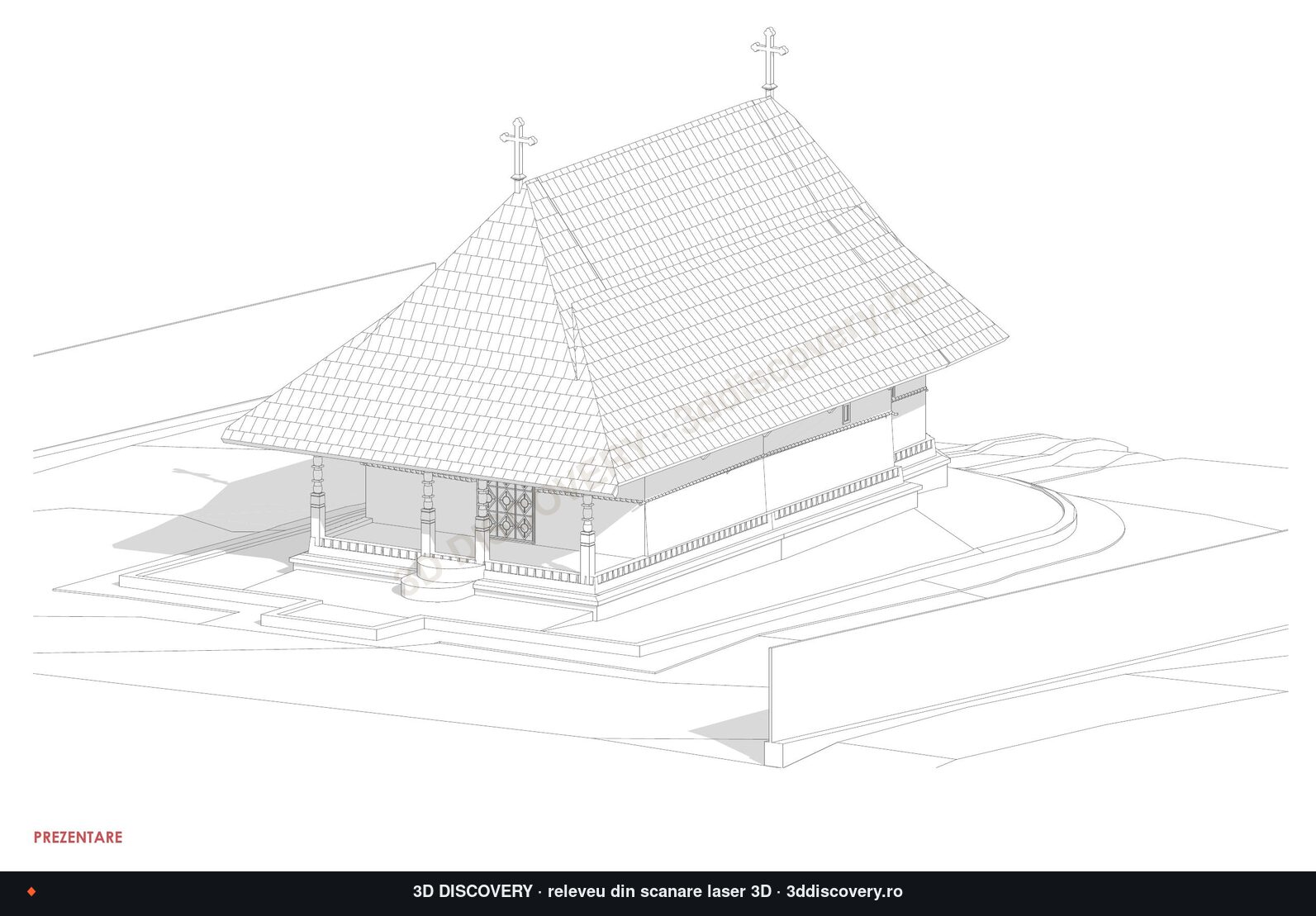
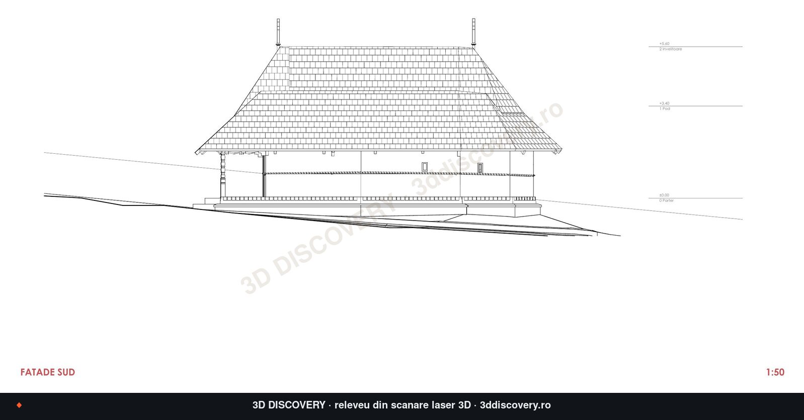
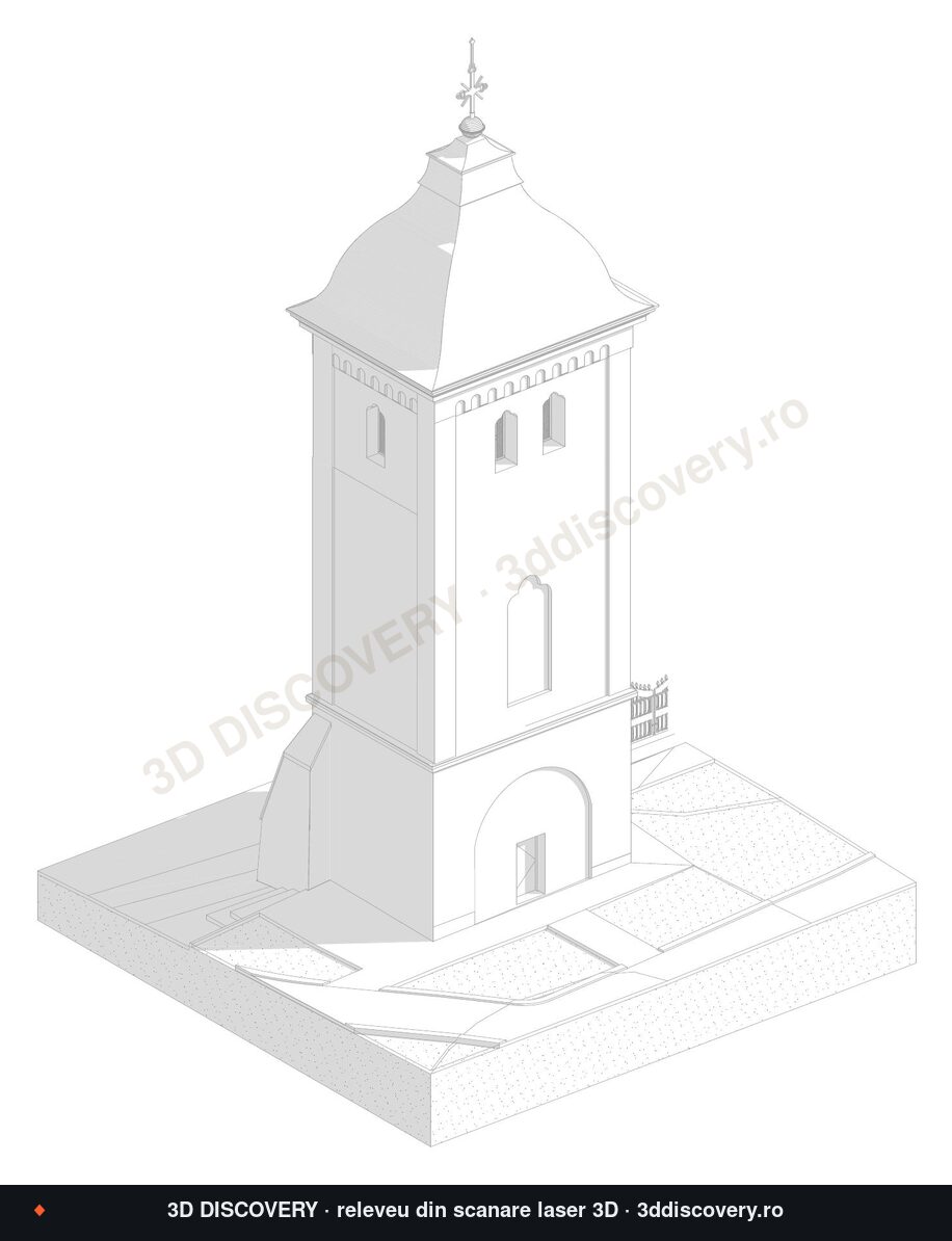
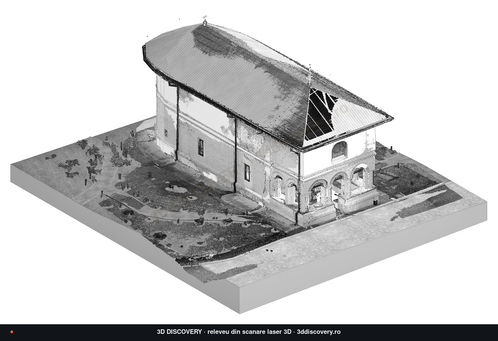
Want to see real drawings before a quote? Download the survey sample of the wooden church at Dintr-un Lemn Monastery: plan, section, elevation, 3D sections and render, at 1:50.
What HBIM is
HBIM – Historic Building Information Modelling – is the use of BIM principles to document and work with a historic building.
In our case, the starting point is the geometry measured by 3D laser scanning.
Walls, floors, vaults, columns, openings and other relevant elements are rebuilt as model elements, within the level of detail agreed for the project.
What we do
We build the geometric base of the HBIM model, mainly in ArchiCAD, directly on the point cloud.
What the project specialists determine
Materials, state of conservation, causes of decay, required interventions and restoration solutions are determined by the conservation architect and the certified specialists involved in the project.
If the project requires it, we can add the information they provide to the model.
We do not replace restoration expertise. We support it with a measured geometric base.
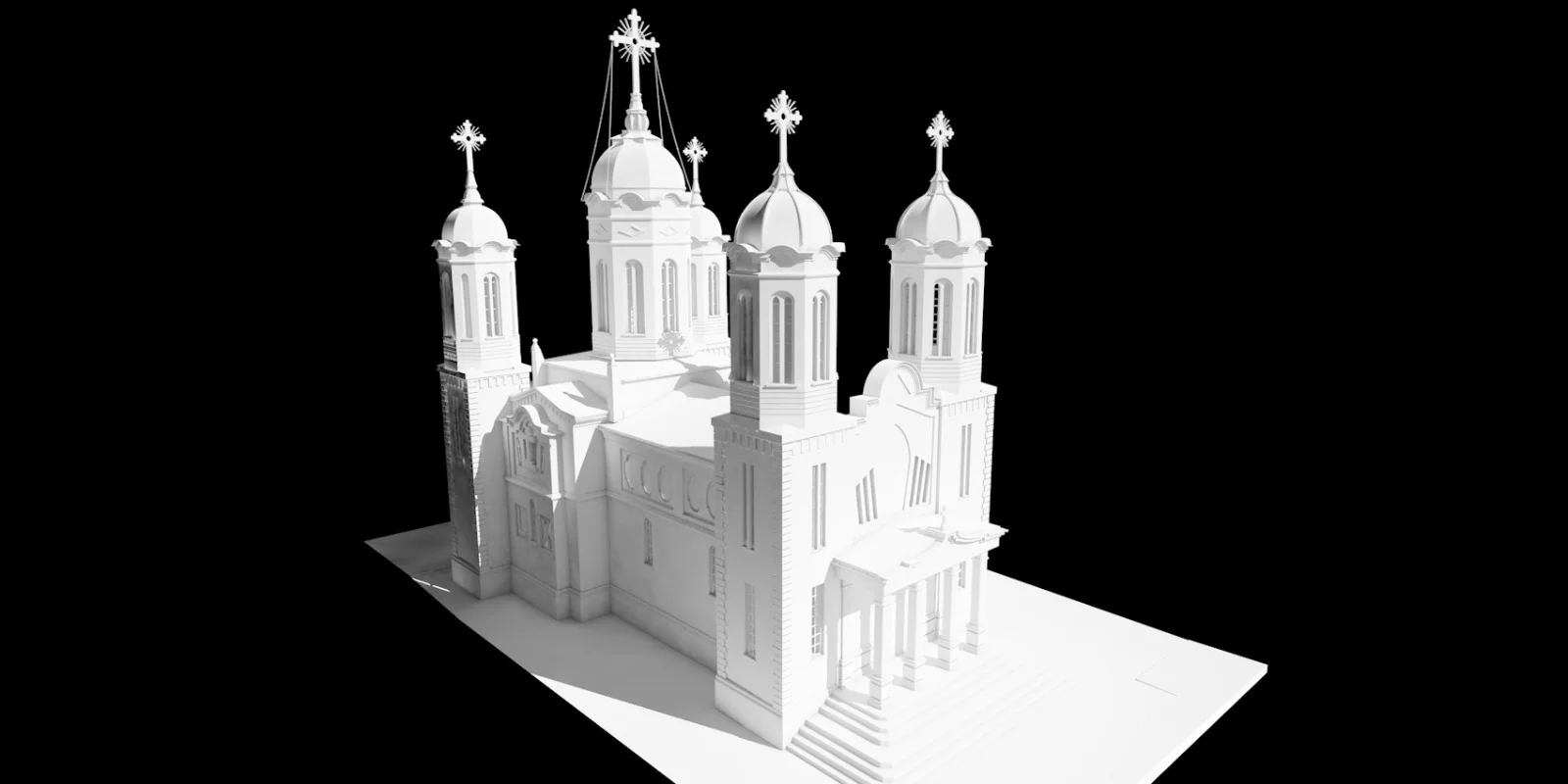
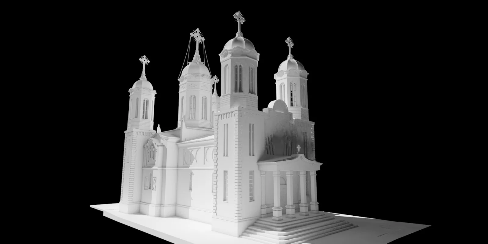
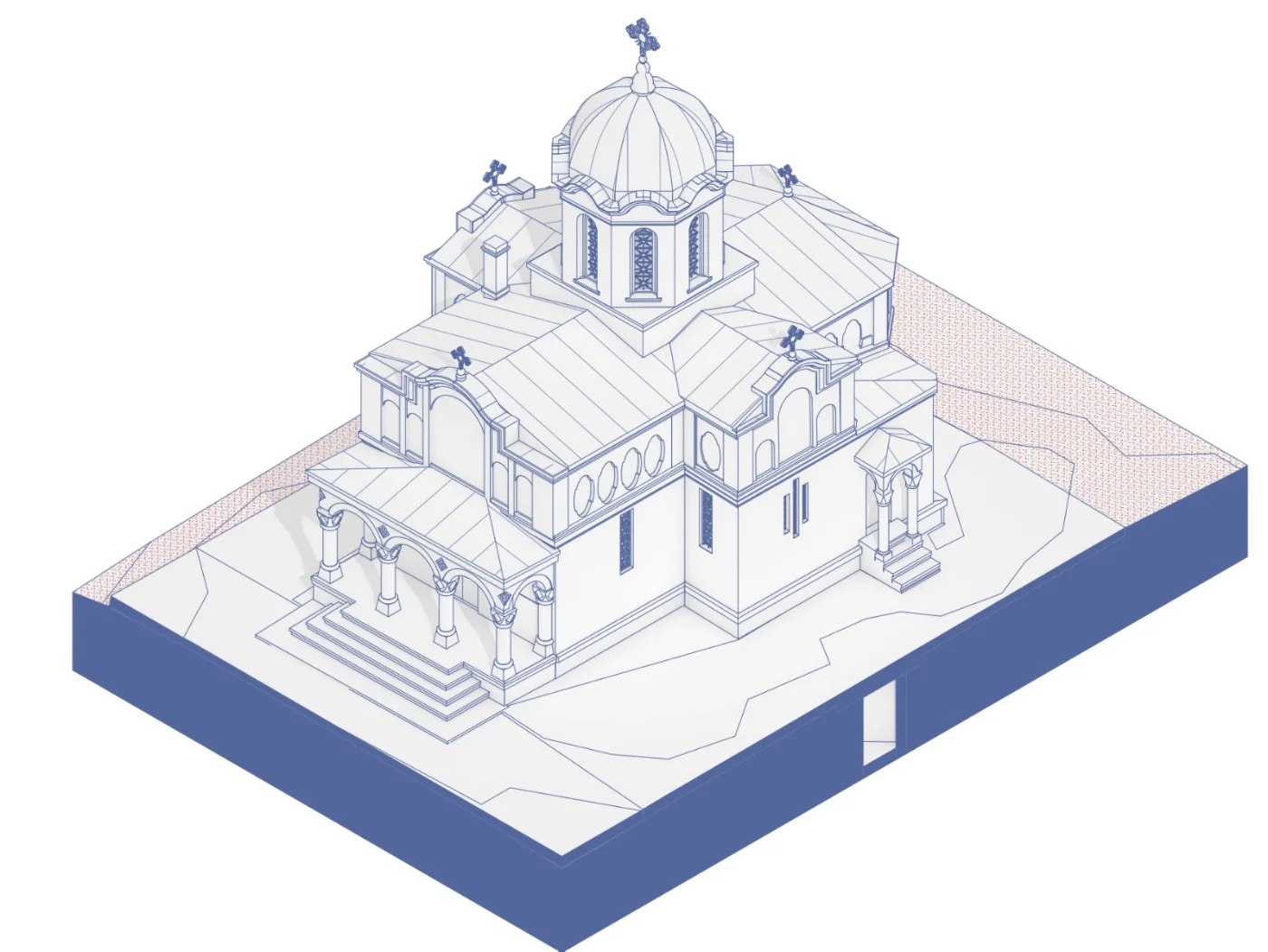
Examples of models built on the point cloud. The real geometry of the building, modelled in ArchiCAD: spires, domes, ornament, porch. Plans, sections and elevations are generated from the model.
The survey and the intervention design
3D laser scanning and the HBIM model do not replace the studies, assessments, investigations or approvals required for work on a monument.
Their role is different: to give every discipline a common geometric base of the existing condition.
The architect can design on the real geometry. The structural engineer can check positions and relationships between elements. Restoration specialists can use the orthophotos to map decay. The team can return to the point cloud later for checks.
For historic monuments, interventions fall under the specific heritage protection and approval regime, and specialist design belongs to licensed or certified professionals, as applicable.
How we work
The duration depends on the size and complexity of the building. St. John the Baptist Cathedral in Ploiești was fully scanned in one day.
Monuments and historic buildings documented by 3D Discovery
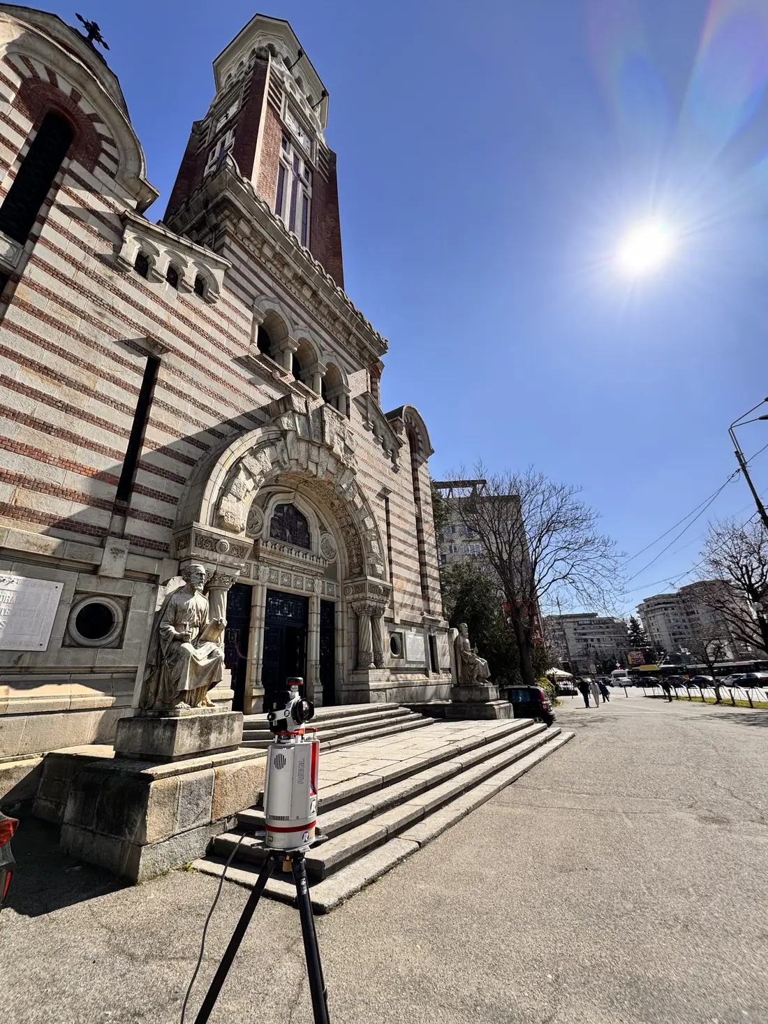 St. John the Baptist Cathedral – Ploiești | Full scan, interior and exterior. Documentation and drawings produced in ArchiCAD from the point cloud. See the project → |
|---|---|
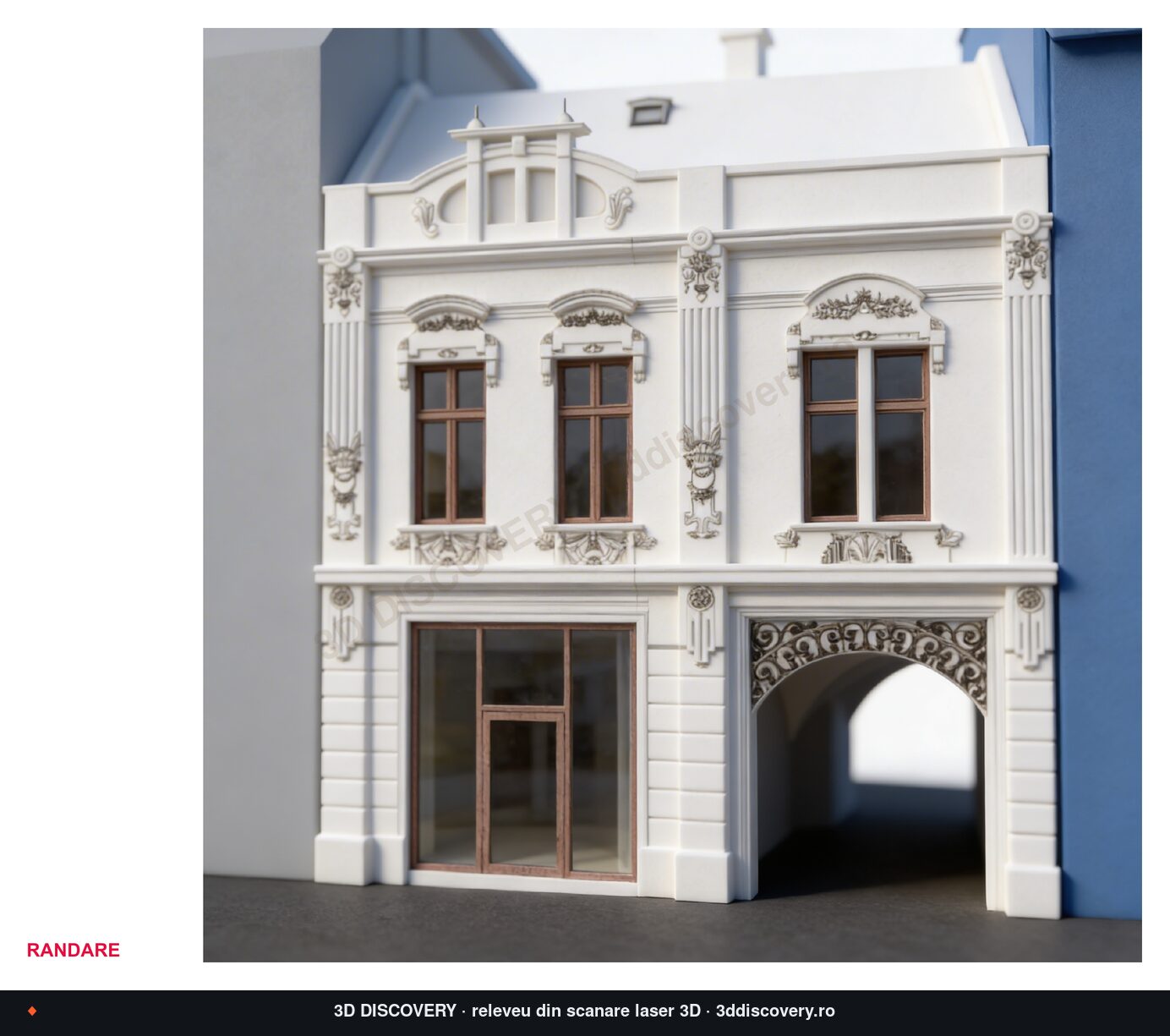 Heritage building – Mureșenilor St., Brașov | Private building in the historic centre. Riegl VZ-400i scanning from the street and courtyard; plans, main elevation at 1:50, street elevation and 3D model, delivered in 10 days for the façade refurbishment. See the project → |
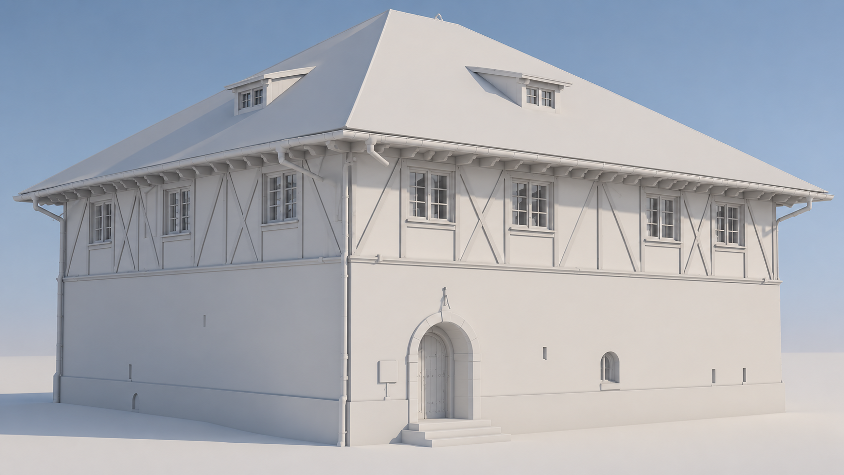 Zamfira Manor – Prahova | Historic building documented on its existing geometry as a base for design. See the project → |
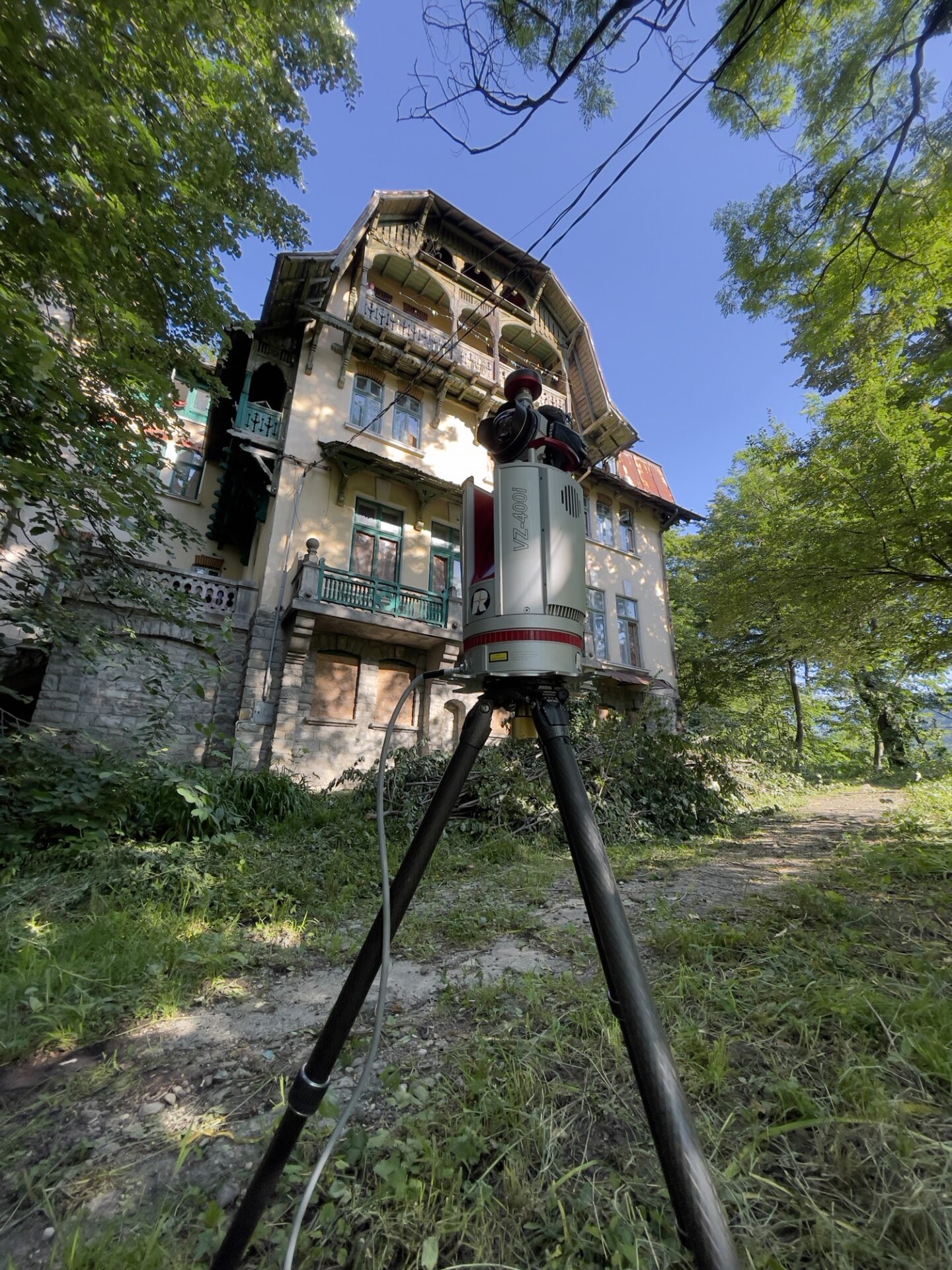 Cantacuzino Villa – Călimănești | Documenting the existing geometry before the intervention. See the project → |
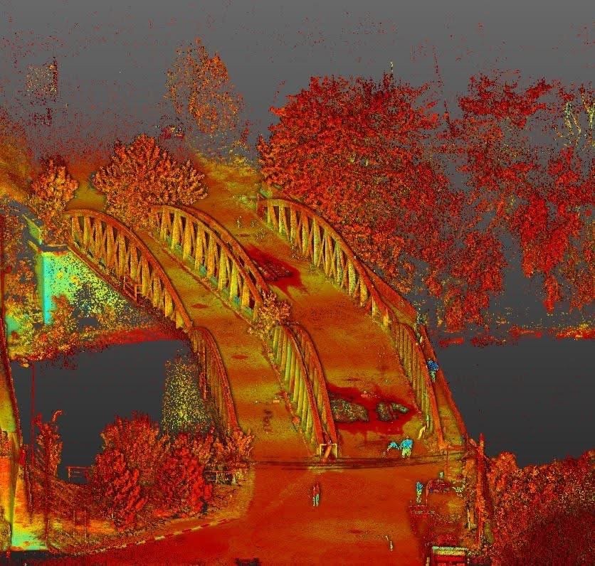 Bizetz Bridge – Giurgiu | A monument of Romanian engineering: point cloud, topographic plan and sections. See the project → |
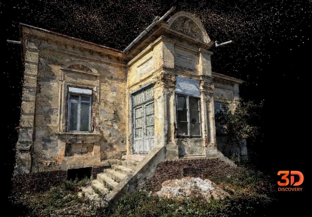 Historic building – Giurgiu | A late 19th-century house, with documentation of the façades and existing geometry. See the project → |
Monasteries documented by 3D Discovery
Vâlcea: Hurezi (UNESCO monument), Bistrița, Frăsinei, Cornet, Turnu, Stânișoara, Ostrov, Berislăvești, Dintr-un Lemn, Surpatele, Dobrușa, Jgheaburi.
Gorj: Crasna.
Plus Arutela Roman Fort (part of the UNESCO site Frontiers of the Roman Empire – Dacia).
Conventional survey or 3D laser scanning for a monument?
For a small, regular building with easy access, a survey made with conventional methods may be enough.
The problem appears when the geometry becomes irregular. Monuments can have vaults, deformed walls, level differences, irregular openings, decorative elements, complex façades or hard-to-reach areas.
In these situations, laser scanning reduces reliance on spot measurements and the risk of key information being missing once design is already under way.
We do not scan because the technology is spectacular. We scan when the building’s geometry justifies the method.
See the comparison: conventional survey or 3D laser scanning →
Frequently asked questions
What is a measured survey of a historic monument?
It is the graphic documentation of the monument’s existing condition: plans, sections, elevations and other drawings needed to understand the building’s current geometry. In our case, the survey is produced from a point cloud captured by 3D laser scanning.
Why is laser scanning useful on a historic building?
Because it captures a large amount of visible geometry in a single coordinate system, including irregularities, deformations and differences that are hard to document with point-by-point measurements.
What is HBIM?
HBIM is a BIM model of a historic building. The geometric model can be built on the point cloud and used to generate plans, sections and elevations, and to hold additional information defined by specialists.
Do you model the ornaments too?
It depends on the project brief. Some elements can be modelled, while others can stay as information in the point cloud or in the orthophoto. The level of detail should be chosen according to how the model will be used.
Do you also assess the state of conservation?
No. The state of conservation and the intervention solutions are determined by the conservation architect and the certified specialists. We provide the geometric base, the plans, the orthophotos and the model. On request, we can add the information supplied by the specialists to the model.
Which software will I receive the model in?
We work mainly in ArchiCAD; we also deliver in Revit or IFC, plus other exchange formats, according to requirements agreed before the project starts.
Do I also receive the point cloud?
Yes, if it is included in the scope. It can be delivered in E57, LAS or another agreed format.
Can I ask for extra dimensions after delivery?
If the area was captured well enough during scanning, extra information can be extracted later from the point cloud.
How long does a monument survey take?
It depends on floor area, complexity, access, number of levels and the deliverables required. We separate time on site from drawing and modelling time and set the deadline once the brief is clear.
Have you worked on UNESCO monuments?
Yes. We documented Hurezi Monastery by 3D laser scanning, a UNESCO monument, and Arutela Roman Fort, part of the UNESCO site Frontiers of the Roman Empire – Dacia. Beyond these, more than 20 heritage buildings, including the Bistrița, Frăsinei, Cornet, Turnu, Stânișoara and Dintr-un Lemn monasteries.
How much does a monument survey cost?
The price depends on days on site and on drawing and modelling time, which grow with floor area, complexity and the level of detail required. The quote is set once we have clarified the brief. Indicative ranges are on the pricing page.
Have a monument or historic building to document?
Send us: the location, a few photos, the approximate floor area and what the survey needs to include.
We reply within 24 working hours at most with the first clarifications. Once we understand the project, we agree the capture method, deliverables, level of detail, deadline and quote. Indicative ranges on the pricing page.
← All services · Restoration and heritage · Scan-to-BIM · Projects