
Projects documented with 3D laser scanning
Heritage, public buildings, industry and infrastructure across Romania. 3D laser scanning, measured surveys, land surveying and modelling for design and work on existing buildings.
Selected projects
A selection of recent work, from medical buildings and urban markets to bridges and historic villas.
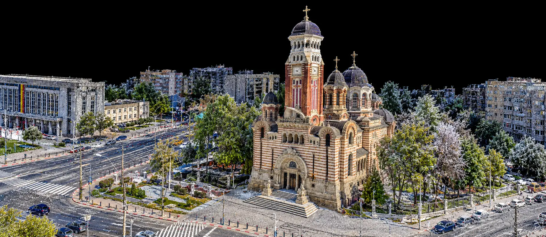
St. John the Baptist Cathedral, Ploiești
Fully scanned in one day: 2D plans, elevations, sections and a topographic plan for restoration.
See the case study →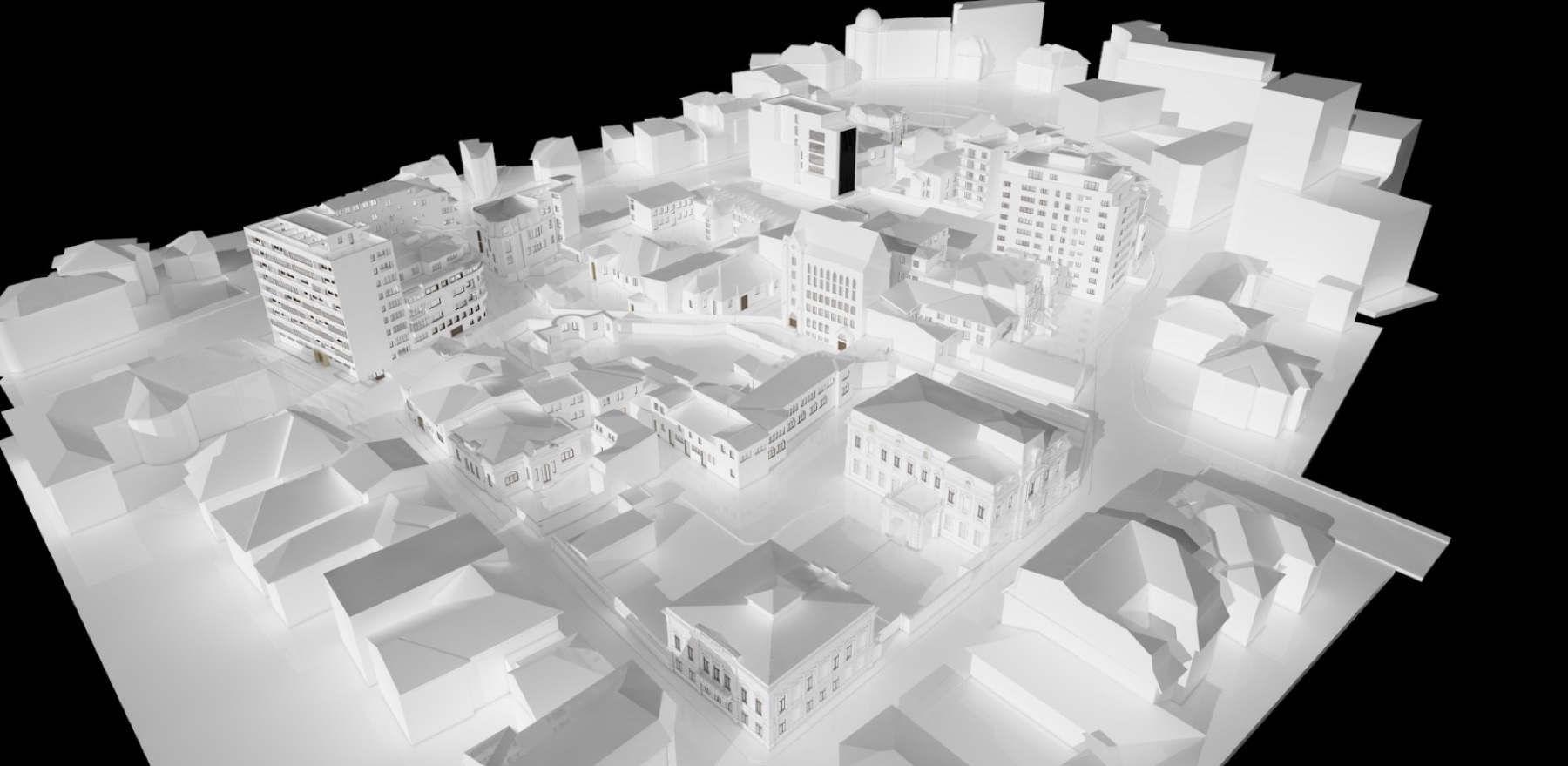
Amzei Market, Bucharest
Terrestrial scanning, land surveying and drone data combined into an urban 3D model and orthophoto.
See the case study →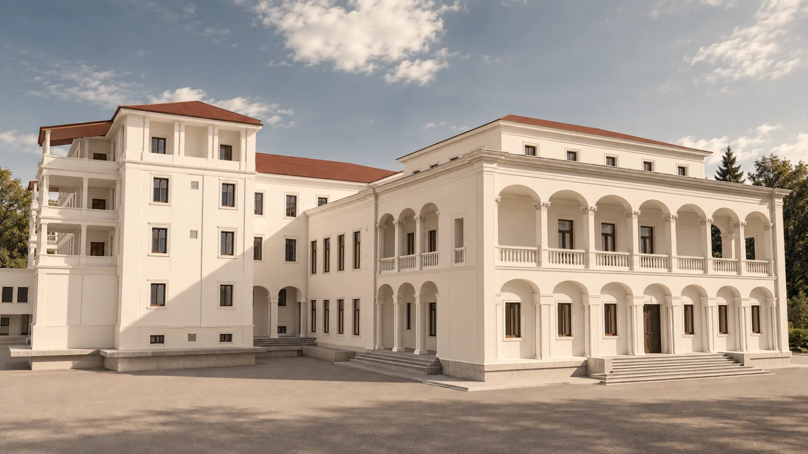
Elias Ward, Băile Olănești
3D laser scanning and modelling of the existing building as the geometric base for design.
See the case study →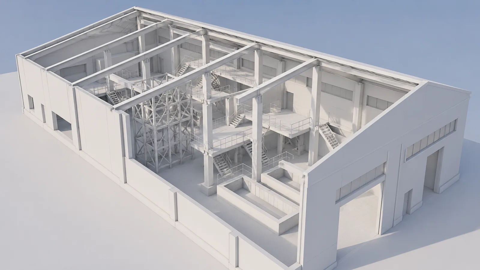
Industrial hall, Iași
8,000 m² with steel platforms: 3D model, sections and plans for equipment installation.
See the case study →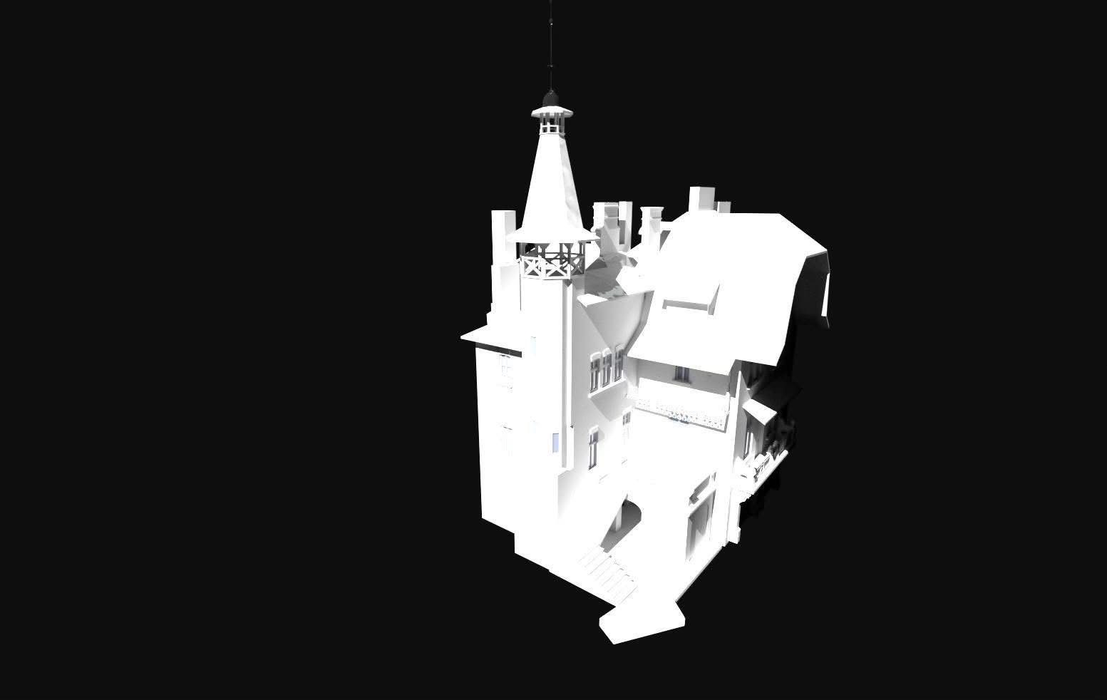
Cantacuzino Villa, Călimănești
One day on site: 3D model, sections, elevations and topographic plan.
See the case study →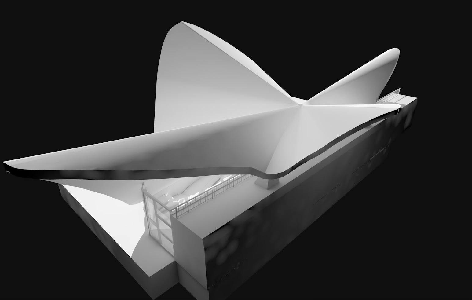
Spring 24, Băile Olănești
Building and terrain in a single point cloud, for conservation.
See the case study →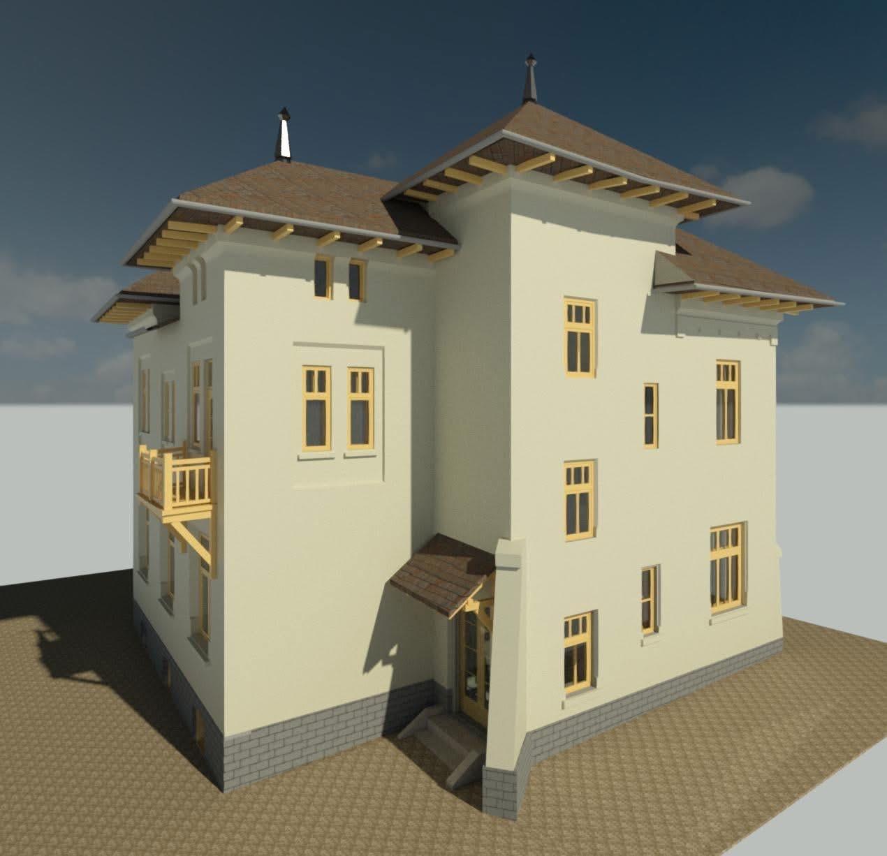
Villa in Băile Govora
Scanning, survey control, plans and 3D model in one geometric base.
See the case study →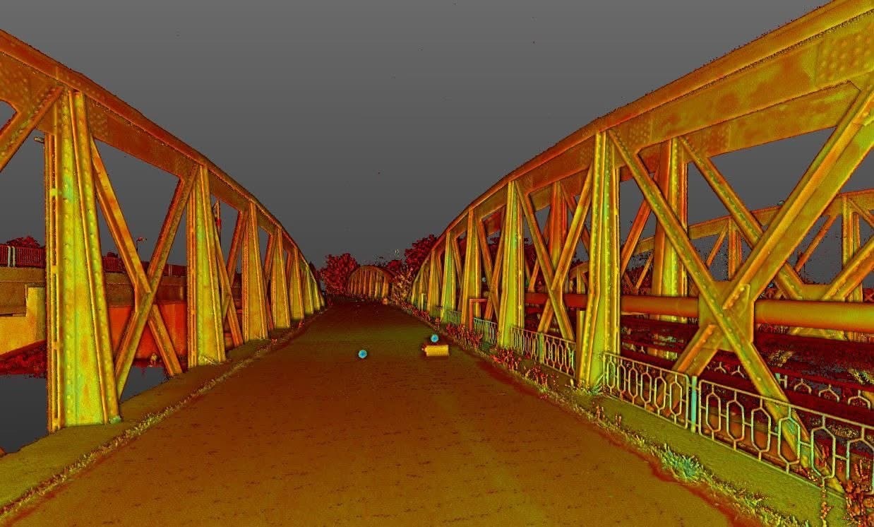
Bizetz Bridge, Giurgiu
Trimble TX8, two days on site: topographic plan, elevations, sections and 3D model.
See the case study →


Restoration on the real geometry, not on archive drawings
Old buildings do not follow their drawings, and monuments even less so. For restoration, conservation and approvals, the architect needs today's geometry: ornamented façades, deformations, sections through every level, the relationship with the ground. We scan with a Riegl VZ-400i and a Trimble TX8 in one or two days on site, and our architects extract the elevations, sections and 3D model. Measured documentation is what stands up in front of approval committees.
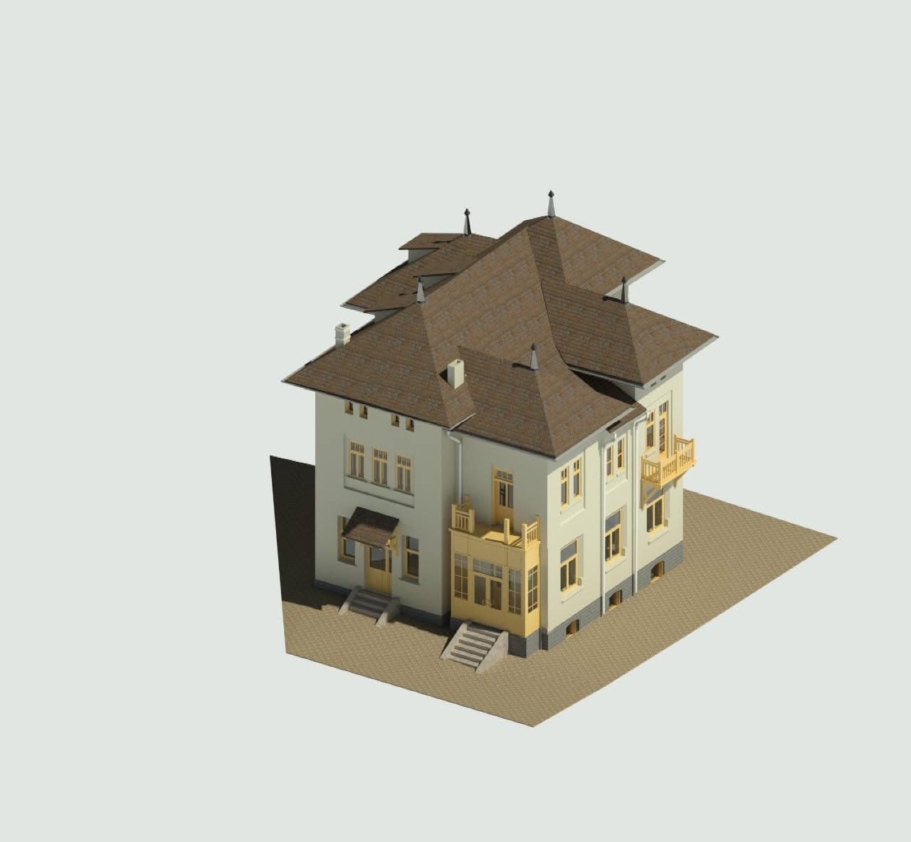
Interwar villa, Băile Govora
An emblematic villa from the golden age of Romanian architecture.
See the project →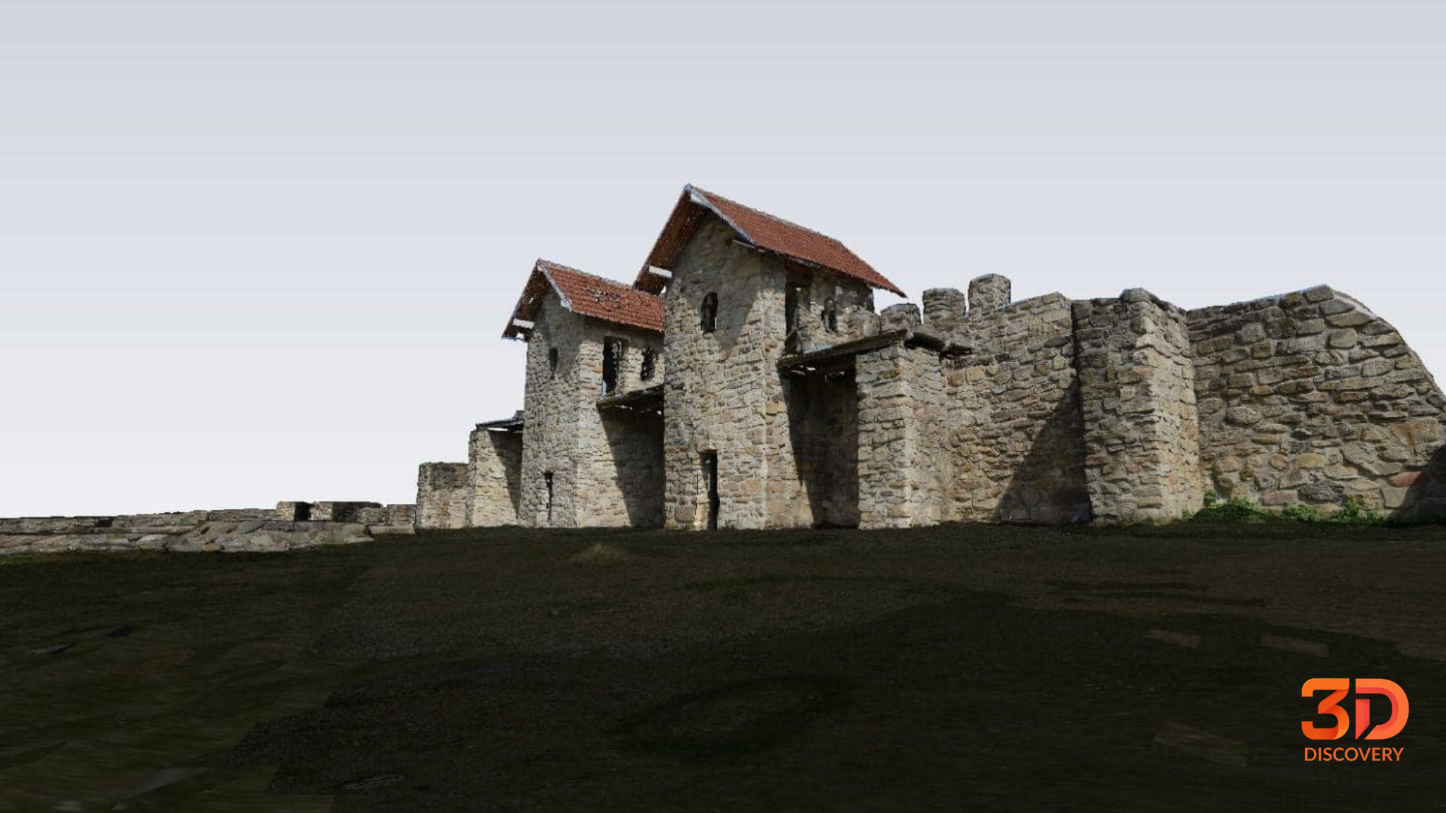
Arutela Roman Fort
2nd-century AD Roman fortification in the Olt Valley, a listed historic monument.
See the project →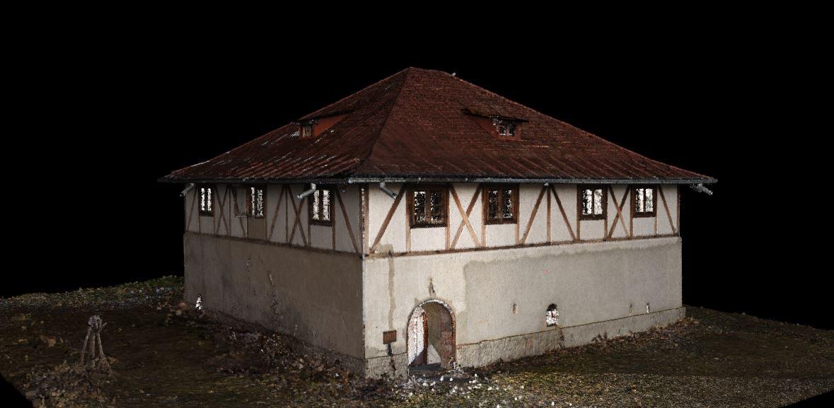
Zamfira Manor, Prahova
Scanned in one day on site with a Riegl VZ-400i: sections and elevations for documentation and restoration.
See the project →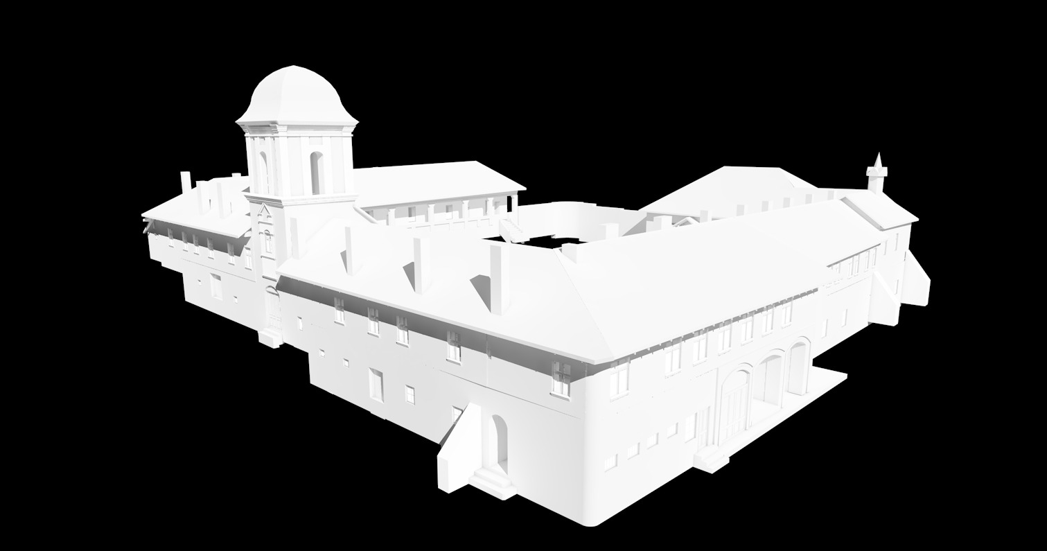
Frăsinei Monastery
18th-century complex in the Olt Valley, documented for conservation and intervention work.
See the project →Choose the project sector
Each sector has different requirements for accuracy, deliverables and timing. See the projects relevant to you.
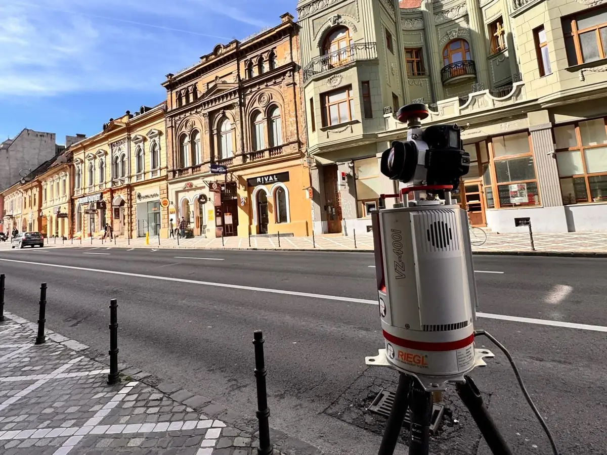
Heritage and historic buildings
Manor houses, period villas, monuments and archaeological sites.
See the projects →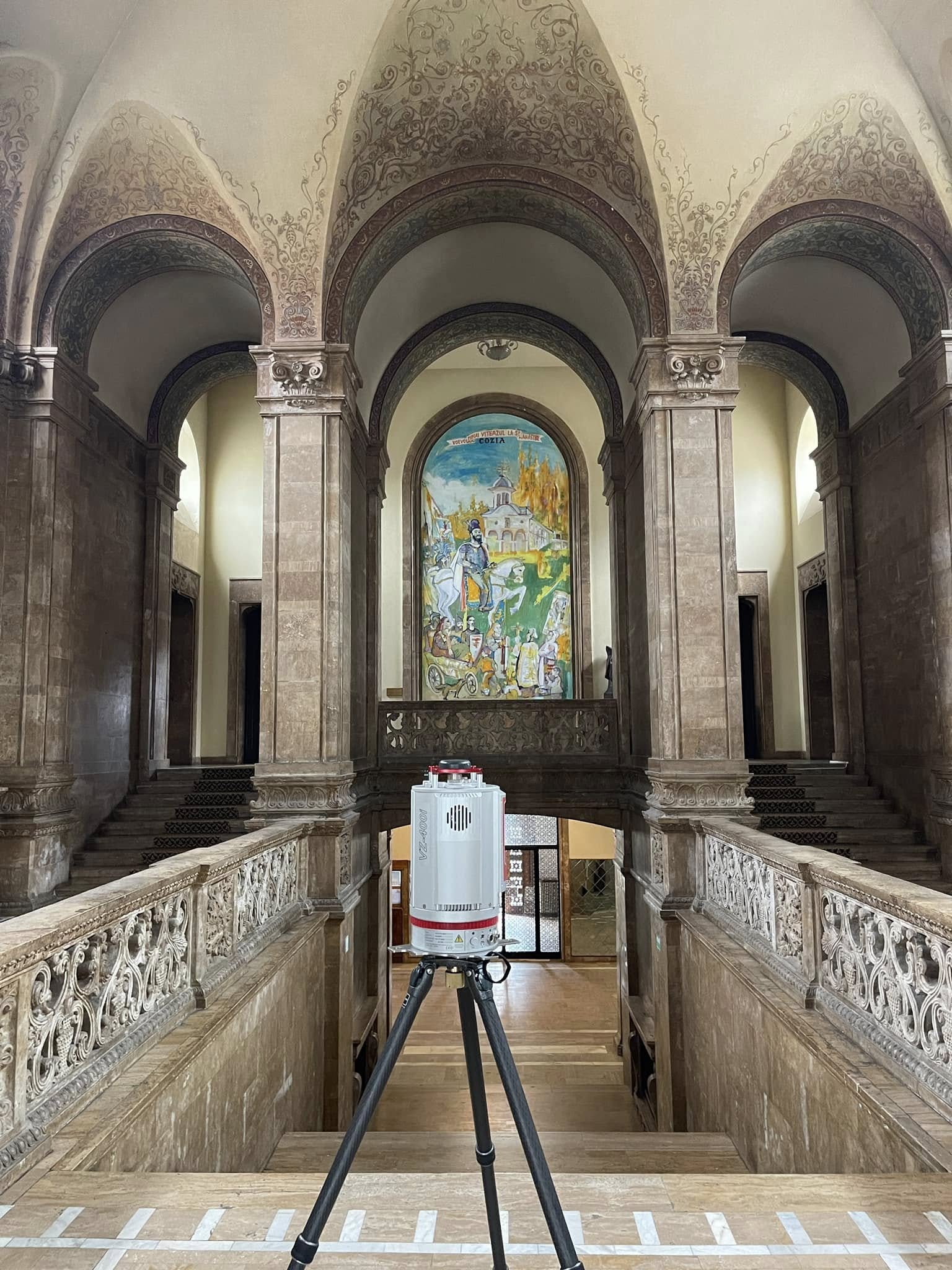
Public and administrative buildings
Schools, hospitals, offices and buildings in use.
See the projects →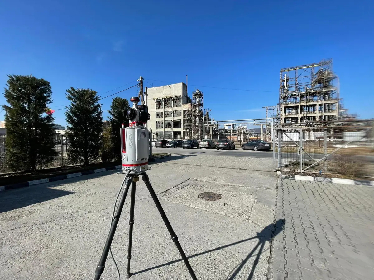
Industrial
Halls, platforms and plant for upgrades or installation.
See the projects →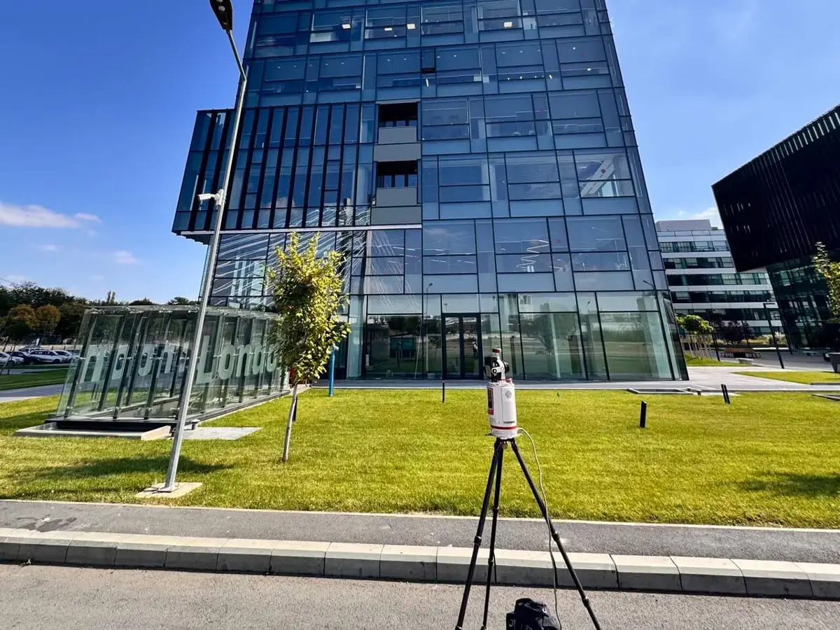
Residential and commercial
Villas, offices and hospitality for upgrades.
See the projects →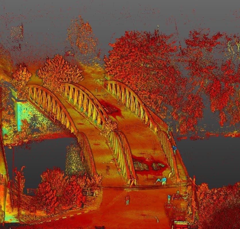
Infrastructure and land surveying
Bridges, roads, utilities and mobile mapping.
See the projects →3D modelling from your scans
Already have a point cloud, a laser scan or 3D photos? We turn it into a 3D model, measured survey, plans, sections and elevations for design, restoration or intervention work. We work with data from any scanning team.
Send us the point cloud →Have a building or a point cloud?
Tell us what decision you need to make. We recommend the right documentation and send you an estimate.
Describe your project →