
Projects
Work on roads and networks
The 3DD Spatial Reality pilot and the infrastructure work behind it.
Pilot · 2026
Râșnov, Iazului Street, 0+000–0+100
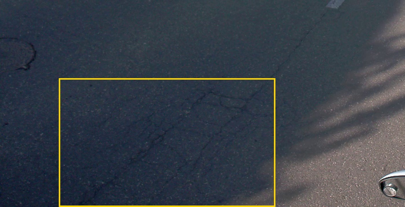
We ran the first 100 metres of the street through the whole workflow: 360° capture, the inventory of roadside assets, pavement defects verified on the image and the immersive 3D tour, all in the same environment.
What the pilot shows: the form of the deliverables and the link between map, panorama, 3D tour and export. It is not an independent test of system performance.
| Example | Chainage | Side | Type | Status |
|---|---|---|---|---|
| g012 | 0+002 | left | Crazing | validated |
| g067 | 0+002 | left | Transverse crack | validated |
Experience
Other infrastructure work
2,000 km of roads surveyed
With 3D scanning and conventional survey, from local roads to national roads.
Mobile LiDAR mapping →DJ 607B
100 km measured in 2 days, plus terrestrial scanning of the bridges, for the upgrade plan.
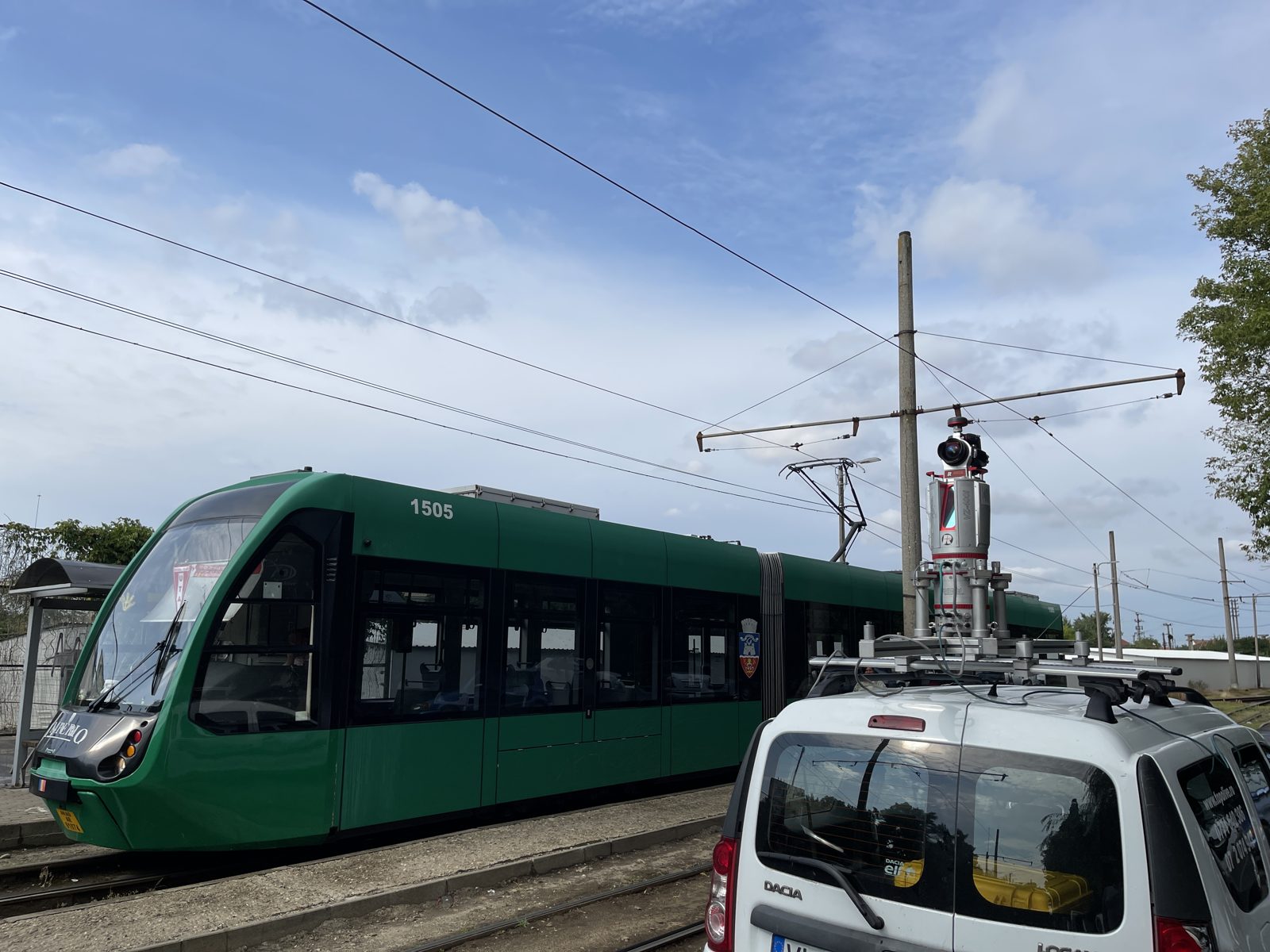
Arad and Brăila
Surveys for tram line modernisation and street redevelopment, with mobile and terrestrial scanning and conventional survey.
Bucharest
Street survey with mobile, terrestrial and aerial scanning.
DN 7A and DJ 108B
Mobile and terrestrial scanning for upgrading; as-built survey.
Călimănești and Nădlac
Whole towns surveyed for utility networks.
Have a similar project?
Tell us which road or network you have and what decision needs to be made. We reply with what we can measure and how long it takes.