
Services
What we deliver for roads and towns
Four services built on the same field campaign. Order them separately or together, and the data stays linked: the same asset appears on the map, in the panorama and in the export.
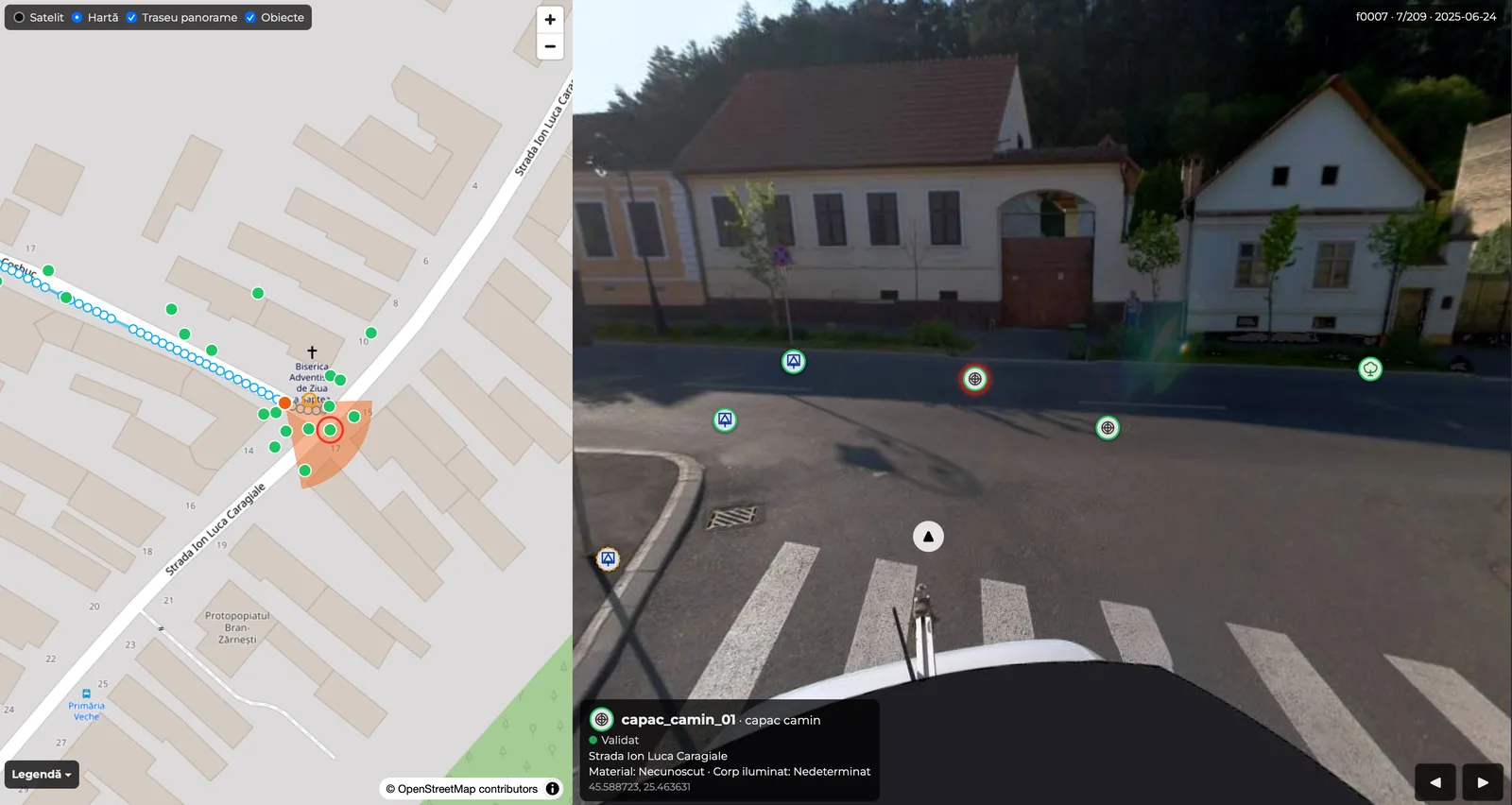
01 · Road and urban GIS inventory
Every asset, with position, photo and record
We inventory the classes agreed before fieldwork: road signs by type, poles by type, cabinets, manholes. Other classes, such as gullies, trees or road markings, can be added as a pilot.
- 1,000 km of roads already captured for GIS with panoramic cameras
- type, subtype, street, chainage, side of the road
- Stereo 70 coordinates and photo
- SHP and CSV in Stereo 70, GeoJSON in WGS84 (RFC 7946), Excel for registers
- a layer in 3DD Spatial Reality, linked to the panorama
Positions taken from 360° imagery are approximate. When the project needs design-grade coordinates, the inventory is done on a LiDAR point cloud or by surveying.
02 · Pavement defect survey
Pavement condition, checked on the image
The route imagery is analysed for potholes, longitudinal cracks, transverse cracks and crazing. A specialist checks every detection on the original image and removes those that are shadows, patches or manhole covers.
- map of pavement condition by section
- list of confirmed defects, with chainage and coordinates
- the image on which each defect was confirmed
- GIS files and an Excel table
We record what is visible on the surface. Pothole depth is not determined from images, and the findings do not replace a technical assessment of the road structure.
Service page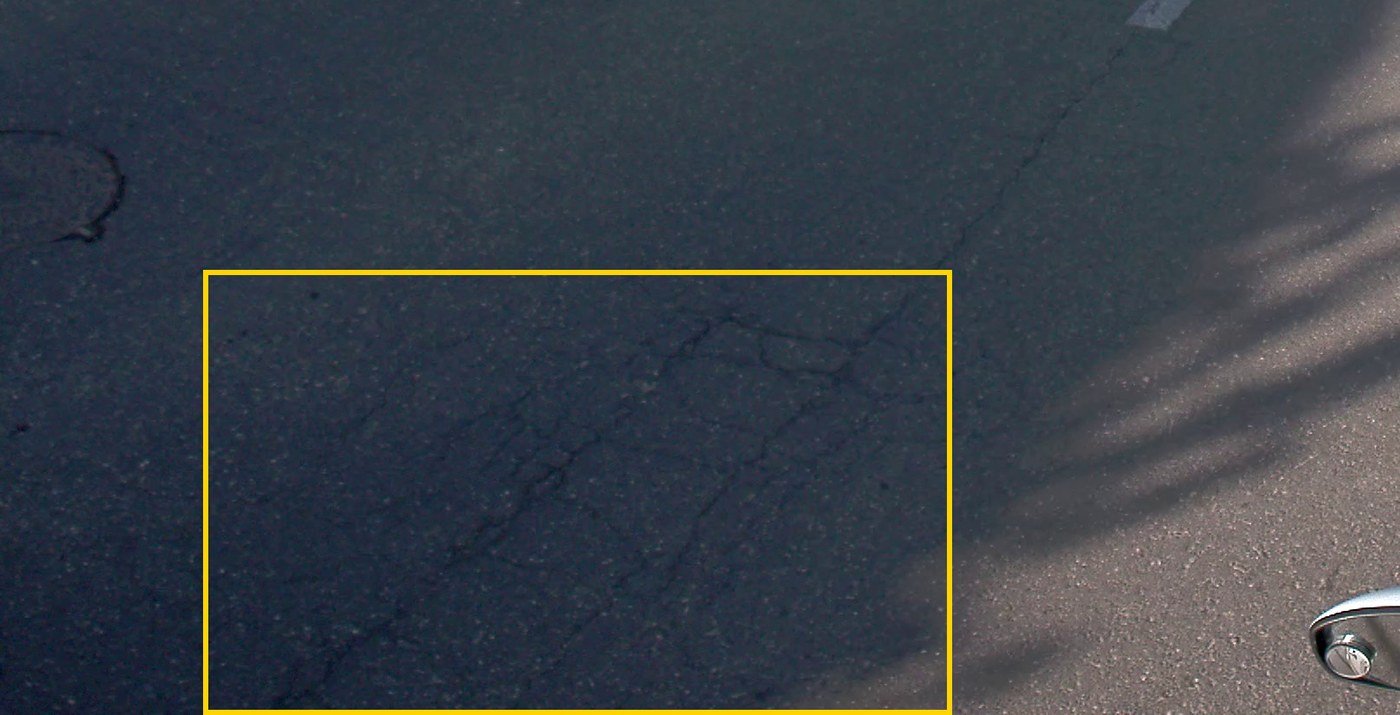
03 · Urban virtual tour
The street, available from the office
The route stays documented in georeferenced 360° imagery, on the map. For sections that need more, we build an immersive 3D tour of the street that you move through as on a site visit.
- 360° imagery of the whole route
- immersive 3D tour, on computer and phone
- online access for the whole team, nothing to install
The immersive 3D tour is for visual inspection. No measurements are taken on it.
How we check pavement condition · 34 s
04 · Mobile LiDAR mapping and surveying
Measured geometry, for design
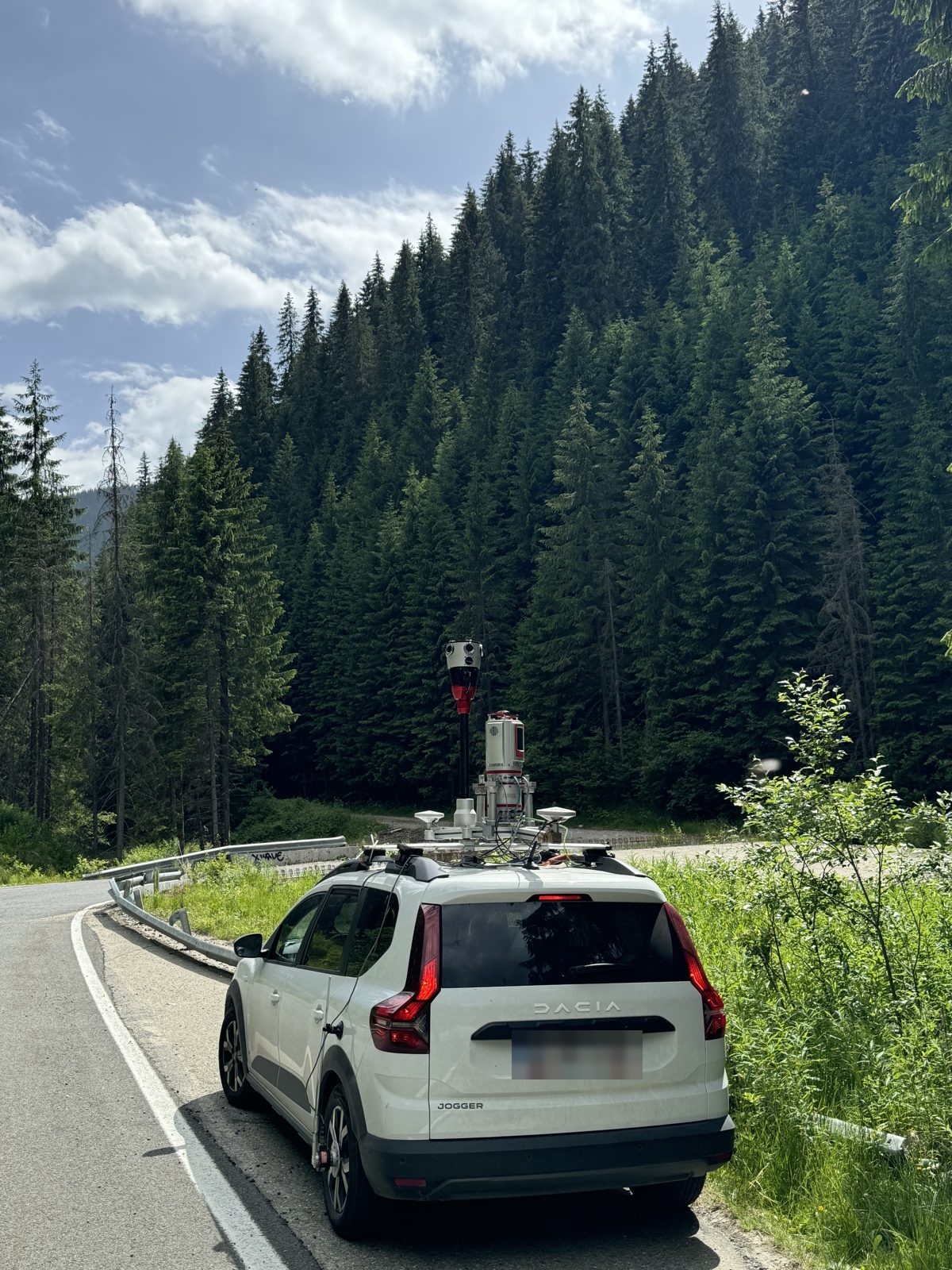
When the work needs levels and coordinates, we measure with mobile LiDAR scanning, terrestrial scanning and conventional survey, tied to a GNSS control network. We deliver a point cloud and a topographic plan in Stereo 70.
- 2,000 km of roads surveyed with 3D scanning and conventional survey
- 1,000 km of roads captured for GIS with panoramic cameras
- DJ 607B: 100 km in 2 days, plus terrestrial scanning of the bridges
- tram lines in Arad and Brăila, streets in Bucharest
Start with a pilot
Pick a representative street. We capture it, deliver the inventory, and you decide from the result whether to extend to the whole network.