
Surveying
Surveying for roads and streets
Topographic surveys for the design and upgrading of roads, streets and tram lines. We choose the method for the project: mobile scanning, terrestrial scanning, drone flights or conventional survey, often combined. We deliver a topographic plan in Stereo 70, long and cross sections and CAD drawings to the project brief.
Methods
How we measure
Mobile scanning
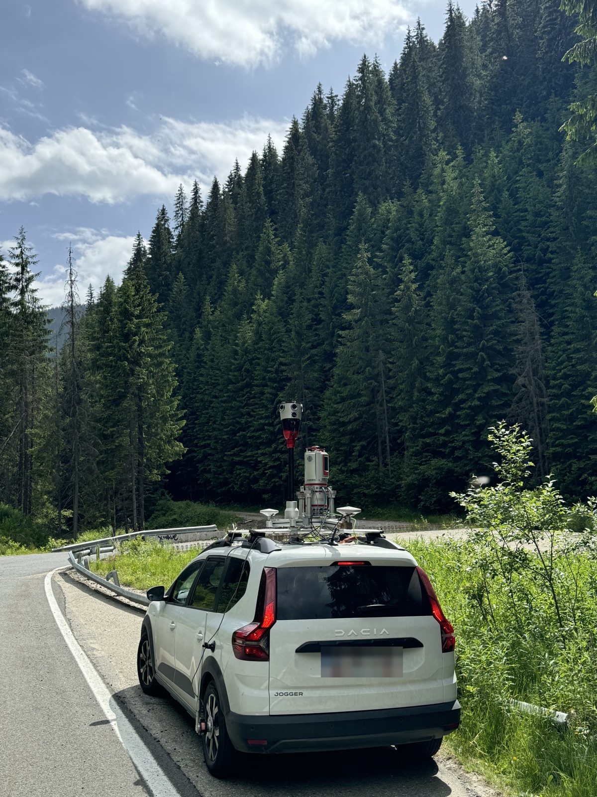
For long routes: county and national roads, streets, tram lines. On DJ 607B we measured 100 km in 2 days.
Mobile LiDAR mapping →Terrestrial scanning
For bridges, junctions and places the vehicle cannot see fully: façades, retaining walls, tie-in details.
Infrastructure work →Conventional survey and GNSS
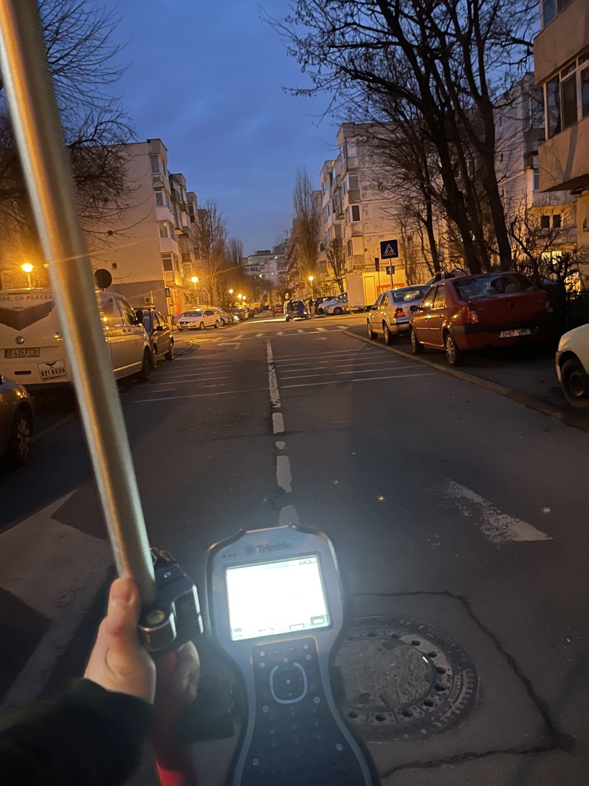
The control network, check points and details that need a total station on site.
Discuss the method →Construction surveying
Setting out and monitoring works on site, through to the as-built survey.
Construction surveying →References
Where we have worked
- 2,000 km of roads surveyed with 3D scanning and conventional survey, from local roads to national roads
- DJ 607B: 100 km in 2 days, plus terrestrial scanning of the bridges, for the upgrade plan
- DN 7A: mobile and terrestrial scanning for upgrading
- DJ 108B: as-built survey
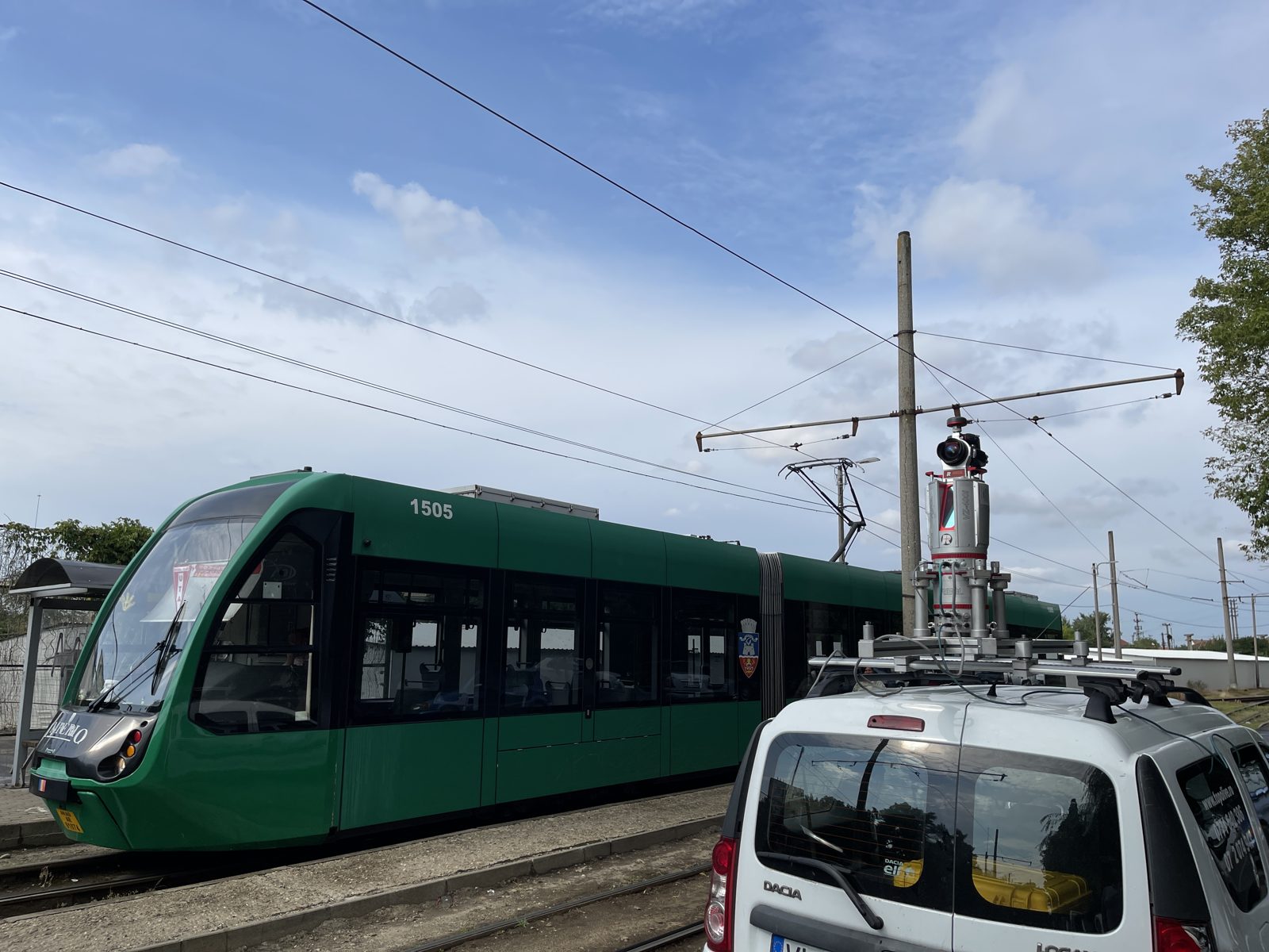
- Arad: tram line modernisation, with mobile and terrestrial scanning and conventional survey
- Brăila: street redevelopment and tram lines, with terrestrial and mobile scanning and conventional survey
- Bucharest: street survey with mobile, terrestrial and aerial scanning
- Călimănești and Nădlac: whole towns surveyed for utility networks
- Râmnicu Vâlcea: more than 40 km of roads
Same pass
The topographic plan and, on request, the road condition
When the vehicle drives the route for the survey, we can also record 360° imagery in the same pass. From it we deliver the GIS inventory of roadside assets, pavement defects and the immersive 3D tour of the street.
Do you have a road to design or upgrade?
Send us the route, the length and the design stage. We tell you which method we use, what we deliver and how long it takes.